Photos
|
Bridger Range, 2020-10-24 Wind-drifted snow avalanched naturally in a few areas of the northern ranges yesterday (10/23). This photo was near Fairy Lake in the Bridger Range. Photo: B. VandenBos Link to Avalanche Details |
|
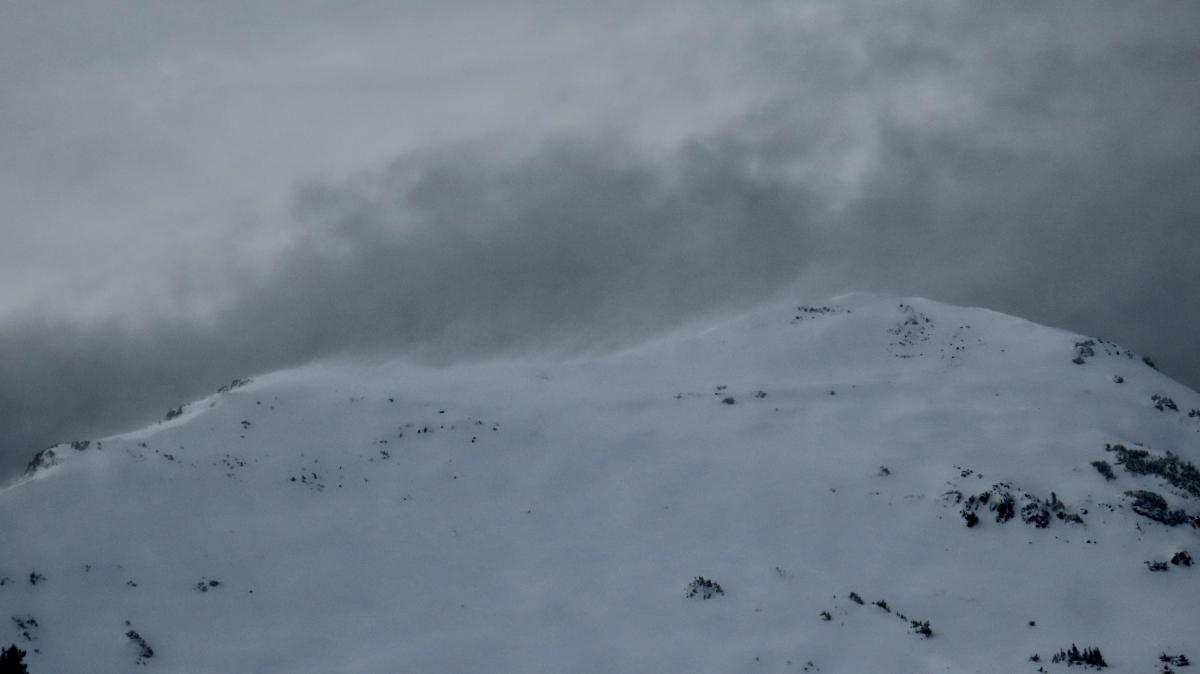
Bridger Range, 2020-10-24 Wind in the last 36 hours left a fingerprint of ripples near Fairy Lake in the Bridger Range. Photo: B. VandenBos Link to Avalanche Details |
|
Northern Gallatin, 2020-10-24 A skier on Mt Blackmore "observed some natural loose dry sluffs on the N face and the E face off the N ridge. They look like they came down in the last 24 hours with this new snow and wind; they were still fairly defined when I saw them." Photo: Jeanine Dalimata Link to Avalanche Details |
|
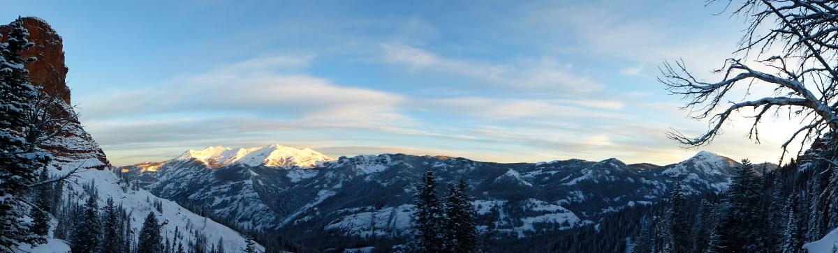
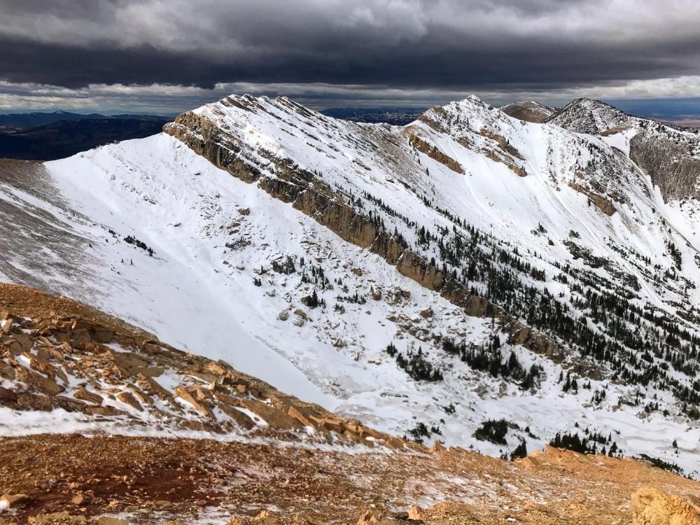
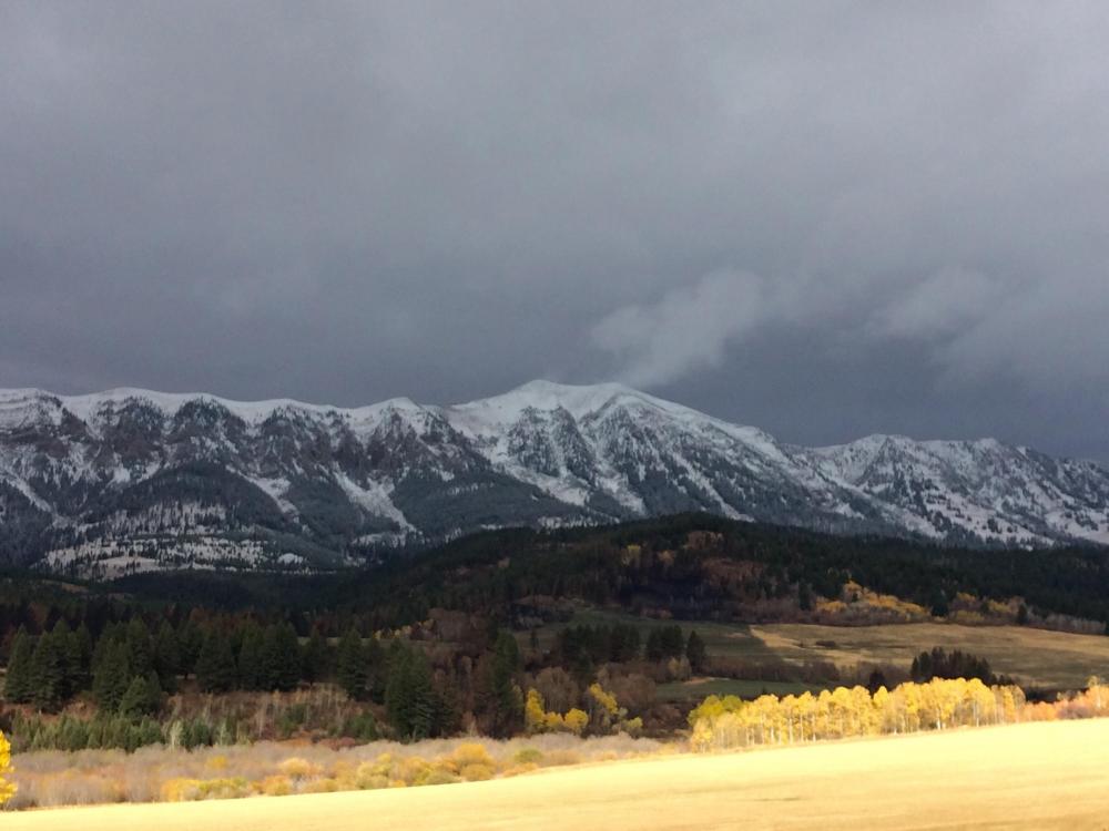
Northern Madison, 2020-10-23 A panorama of the snow covered peaks in the northern Madison Range taken from Sphinx Mountain. Photo: GNFAC |
|
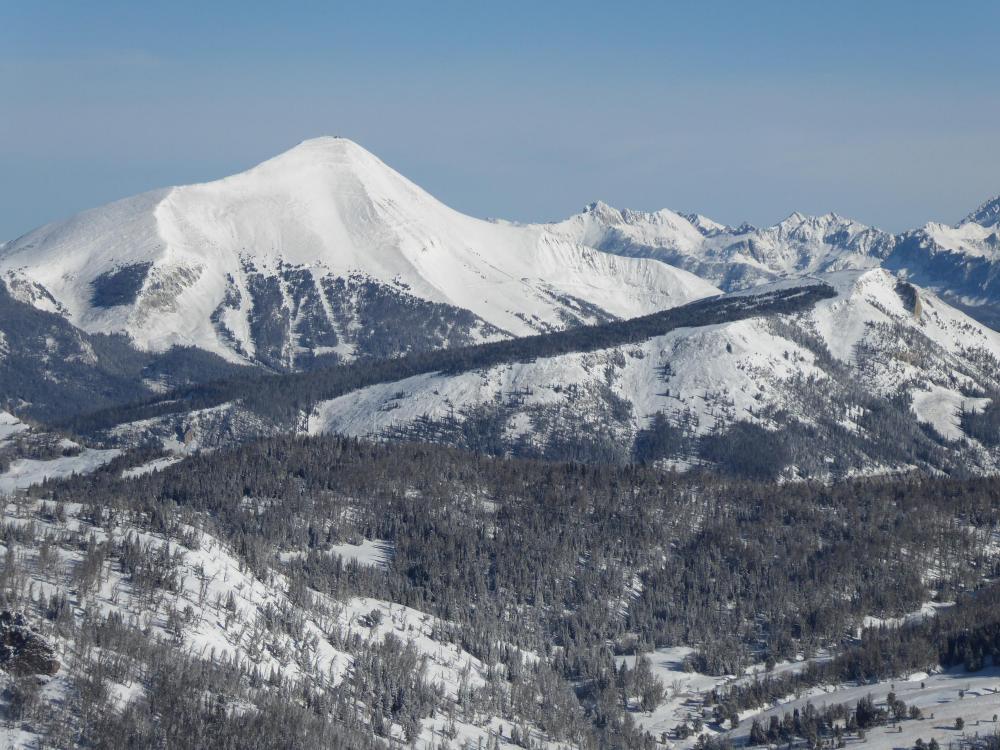
Northern Madison, 2020-10-23 The mountains are snowy in the northern Madison Range. This photo is of the south face of Lone Peak and the Yellowstone Club with Beehive Basin in the background. Photo: GNFAC |
|
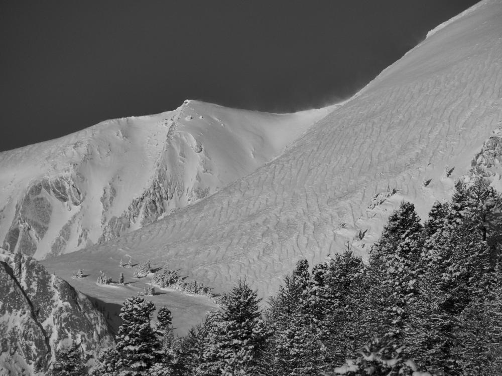
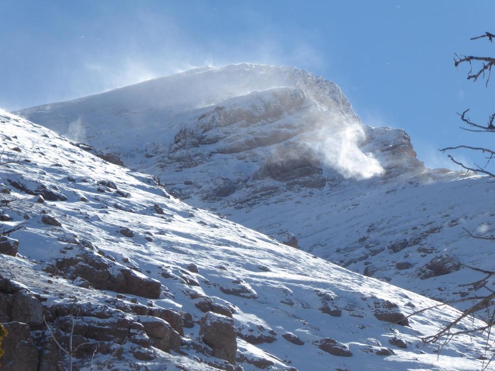
Northern Madison, 2020-10-23 Winds were blowing at upper elevations (+9,000') and loading slopes that were cracking and avalanching. Photo: GNFAC Link to Avalanche Details |
|
Northern Madison, 2020-10-23 Approaching the north face of the Sphinx we got shooting cracks in the new, windblown snow. It was a definite heads-up! Photo: GNFAC Link to Avalanche Details |
|
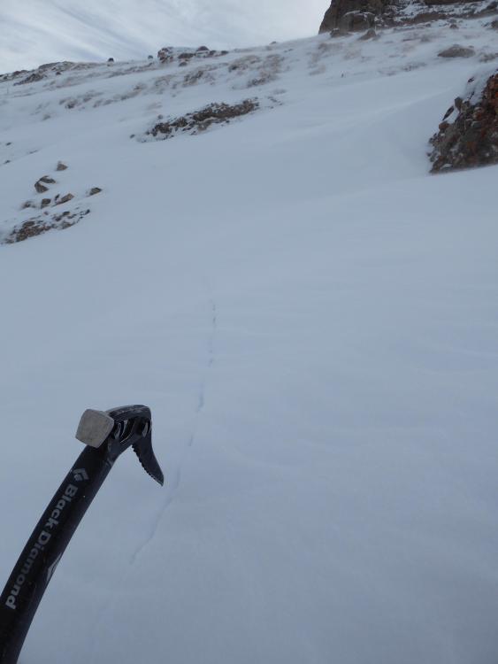
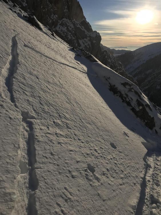
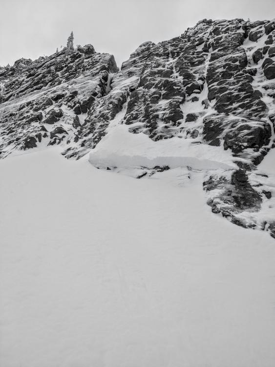
Bridger Range, 2020-10-23 While skinning up a south face in Frazier Basin today, skiers got 2-3" wind slabs to release. Photo: Max Cohen Link to Avalanche Details |
|
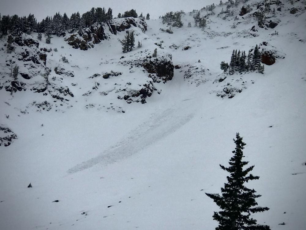
Northern Gallatin, 2020-10-23 A skier saw widespread small dry loose avalanches in Hyalite on 10/22. Photo: B. VandenBos Link to Avalanche Details |
|
Northern Gallatin, 2020-10-23 A skier saw widespread small dry loose avalanches in Hyalite on 10/22. Photo: B. VandenBos Link to Avalanche Details |
|
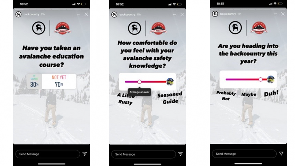
, 2020-10-22 Backcountry.com did a social media survey and found that many of us could use an avalanche class. Don't hesitate to sign up for one. Even a one-hour avalanche awareness class is a great place to start. Check out our Education Calendar for an expanding list of classes being offered in southwest Montana. Many are free. |
|
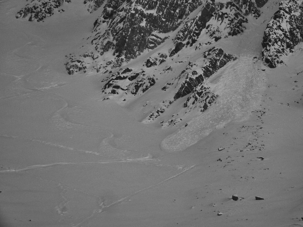
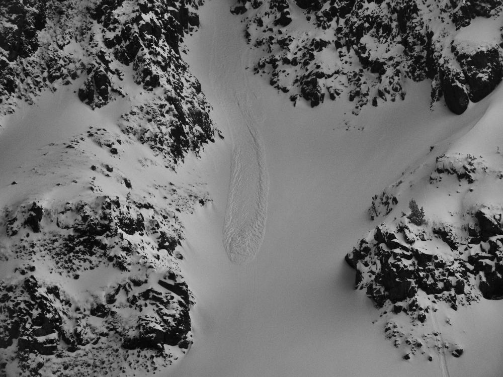
Bridger Range, 2020-10-20 Natural avalanche crown observed on October 19th along the side of The Great One couloir near Fairy Lake in the northern Bridger Range. Photo: B. VandenBos Link to Avalanche Details |

|
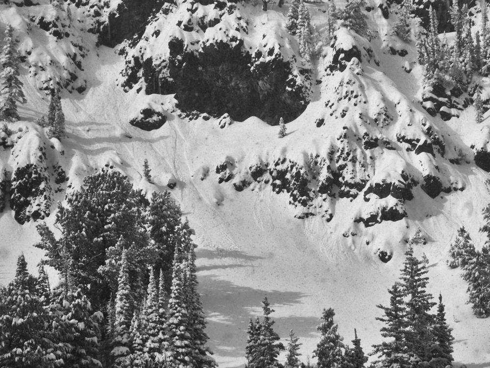
Bridger Range, 2020-10-20 Small natural avalanches in windblown snow near Fairy Lake, observed on October 19th. From obs: "There was some natural avalanche activity coming down off of the cliffs above... Looks like they came down either yesterday afternoon or last night, there was fresh windblown snow on top of the debris. We did observe some wind activated spindrift coming down the rocks when the wind picked up on the ridge and sent it down, very light sluffs but constant.... The natural activity we saw was wet slides and on the surface, it didn’t step down into any of the layers underneath just yet. The wind is strong and will continue to load high elevation ridge lines and cross load lower slopes." Photo: J. Dalimata Link to Avalanche Details |

|
Northern Gallatin, 2020-10-20 Snow distribution high in the Northern Gallatin Range on October 19th. Photo: G. Antonioli |
|
Northern Gallatin, 2020-10-20 October snow drifting on Mt. Blackmore after heavy snowfall and strong west winds on October 19th. Photo: G. Antonioli |
|
Out of Advisory Area, 2020-10-20 A runner sent this photo from Octoberr 16th in the Absarokas... "The old snow has created a bed surface that is a cause for concern as more snow falls, the wind continues to blow, and temperatures drop. Also the areas where the wind has cross loaded into thick slabs is a bit worrisome. Those are easy to see in the photos." Photo: J. Dalimata |
|
Bridger Range, 2020-10-16 Wind was blowing and drifting recent snow in the Bridger Range the morning of October 15th. Photo: B. VandenBos |
|
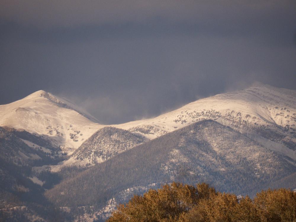
Northern Madison, 2020-10-16 Snow on Lone Mtn. on the morning of October 14th. Photo: B. VandenBos |
|
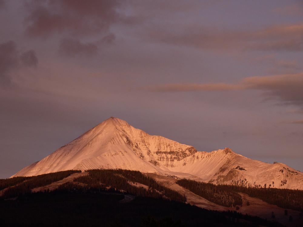
Bridger Range, 2020-10-11 By morning of October 11 most mountain ranges were white at the higher elevations. This picture of Saddle Peak was taken from Stone Creek up Bridger Canyon. About .6-.8" of precipitation fell throughout southwest Montana. The Fisher Creek Snotel outside of Cooke City shows 6" of snow fell at 9,100 feet. Only time will tell what melts and what sticks around, but it sure is a good sign! Photo: GNFAC |