Photos
|
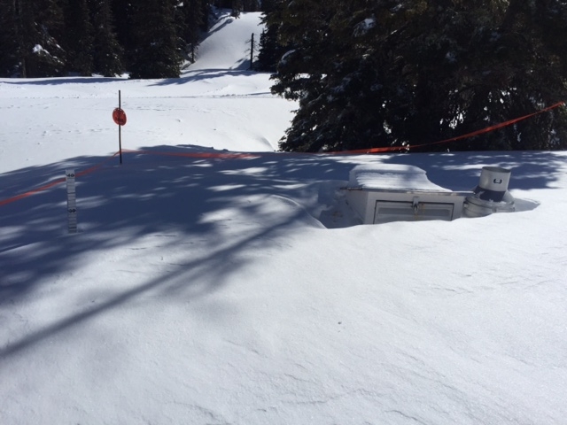
Bridger Range, 2018-04-14 The Bridger Bowl weather station is buried by the new snow. Photo: BBSP |
|
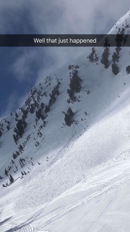
Cooke City, 2018-04-12 Riders triggered this slide on Monday (4/9) on the southwest facing chutes of Scotch Bonnet mtn. near Lulu Pass. Nobody was caught. Photo: Anonymous |

|
, 2018-04-11 May 3-4th, Give Big online fundraising campaign! This is our one-and-only financial appeal to our users. Check out our site at: https://www.givebiggv.org/organizations/friends-of-the-gallatin-national-forest-avalanche-center
|
|
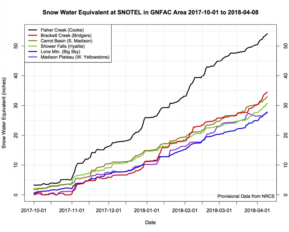
, 2018-04-09 Snow water equivalent of the snowpack at primary SNOTEL sites within the GNFAC advisroy area from October 1, 2017 through April 8, 2018. |
|
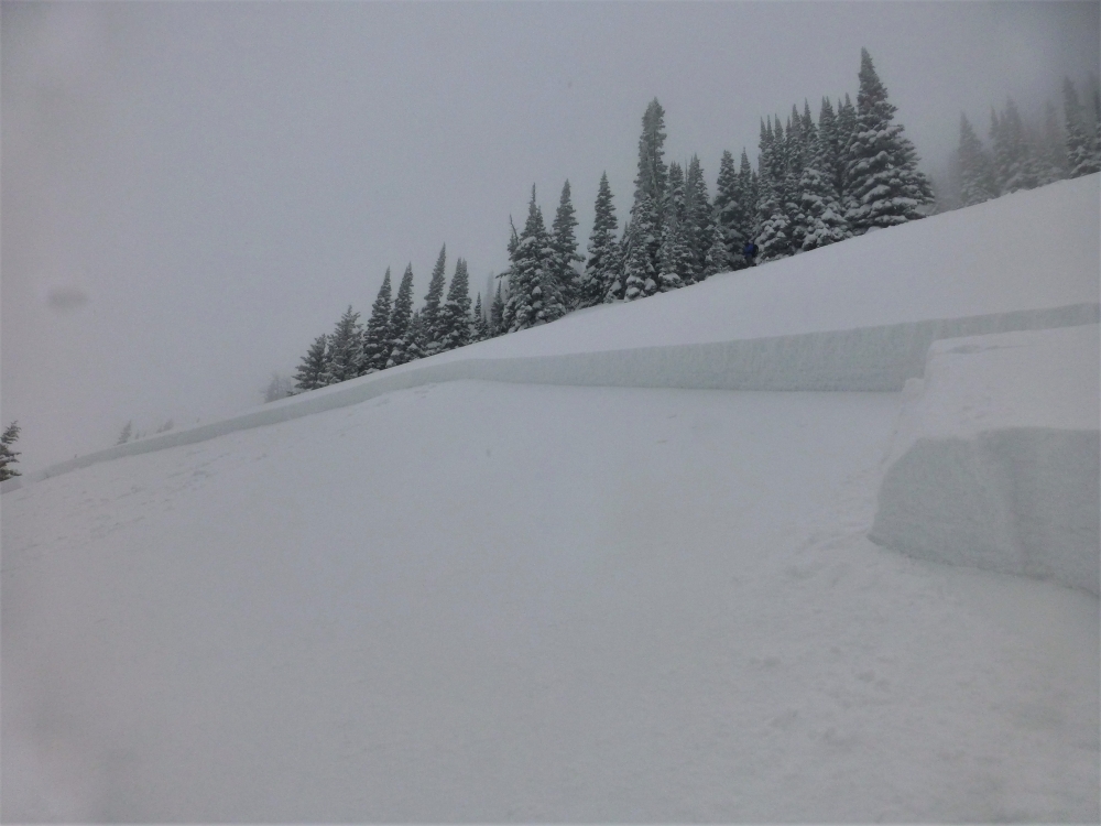
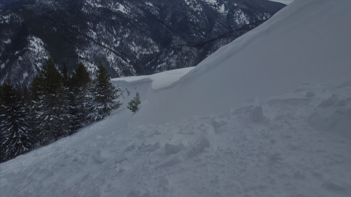
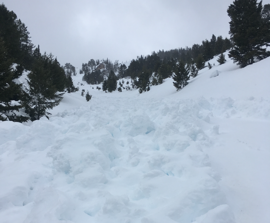
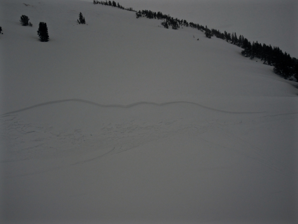
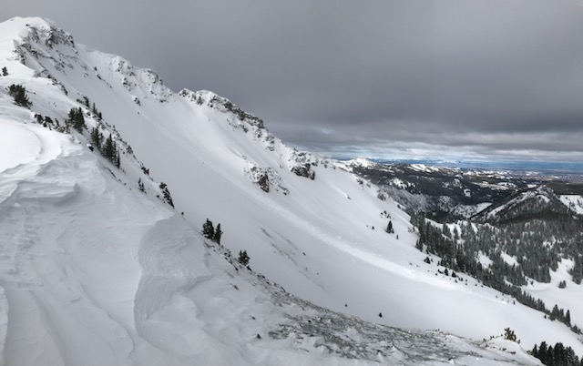
Bridger Range, 2018-04-05 This slide was remotely triggered on the Throne in the northern Bridgers. It failed on an ice crust 18-20" deep on a southeast facing slope. It broke 200 ft. wide and ran 5-600 vertical feet. With more snow and wind in the forecast, it will be best to keep terrain selections conservative in the Bridgers until the new snow has time to adjust. |
|
Cooke City, 2018-04-05 |
|
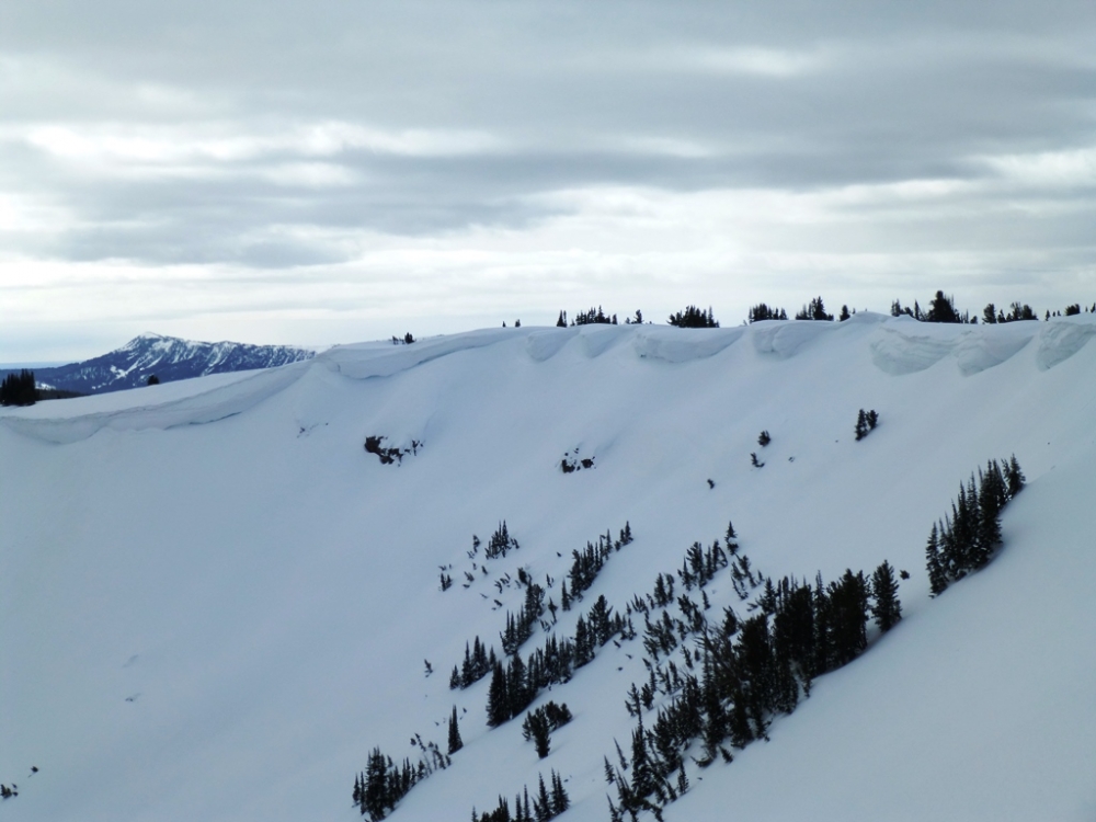
Southern Madison, 2018-04-04 These cornices at the head of Sunlight Basin in Taylor Fork are bigger than big. The snow lip is a solid 30 feet away from the true ridge crest and could easily fool a rider or skier into getting too close to the edge. We are finding similar cornices in all our ranges. As the temperatures warm these overhangs will start to lose strength. Photo: GNFAC |
|
Northern Madison, 2018-04-04 A dog remotely triggered this wind slab in the northern Madison Range. Fresh winds slabs were forming from moderate to strong west-southwest winds. Wind slabs are the primary problem across the advisory area. Photo: Z. Peterson |
|
Bridger Range, 2018-04-02 Photo: N. Truax |
|
Bridger Range, 2018-04-02 Photo: N. Truax |
|
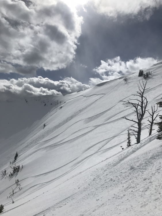
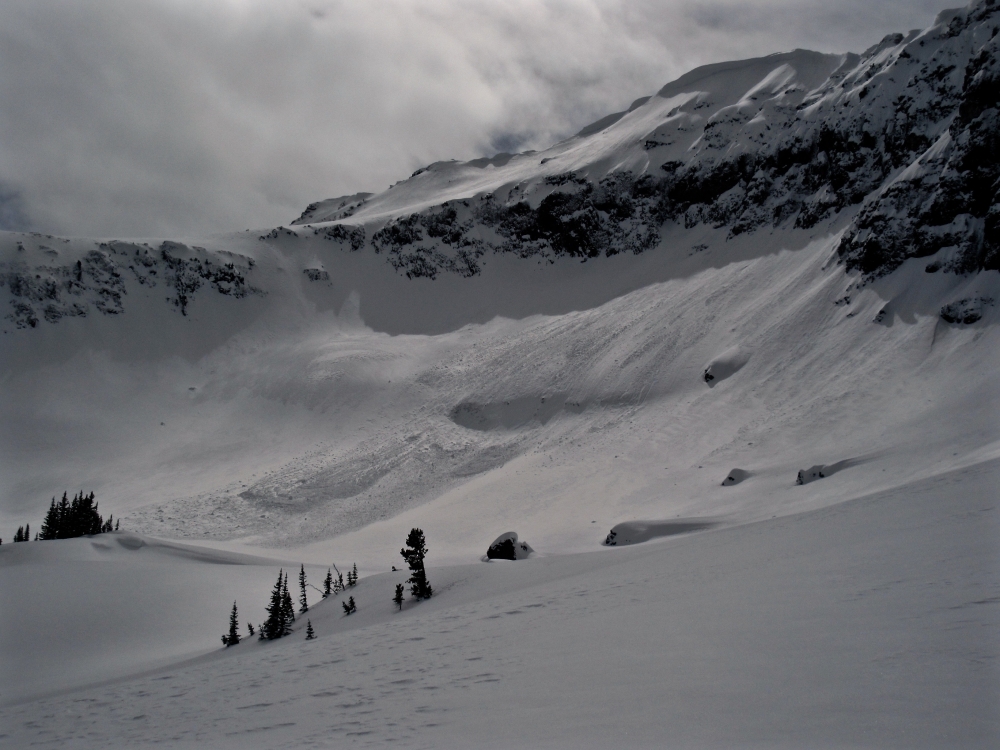
Lionhead Range, 2018-04-01 A skier observed this wet avalanche on a NE aspect near Hebgen Lake. It was estimated to have run about 1000'. Warmer temperatures will be on the horizon, straining already massive cornices, and spring snowfall will continue to build these cornices and sculpt wind slabs near ridge tops. Photo: R. Teat |
|
Cooke City, 2018-03-30 Recent snow was drifted by strong wind into 1-2' deep slabs that were reactive today (3/30). This snowmobile triggered slide is an indicator that fresh slabs are unstable and larger wind loaded slopes should be avoided. Photo: GNFAC |
|
Cooke City, 2018-03-30 This 2' deep natural avalanche was observed on 3/30 and indicates fresh slabs are unstable and larger wind loaded slopes should be avoided for a few days. Photo: GNFAC |
|
Cooke City, 2018-03-30 Recent snow was drifted by strong wind into slabs that were reactive today (3/30). This small test slope is a good indicator that fresh slabs are unstable and larger wind loaded slopes should be avoided. Photo: GNFAC |
|
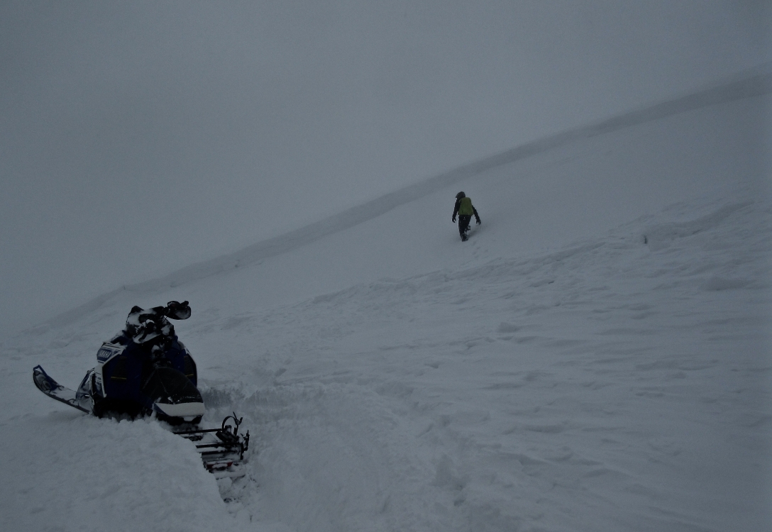
Bridger Range, 2018-03-30 A skier in Argentina Bowl south of Bridger Bowl Ski Resort triggered this wind slab on Wednesday. The likelihood of triggering wind loaded slopes has decreased, but it's still possible. Photo: anonymous |
|
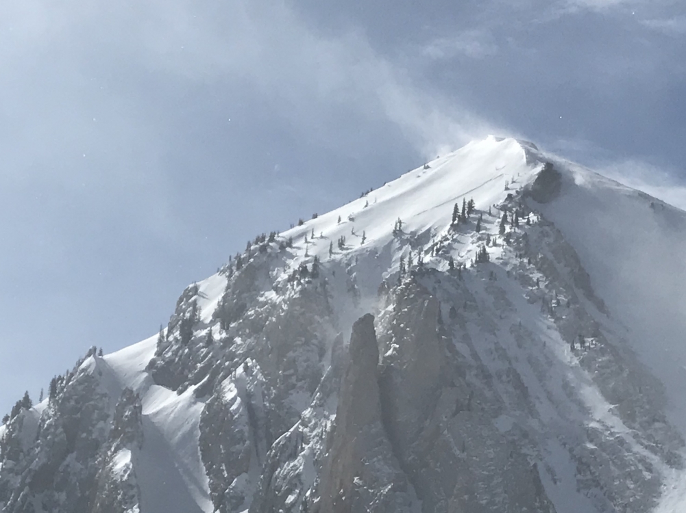
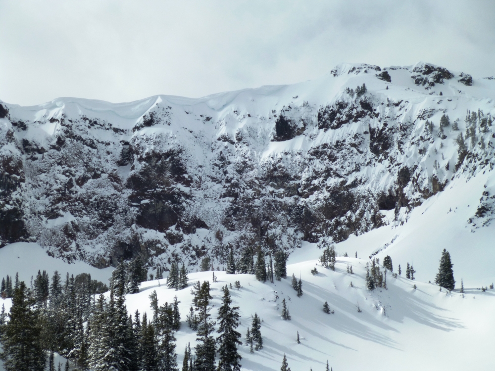
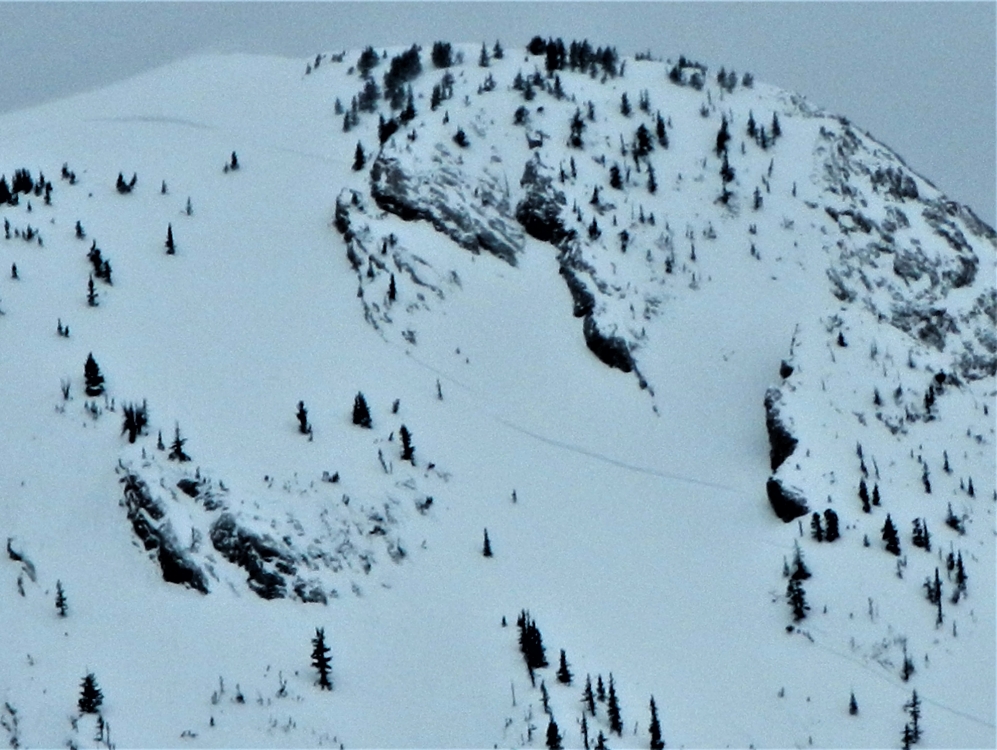
Northern Gallatin, 2018-03-29 These Winnebago-sized cornices are in the Maid of the Mist cirque, but similar beasts are in every one of mountain ranges. Give these a very wide berth as a cornice fall would not be survivable. Photo: GNFAC |
|
Northern Gallatin, 2018-03-29 On the ski up Maid of the Mist in Hyalite we were able to get this small wind fetch to avalanche. It was a nice test slope to see if wind-loaded slopes would move. This was a "positive" result and we stuck to terrain without wind-loading. Photo: GNFAC |
|
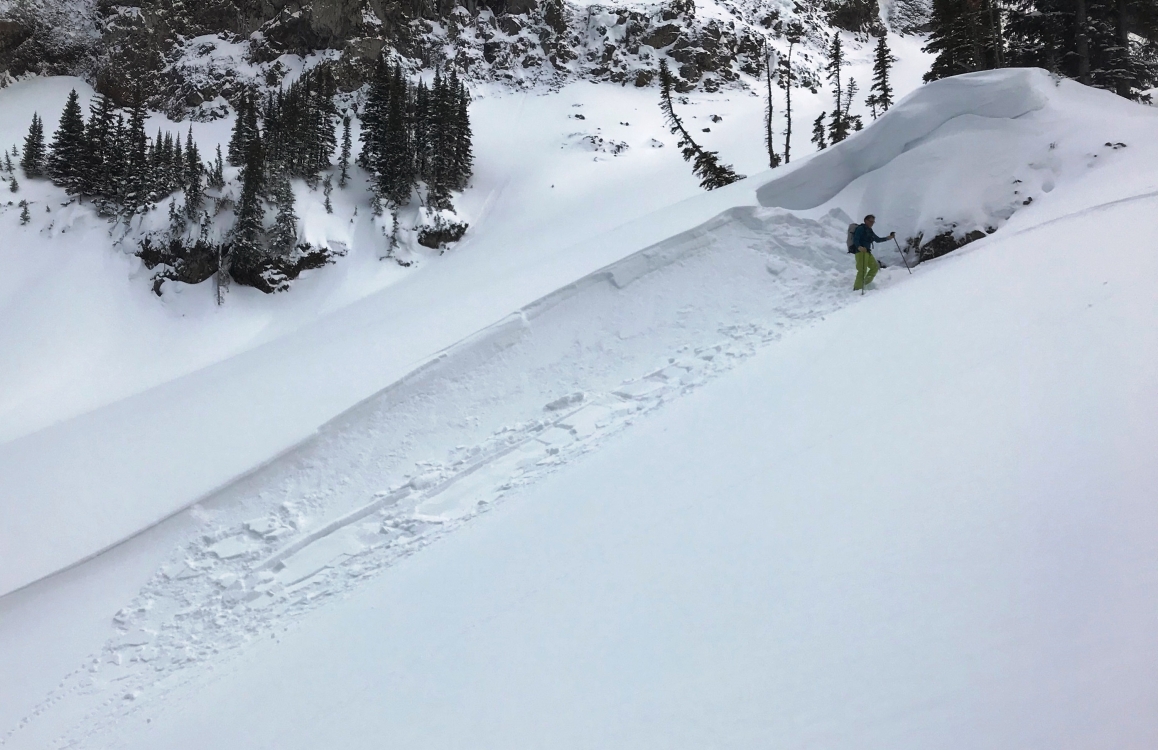
Northern Gallatin, 2018-03-28 A skier found 2-6" thick wind slabs on the east face of Mt. Blackmore up Hyalite, and a cornice break (photo) that ran over 600 vertical feet down the north face. Photo: S. Casper |
|
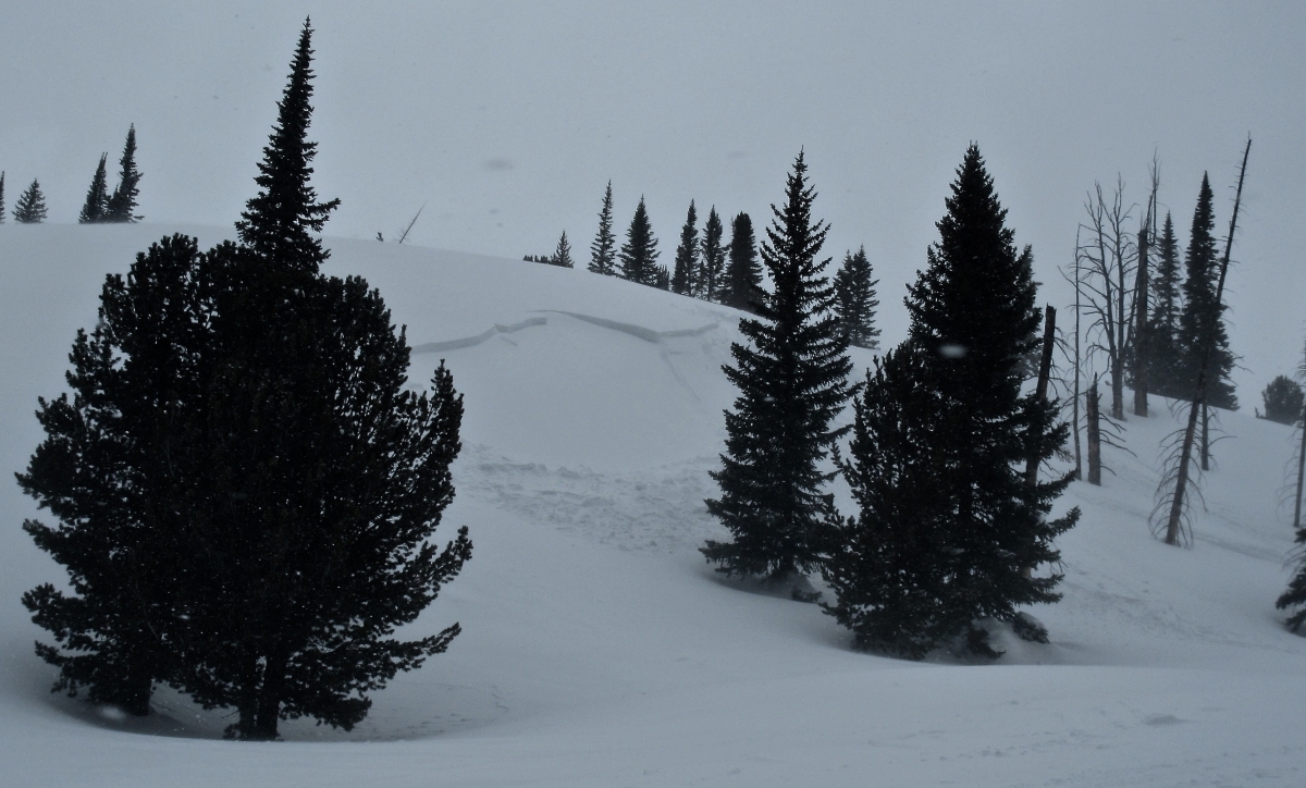
Northern Gallatin, 2018-03-27 Debris from a cornice fall that pulled out a small wind slab on Mt. Bole in Hyalite (3/27). Photo: GNFAC |
|
Bridger Range, 2018-03-27 Strong winds out of the west-southwest loaded slopes and caused natural avalanches in the northern Bridgers. Strong winds will continue to produce unstable conditions in the Bridger Range. Photo: GNFAC |