Photos
|
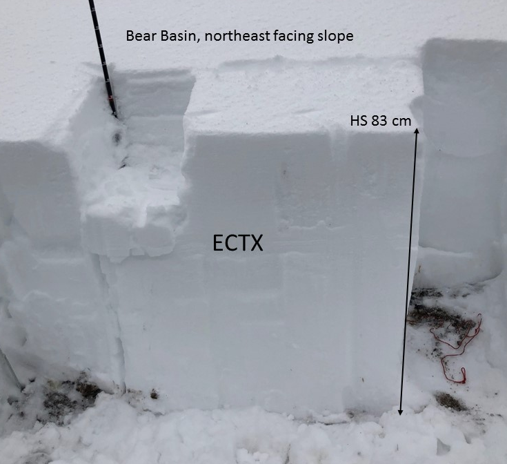
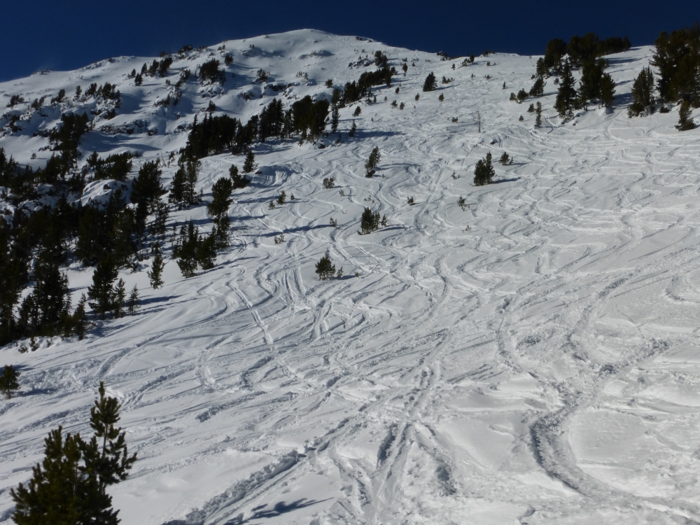
Northern Madison, 2018-11-29 In Beehive and Bear Basin, the snowpack is generally strong and stable on east and north facing slopes below treeline. Photo: GNFAC |
|
Northern Gallatin, 2018-11-27 A skier triggered this small wind slab along a wind loaded ridge in Hyalite. Although small, it's an obvious clue wind loaded slopes are unstable. Even small slides can have severe consequences if triggered in steep-exposed terrain or on slopes with terrain traps such as gullies, trees or rock bands. Photo: G. Antonioli |
|
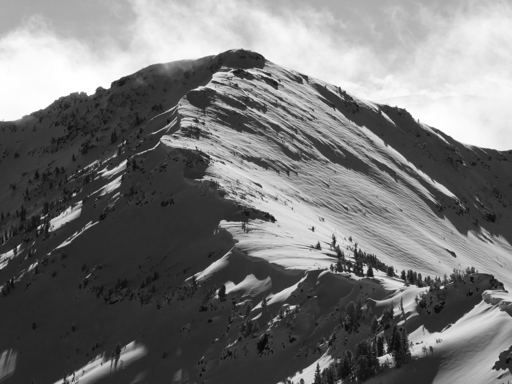
Northern Madison, 2018-11-27 Slopes loaded by west-southwest winds are the main avalanche concern. Cornices and natural avalanches are bull's eye information slopes are wind loaded and unstable. Watch for and carefully assess all slopes with wind drifted snow. This photo was taken in the northern Madison Range. Photo B VandenBos |
|
Lionhead Range, 2018-11-27 Yesterday at Lionhead Ridge near West Yellowstone we found a shallow and weak snowpack. A foot of weak, sugary snow on the ground will create unstable conditions where it is buried by thick drifts of snow, and when the area gets more snow later this week. Photo: GNFAC |
|
Bridger Range, 2018-11-26 This avalanche was triggered by explosives at Bridger Bowl. It illustrates the depth of the wind slabs to be on the lookout for. Photo: BBSP |
|
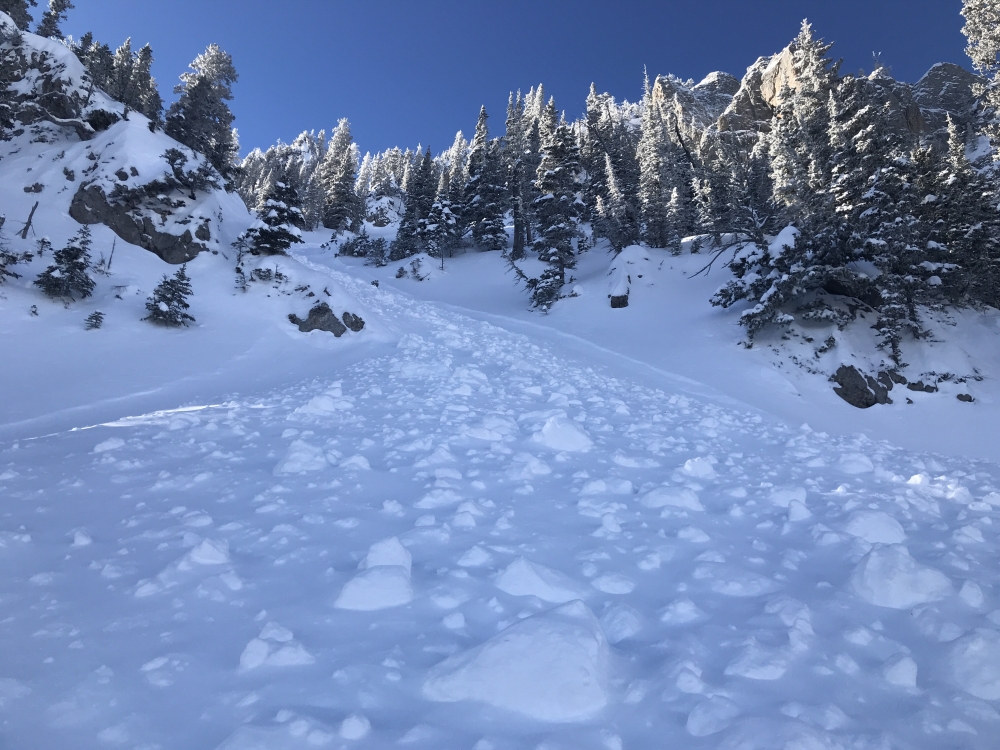
Bridger Range, 2018-11-26 From an email: "We did observe a natural slide at around 8300ft that failed on the high pressure facets that formed prior to these last two shots of snow. It appears that it was triggered by a slough from steeper, rocky terrain above, the crown was about 14 inches deep and around 50ft wide, in complex rocky terrain. The debris pile was approx. 200cm deep, plenty deep to bury a person." Photo: A. Pohl Link to Avalanche Details |
|
Northern Gallatin, 2018-11-26 The new snow and wind formed wind slabs on Mt. Blackmore that were cracking. Photo: B. VandenBos |
|
Northern Gallatin, 2018-11-26 Winds blew the new snow around. Ripples on the snow surface are evidence of wind slabs. Photo: B. VandenBos |
|
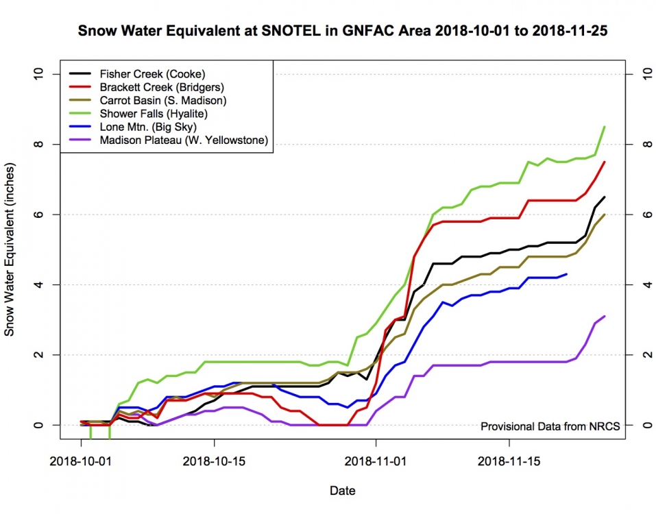
, 2018-11-25 Snow water equivalent at SNOTEL stations in the GNFAC advisory areas for the 18-19 season to date. Weak layers formed on the surface of the snowpack during the dry weather (flat section of lines), then they were buried by the recent 10-14" of snow (steep increase at end of graph). Image: GNFAC |
|
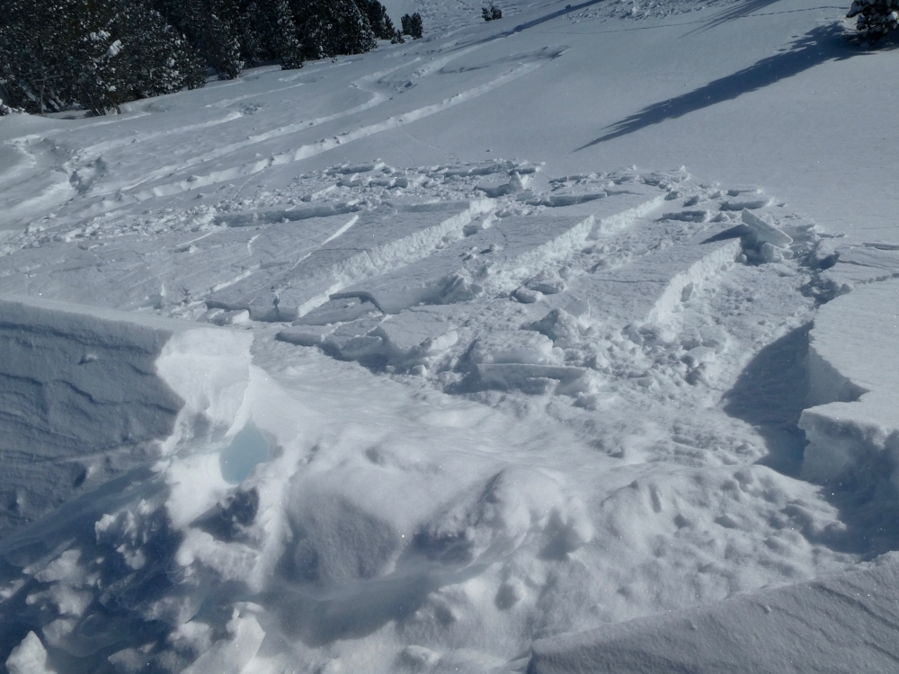
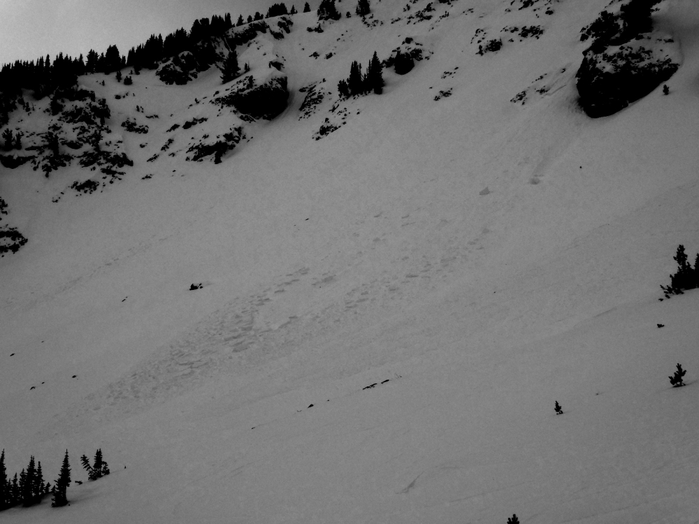
Northern Gallatin, 2018-11-25 Skiers saw this natural avalanche near Mt. Blackmore on Saturday (11/24). Almost a foot of new snow fell and buried weak snow that formed on the surface of the snowpack during cold and dry weather. Be cautious of avalanches breaking at this weak interface for a few days and with the next storm. Photo: M. Staples Link to Avalanche Details |
|
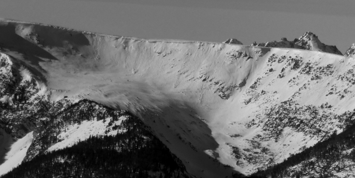
Northern Gallatin, 2018-11-23 Wind is moving snow creating wind slabs on the east face of Blackmore up Hyalite. This avalanche was seen on Thanksgiving. More snow and wind will create more wind drifting and more avalanches. Photo: B. VandenBos Link to Avalanche Details |
|
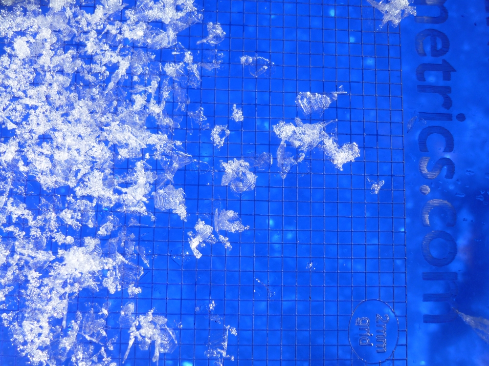
Cooke City, 2018-11-21 A layer of surface hoar is on many slopes in Cooke City. These feathery crystals can be unstable when buried. We will be keeping an eye on them with the approaching storm. Photo: GNFAC |
|
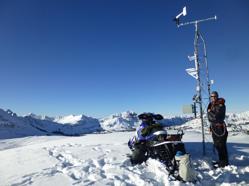
Cooke City, 2018-11-21 Alex Marienthal stands by the Lulu Pass weather station outside Cooke City. We put it up today and you can view the hourly data HERE.Photo: GNFAC |
|
Cooke City, 2018-11-21 The surface snow is feathery crystals of surface hoar and small facets. These crystals are weak and will become unstable once buried. Today's snow surface may be tomorrow's problem. Photo: GNFAC |
|
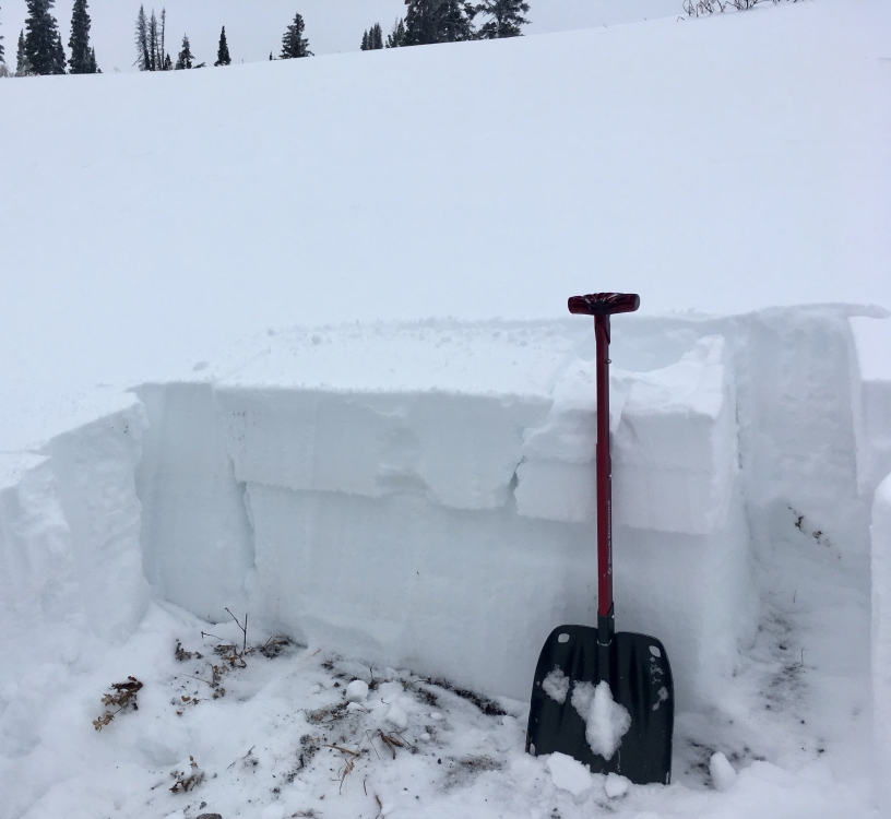
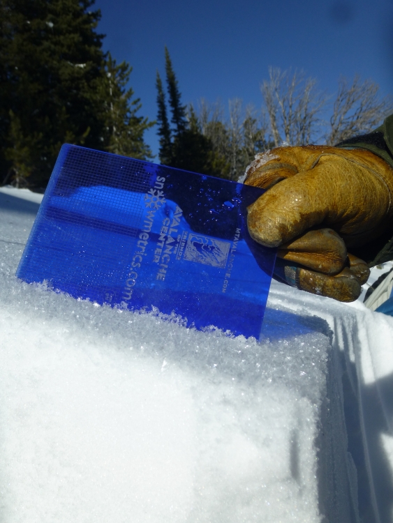
Northern Gallatin, 2018-11-21 Plenty of traffic on Blackmore since the last storm. No signs of instability for now, but we did find near-surface facets and surface hoar on some slopes. This will be something to watch out for with the next storm, and they should be easy to identify in snow pits and stability tests. Photo: GNFAC |

|
Northern Madison, 2018-11-20 From BSSP: "There has been some significant surface hoar observed at treeline and below. It is not melting and light to non-existent winds are allowing it to persist for now. The attached pic is some of the biggest SH observed." Photo: BSSP |
|
Northern Gallatin, 2018-11-19 Winds during the snow storm on Friday rippled the snow surface up Hyalite. This is a clue that the snow drifted and loaded high elevation slopes. Photo: G. Antonioli |
|
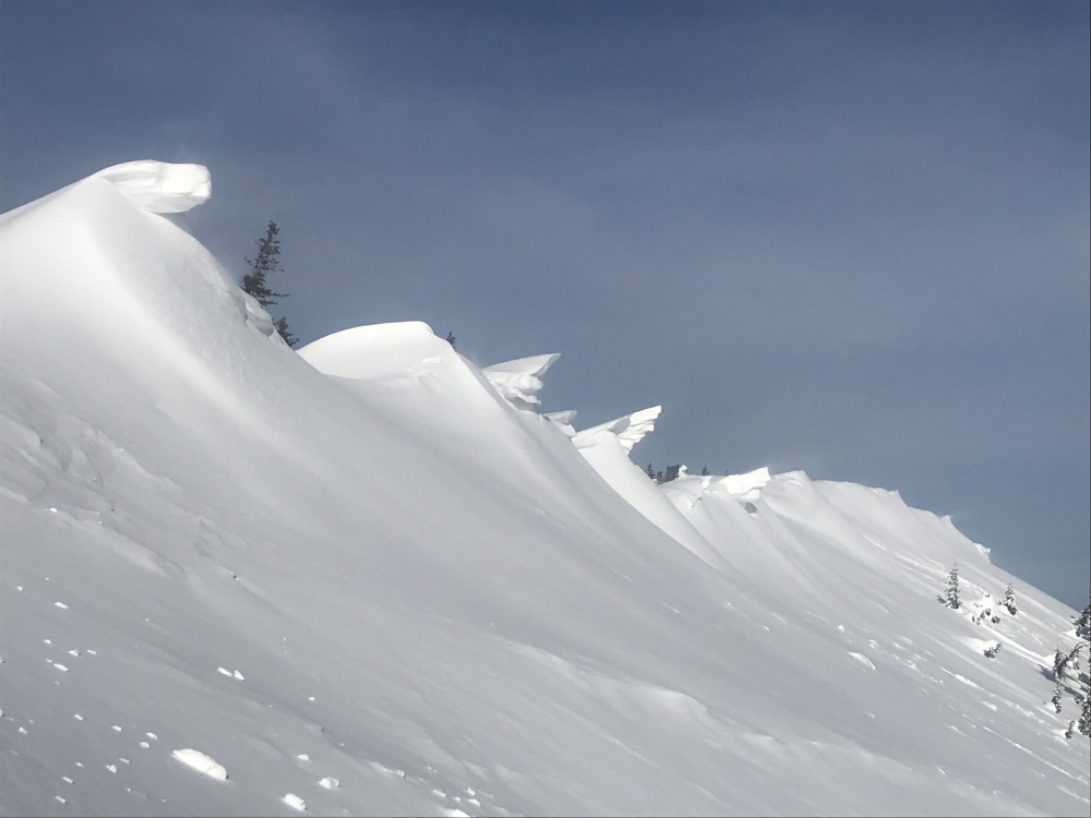
Bridger Range, 2018-11-19 Winds over the weekend are growing the Bridger Range's cornices. Photo: T. Hoefler |