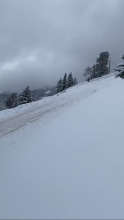
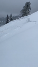
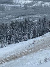
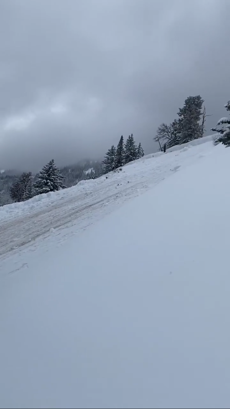
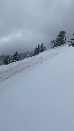
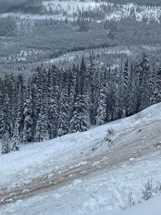
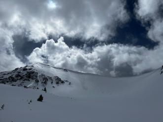
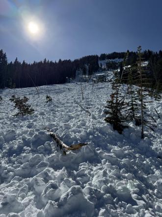
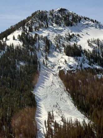
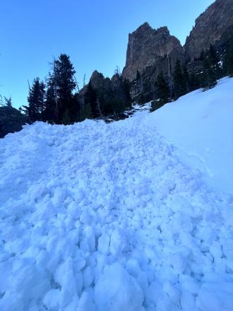
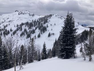
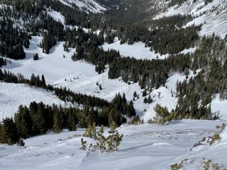
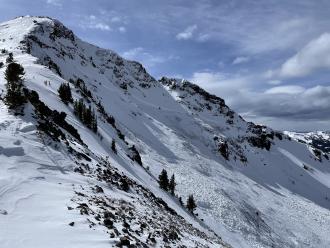
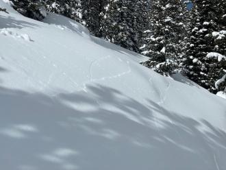
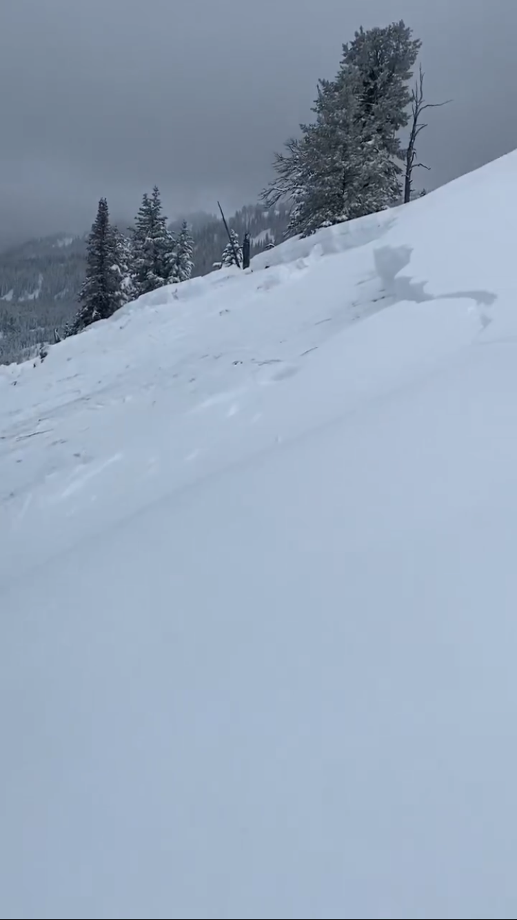
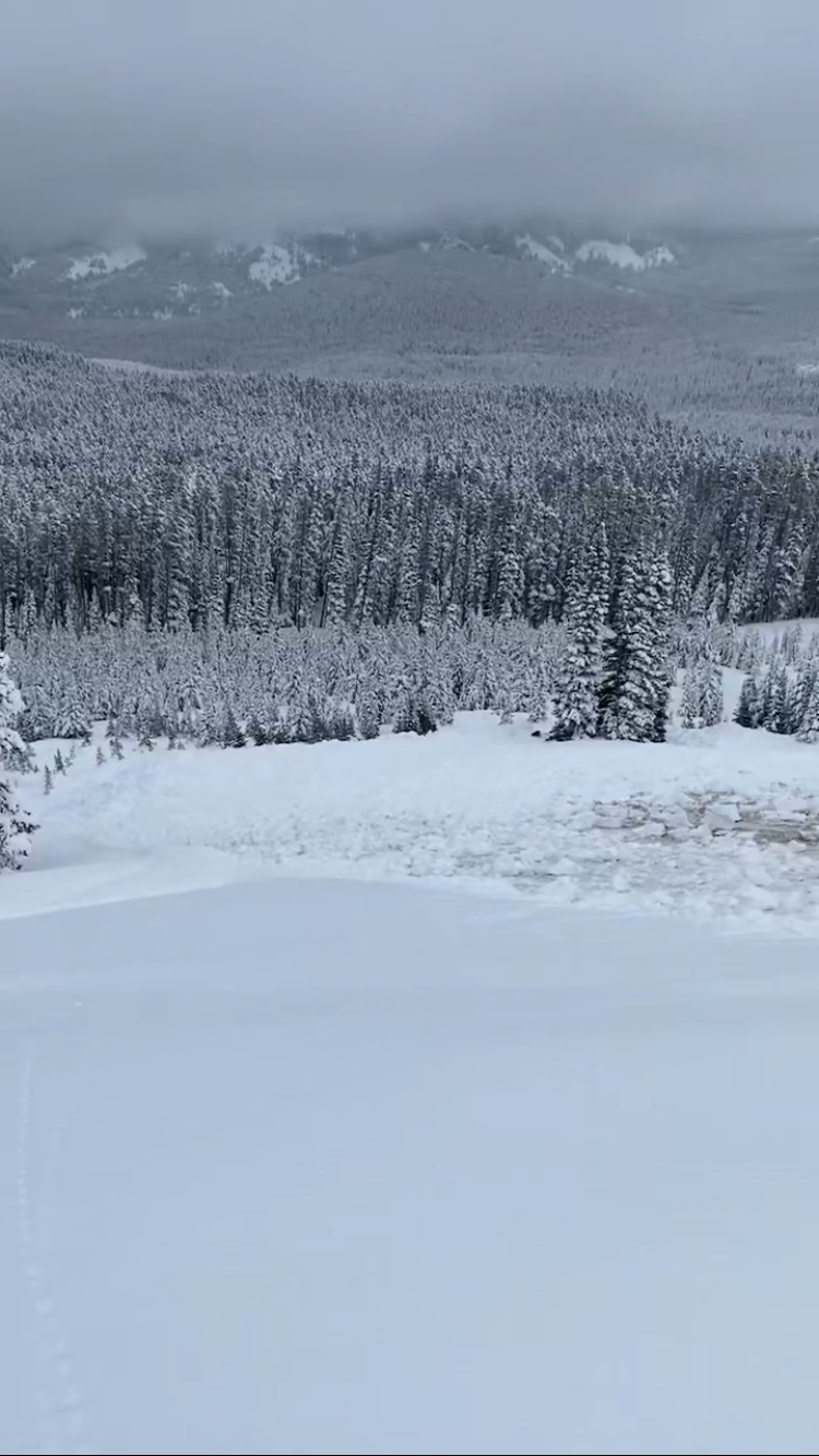
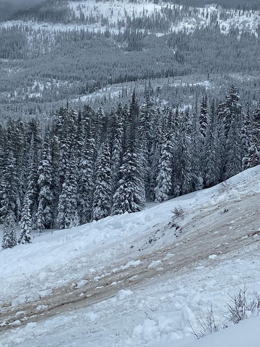
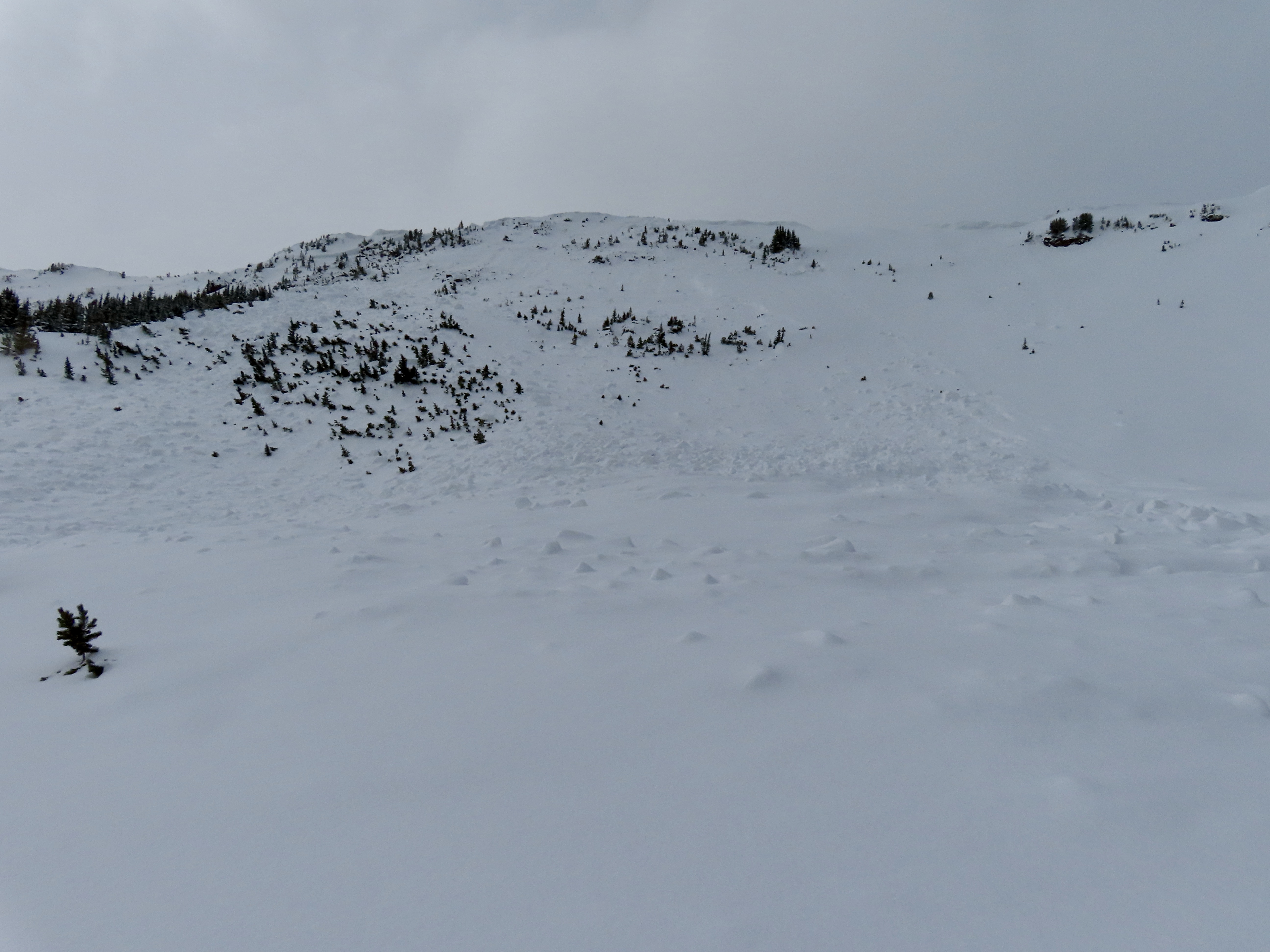
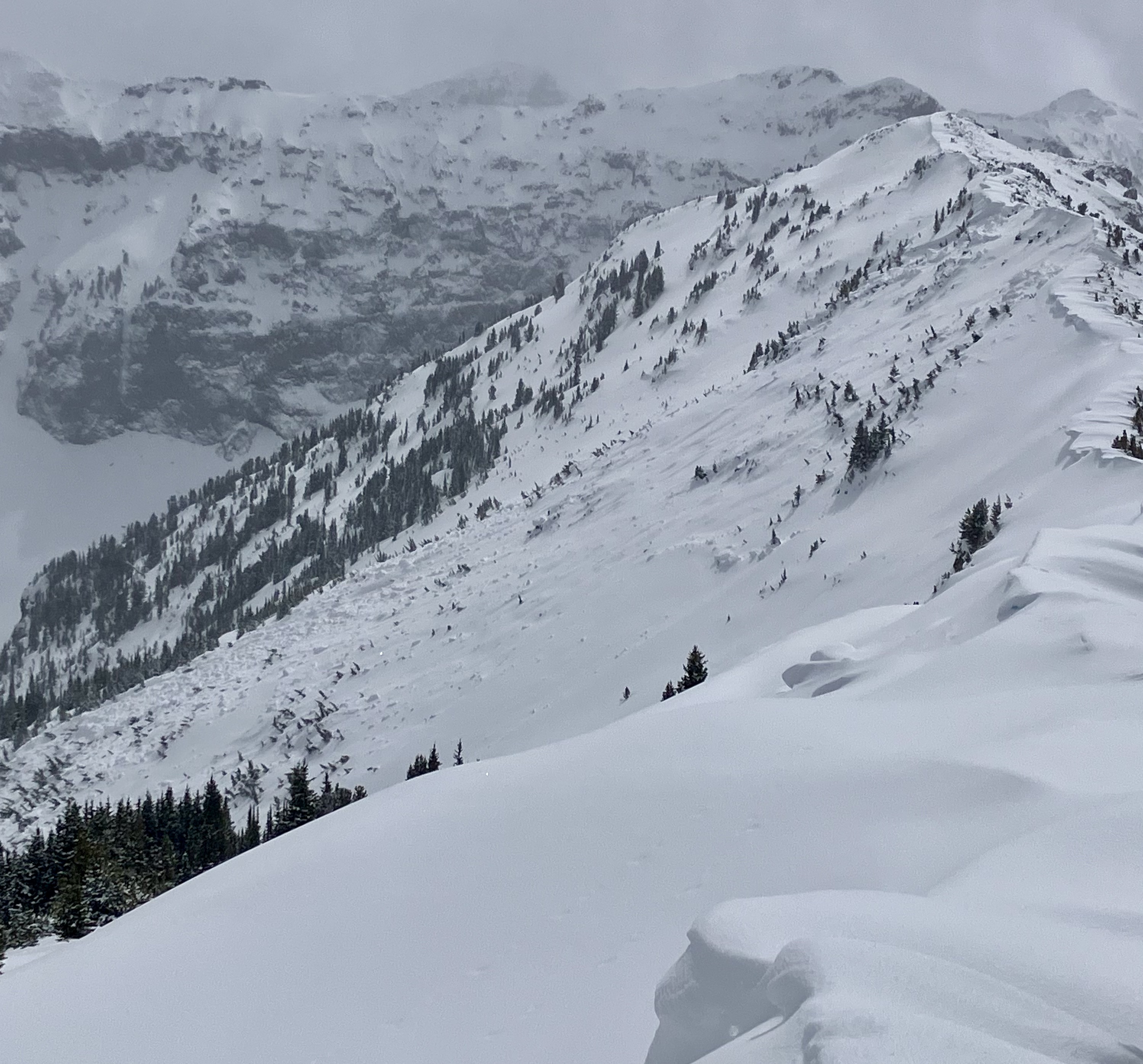
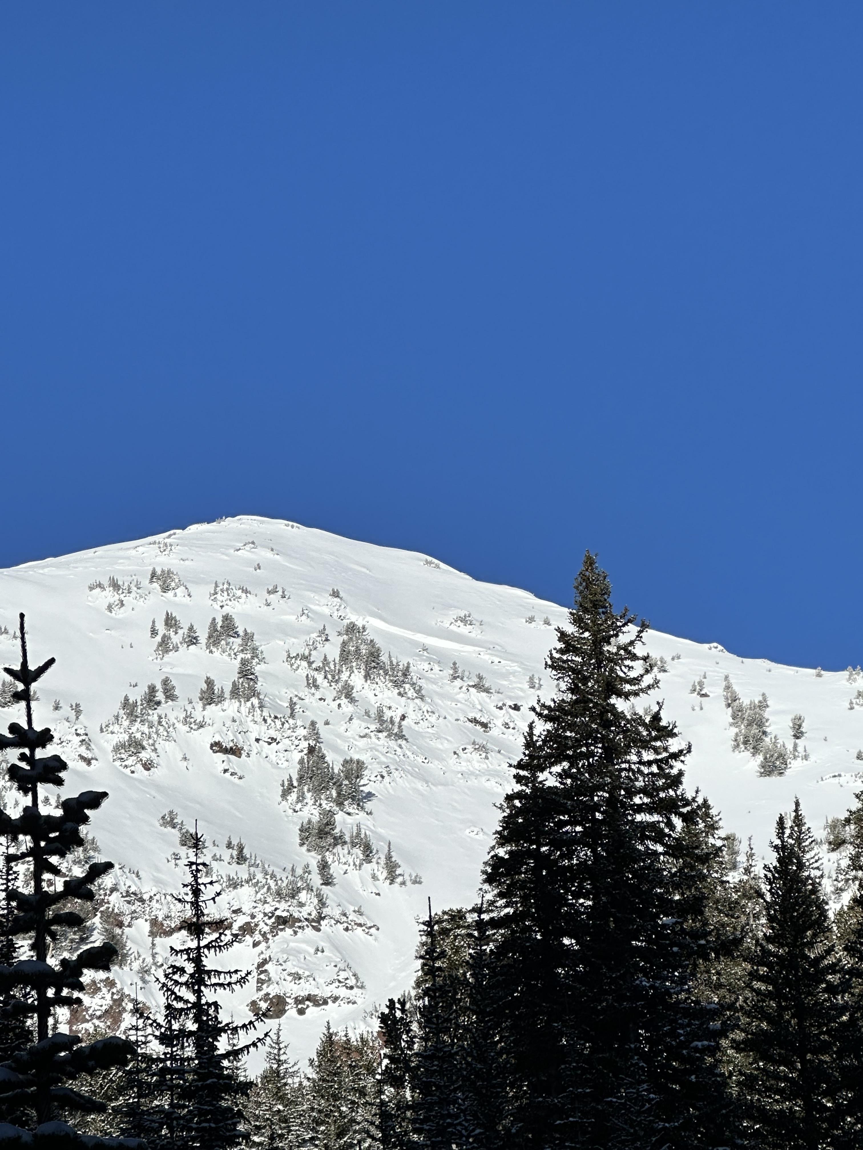
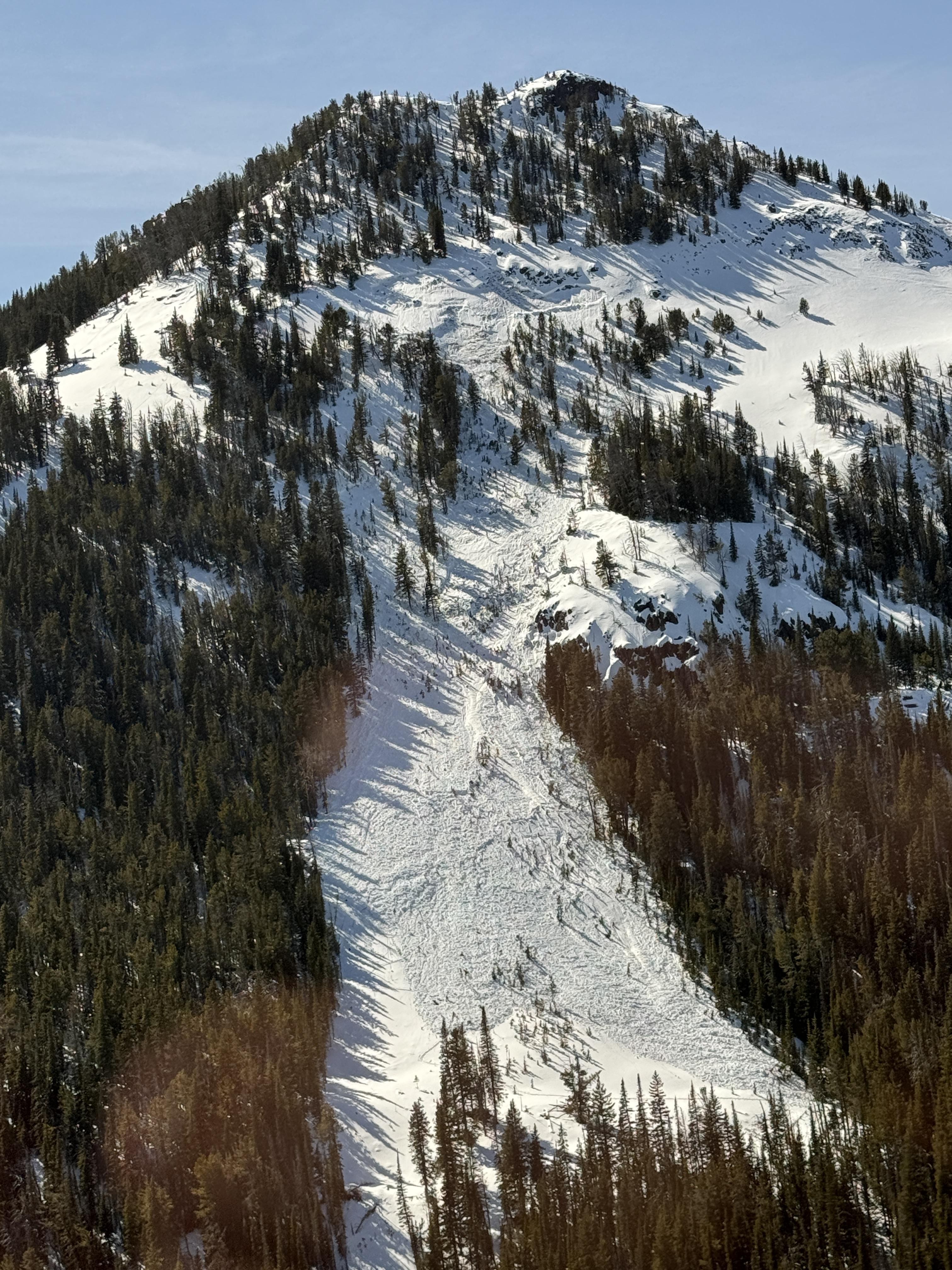
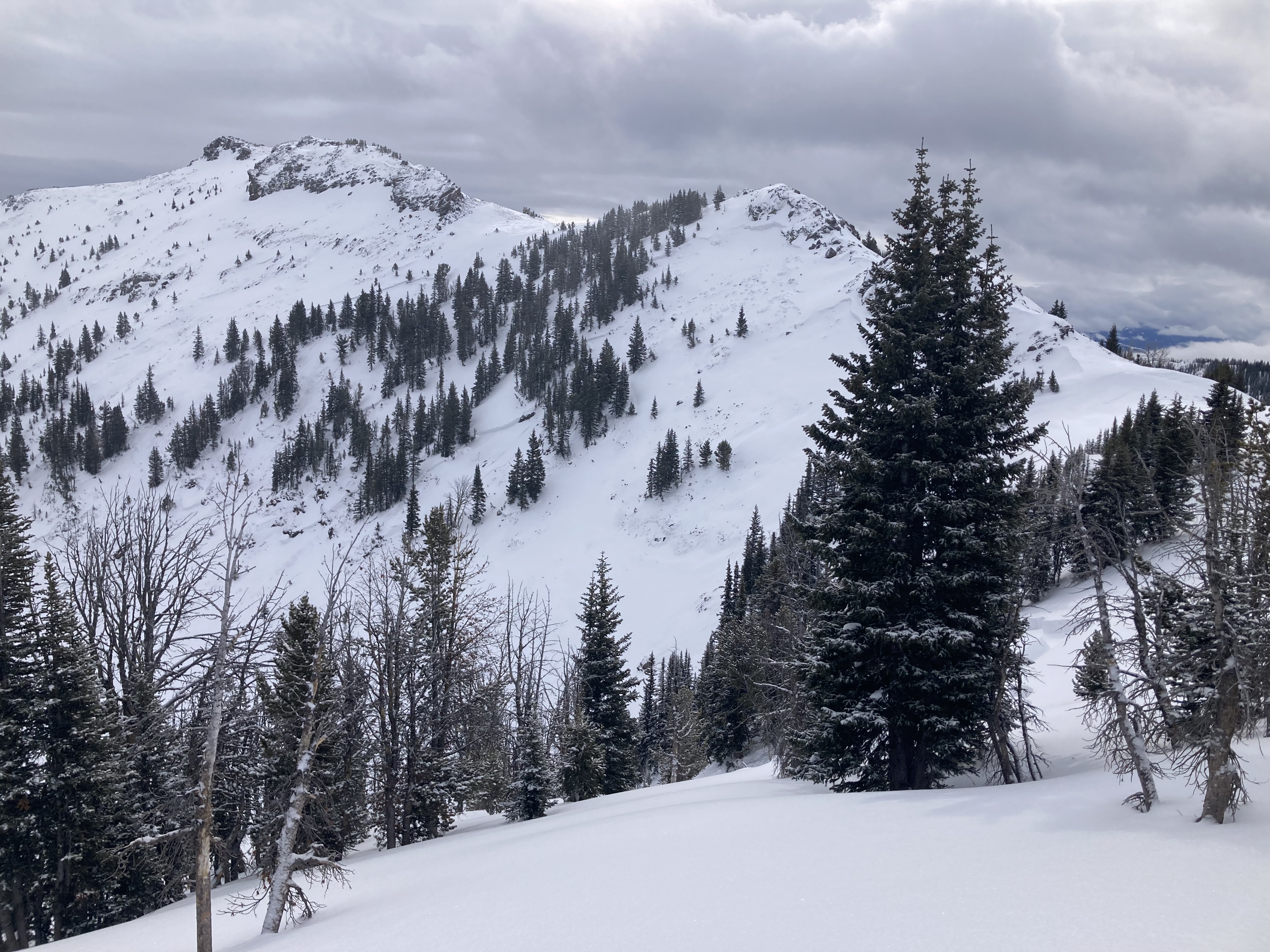
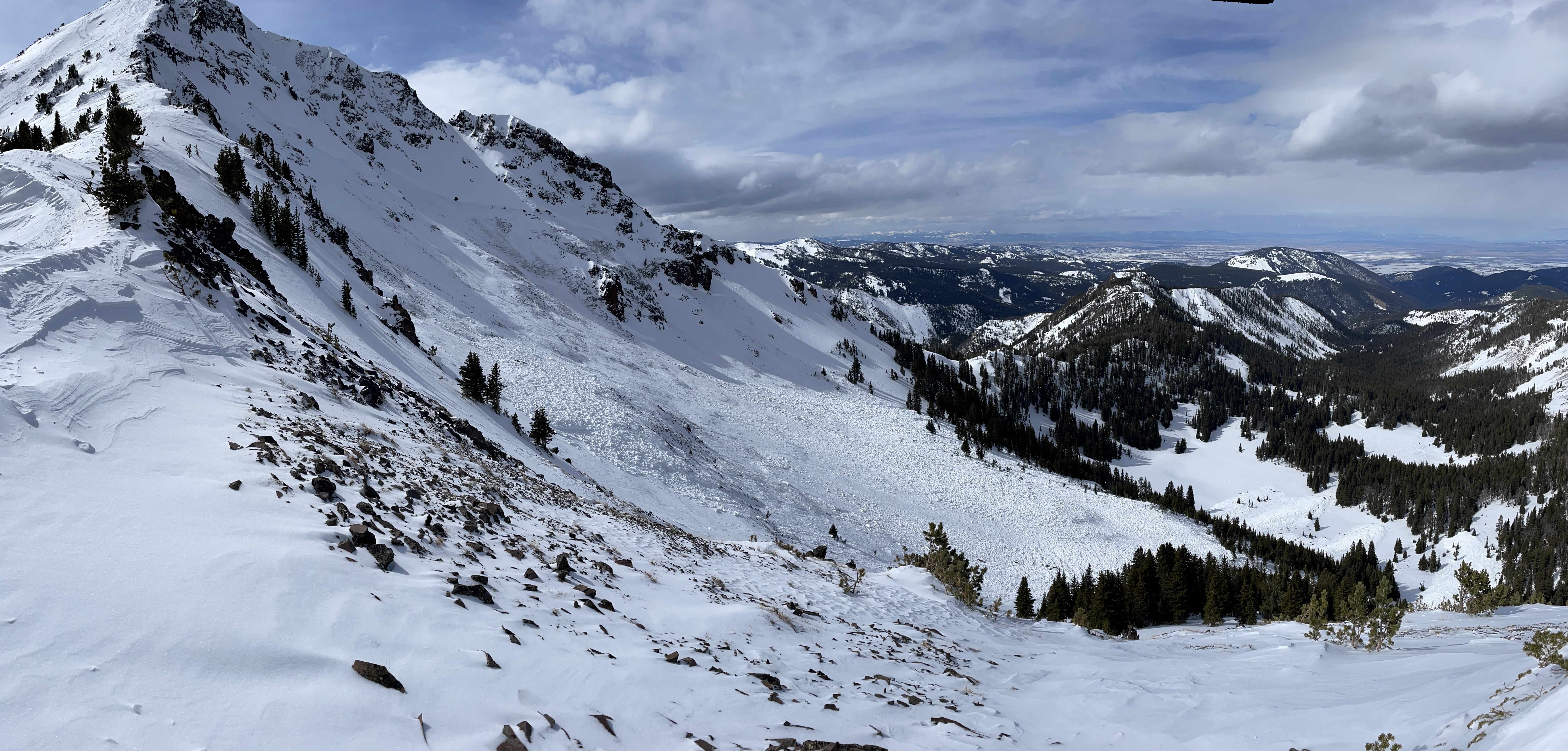
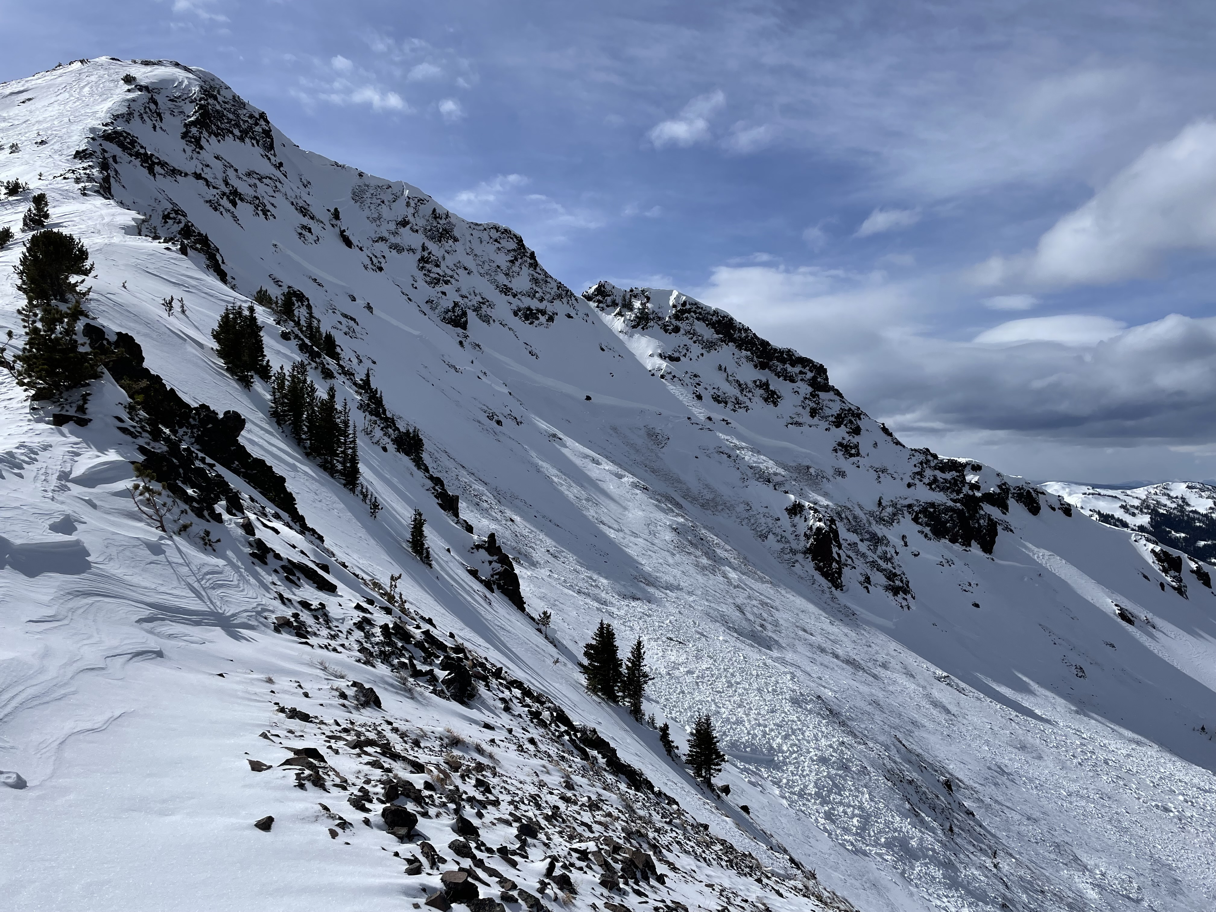
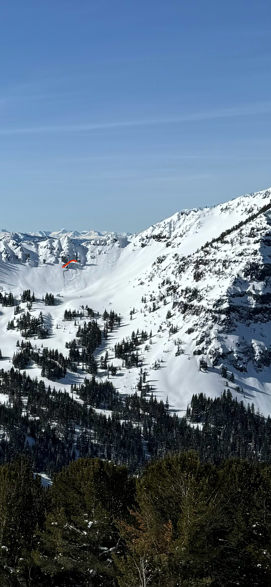
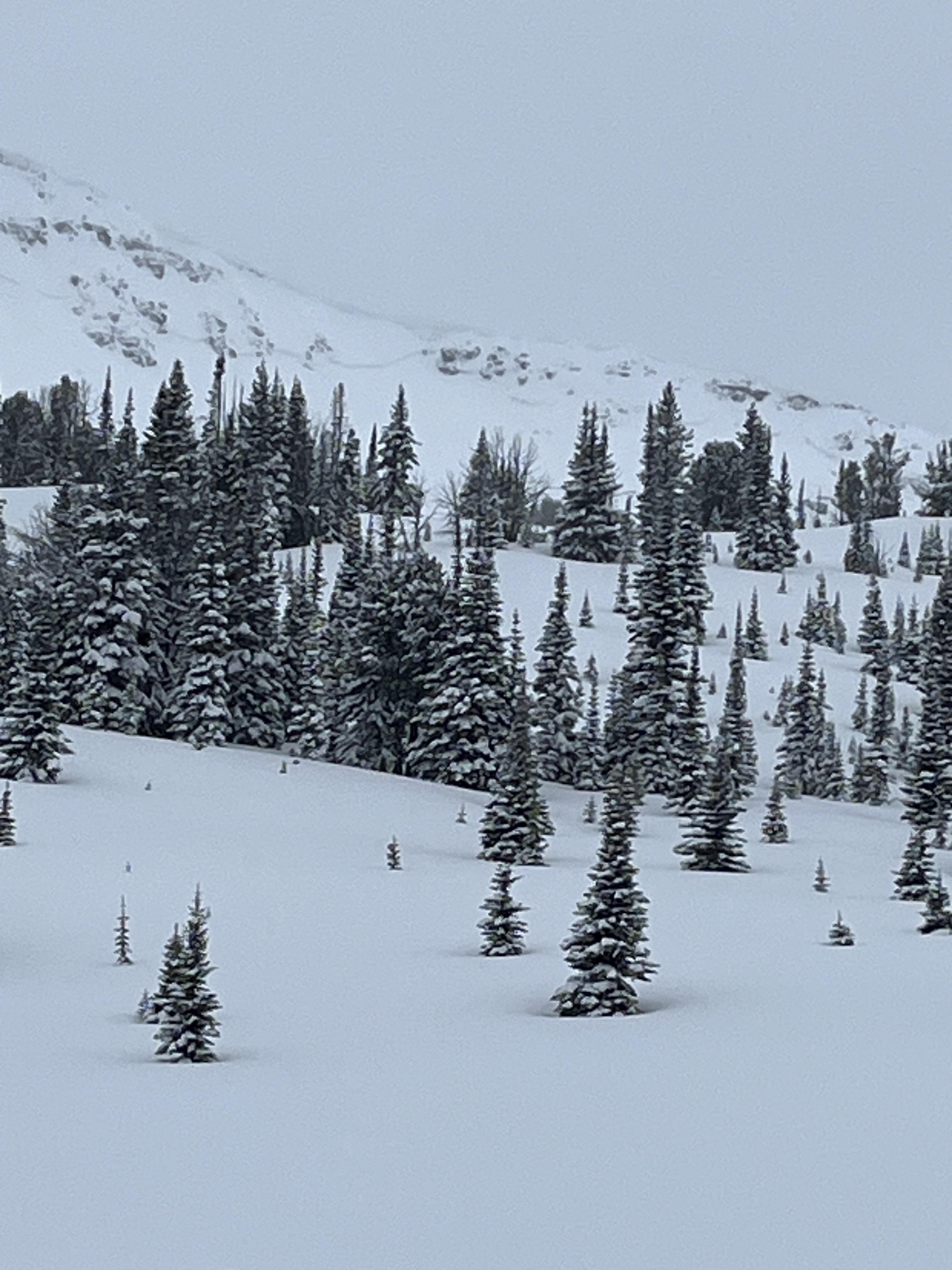
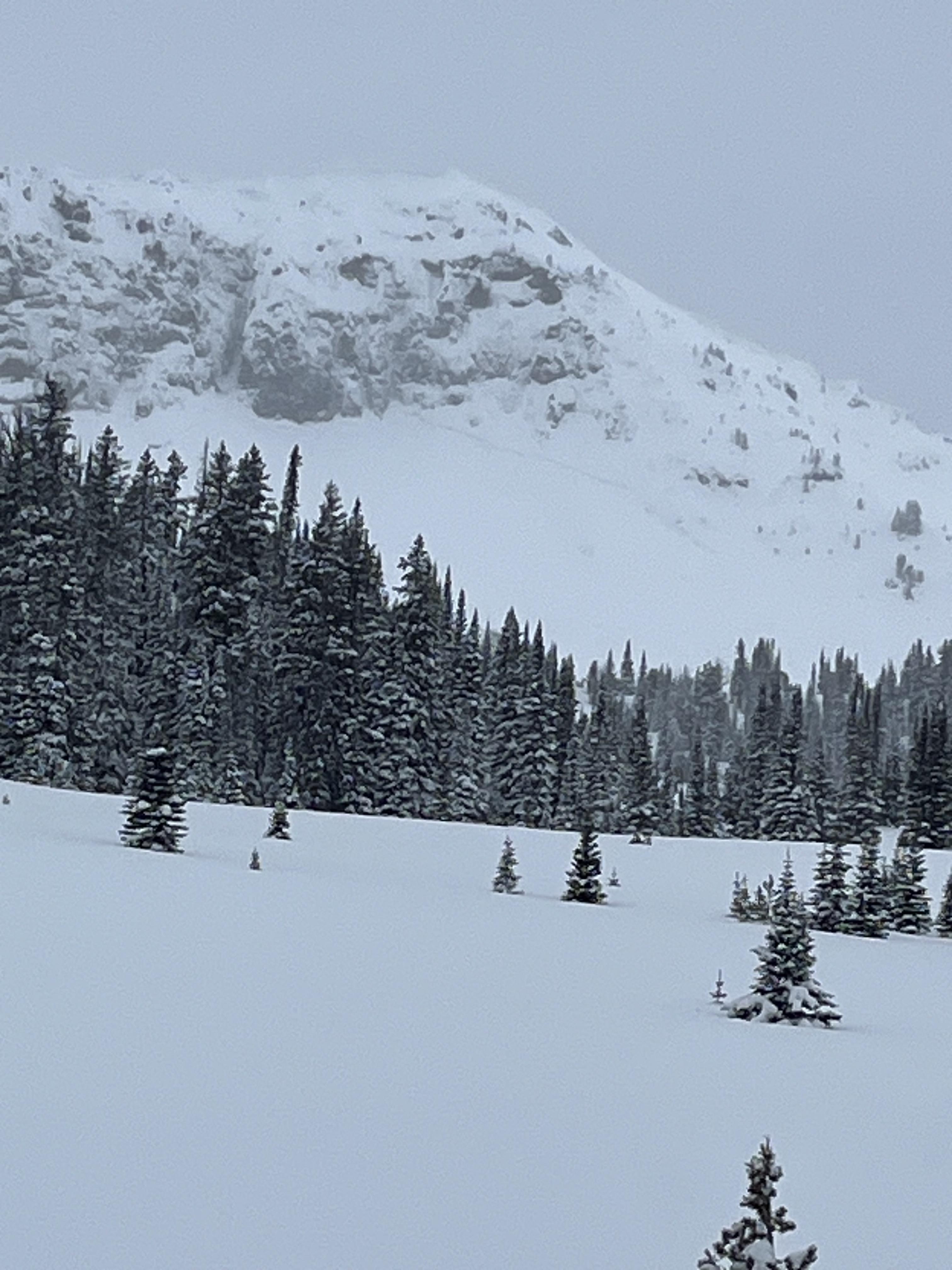
From IG message 4/17/24: "Remote trigger up little bear today. Went to the groundish."
Trip Planning for Northern Gallatin

Primary Problem: None
Bottom Line: Spring weather can be highly variable and create a mix of avalanche problems to watch out for. Snow conditions and snow stability can change drastically from day to day or hour to hour. Anticipate rapid change and plan accordingly. Plenty of snowfall over the winter with more spring snow to come makes avalanches possible into summer.Past 5 Days
Fri Apr 19

None
None
Mon Apr 22
None
None
Fri Apr 26
None
None
Mon Apr 29
None
None
Thu May 2
None
None
Relevant Avalanche Activity
Northern Gallatin
NORTHERN GALLATIN RANGE
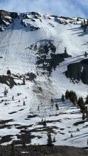
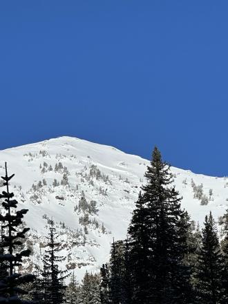
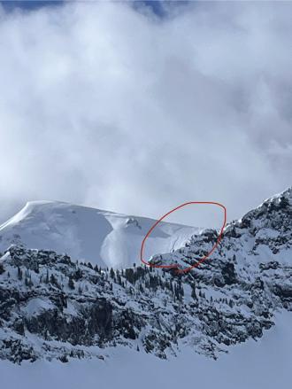
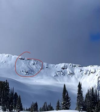
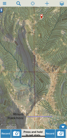
Remote trigger in little bear
NORTHERN GALLATIN RANGE
WS-AMr-R3-D2-O
Elevation: 8,100
Aspect: NE
Coordinates: 45.4802, -111.1320
Caught: 0 ; Buried: 0
More Avalanche Details
WS-AMr-R3-D2-O
Elevation: 8,100
Aspect: NE
Coordinates: 45.4802, -111.1320
Caught: 0 ; Buried: 0
From IG message 4/17/24: "Remote trigger up little bear today. Went to the groundish."... "It was definitely wet below the new snow. It was north east facing at 8100 ft"
More Avalanche Details
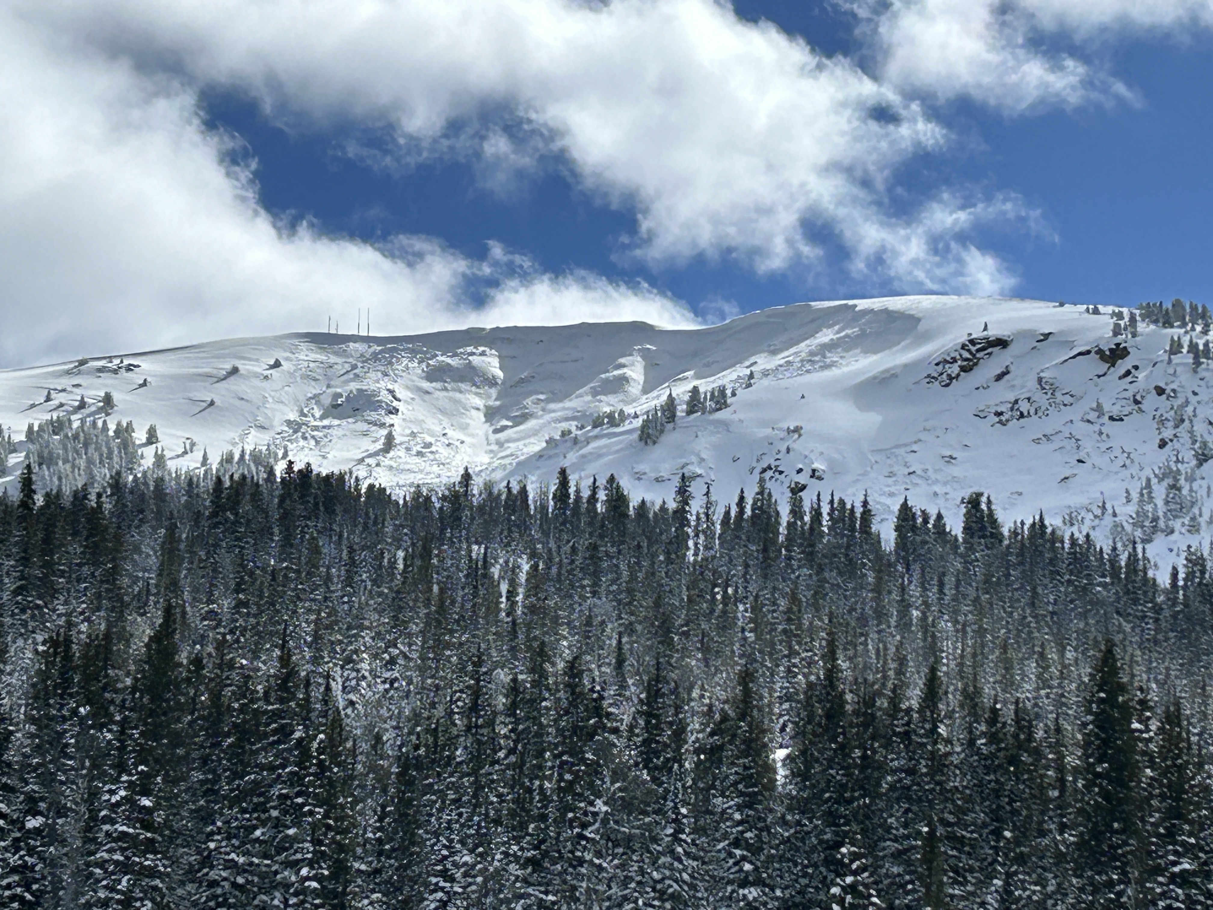
Southern Madison
Quake Lake
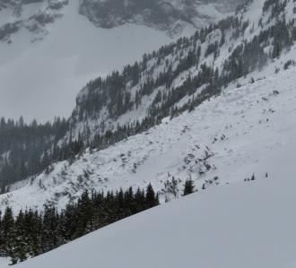
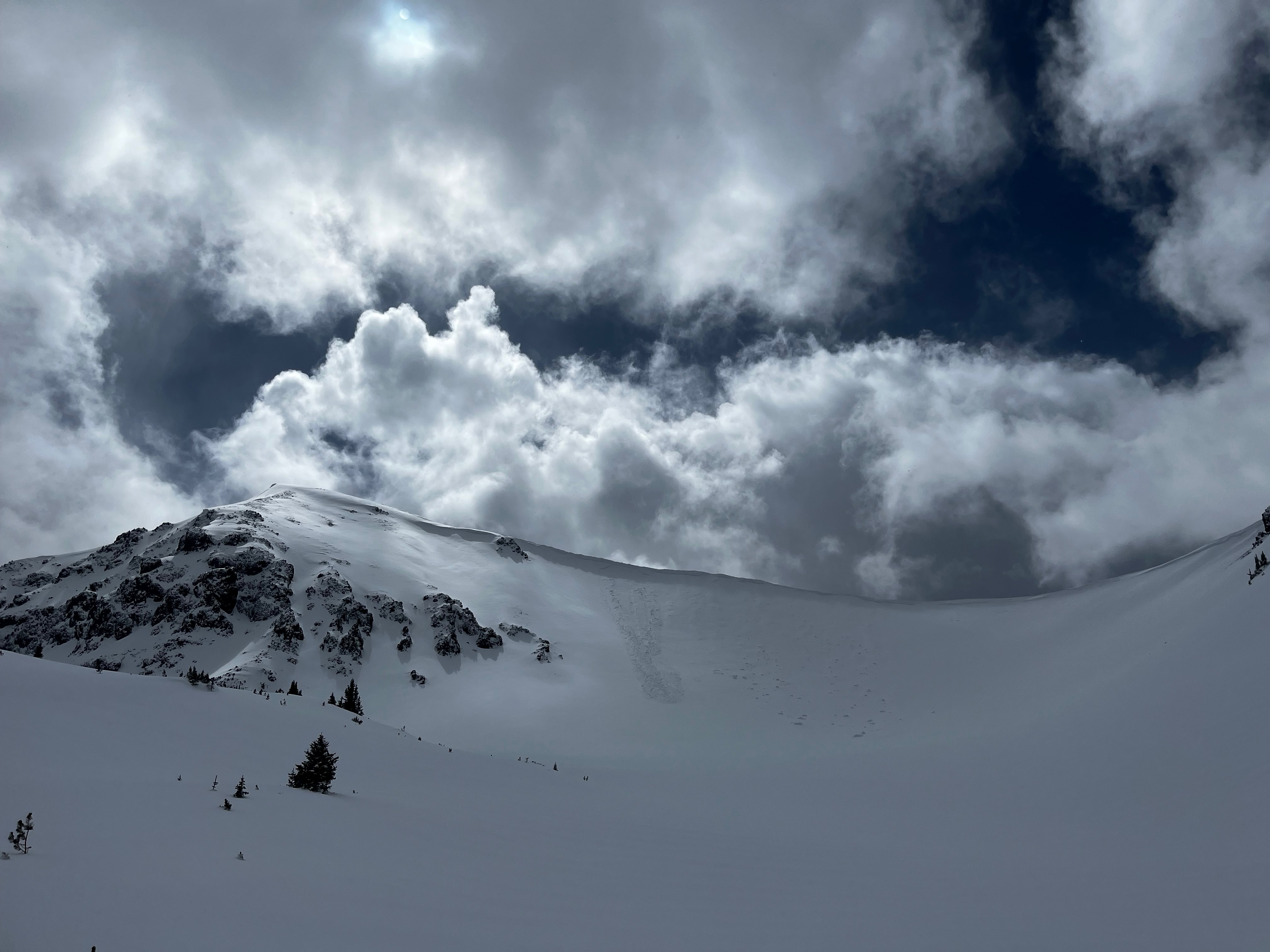
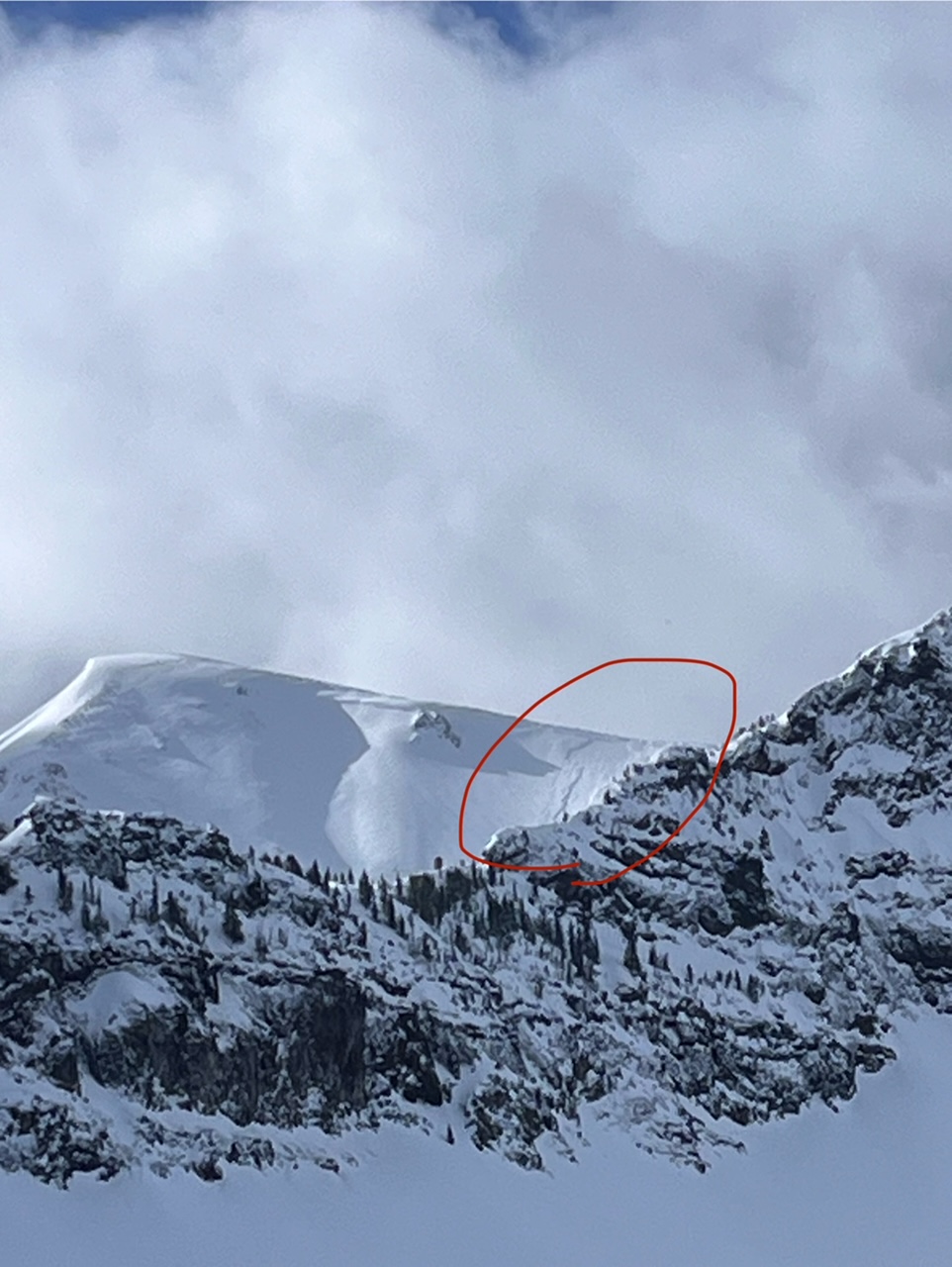
Wet Slab Avalanche Above Quake Lake
Quake Lake
WS-N-R2-D2-G
Coordinates: 44.8524, -111.3920
Caught: 0 ; Buried: 0
More Avalanche Details
WS-N-R2-D2-G
Coordinates: 44.8524, -111.3920
Caught: 0 ; Buried: 0
From IG: Wet slide to the ground above Quake Lake.
More Avalanche Details
Relevant Photos
Displaying 1 - 40
-
-

From IG message 4/17/24: "Remote trigger up little bear today. Went to the groundish."
-
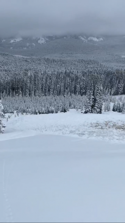
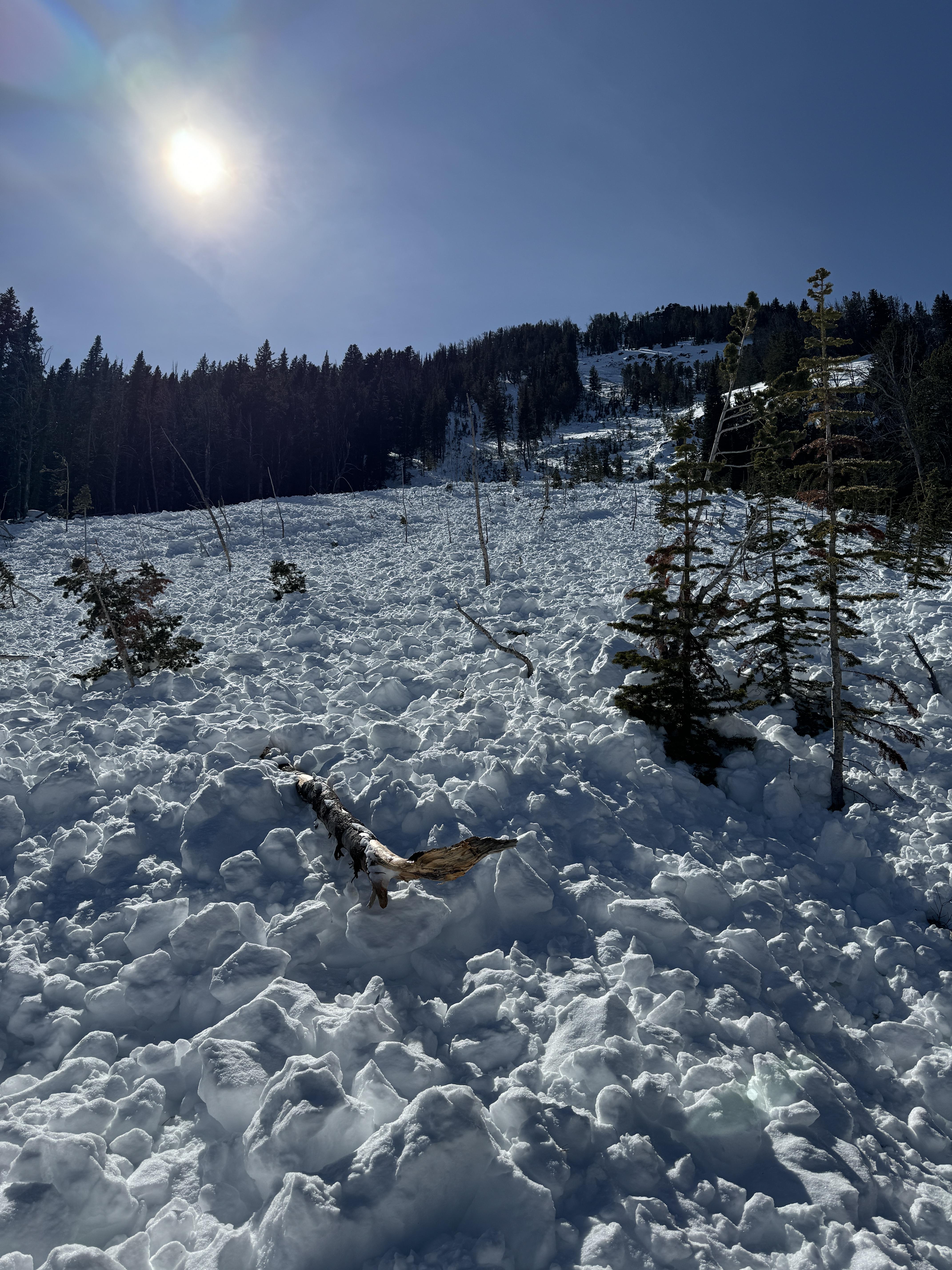
From IG message 4/17/24: "Remote trigger up little bear today. Went to the groundish."
-
From IG message 4/17/24: "Remote trigger up little bear today. Went to the groundish."
-

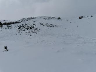
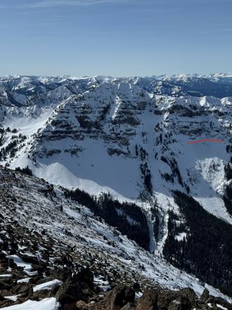
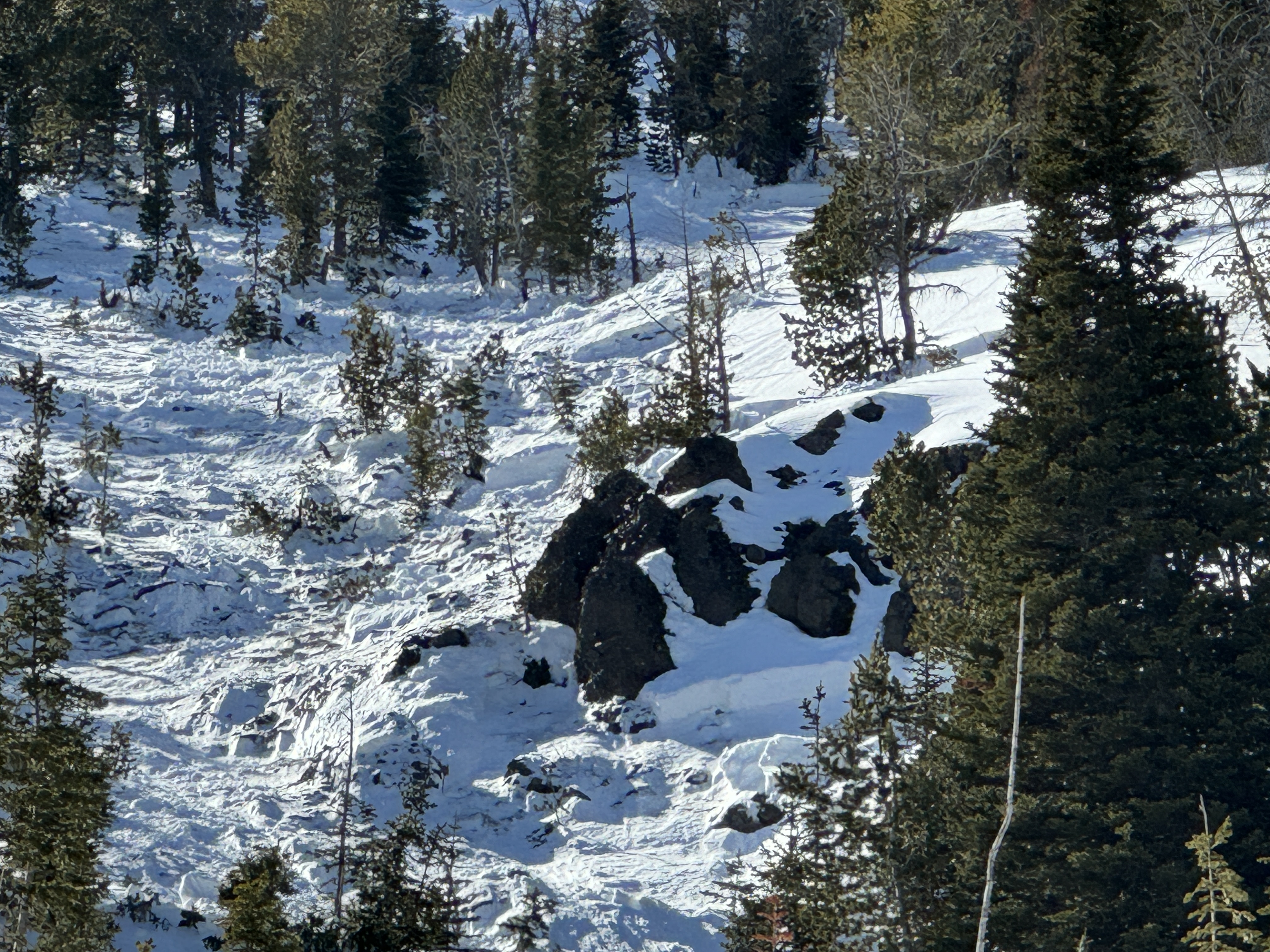
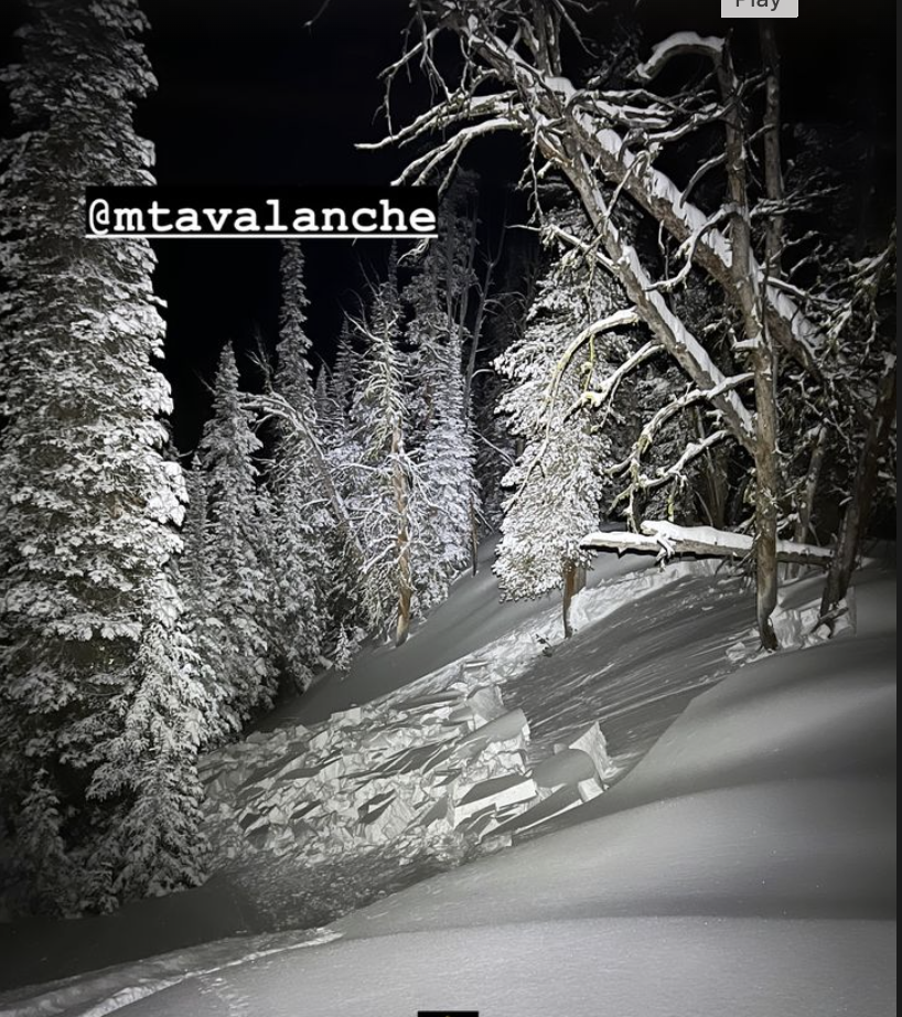
From IG message: “Rode the banana today.. lots of fast moving sluff. Had a mid elevation pocket pop. New snow seemed to have bonded well, the spot that did pop had formed into 12” slab below rock face.”
-

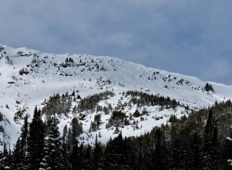
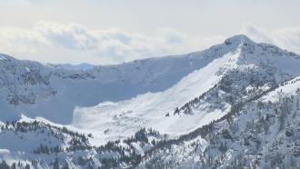
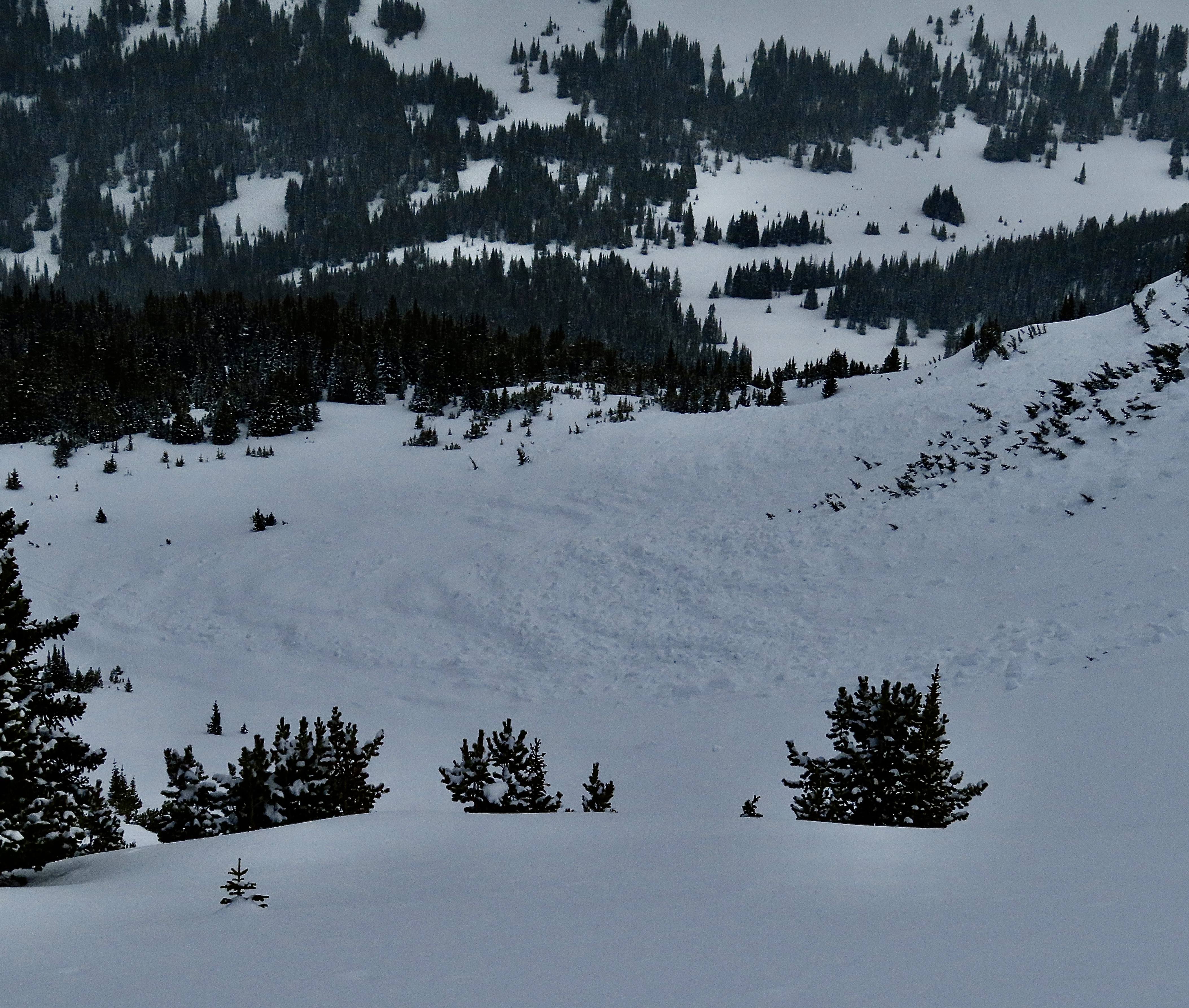
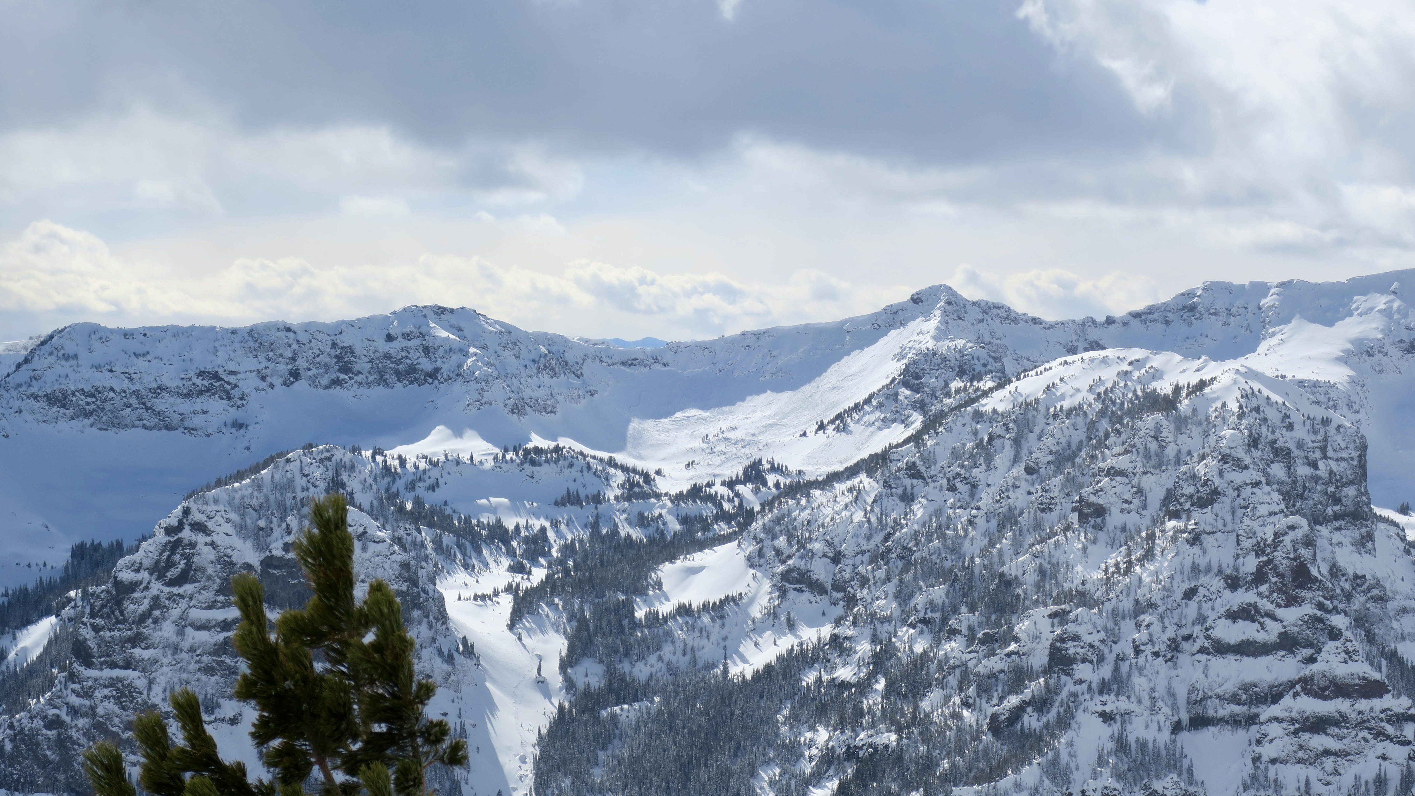
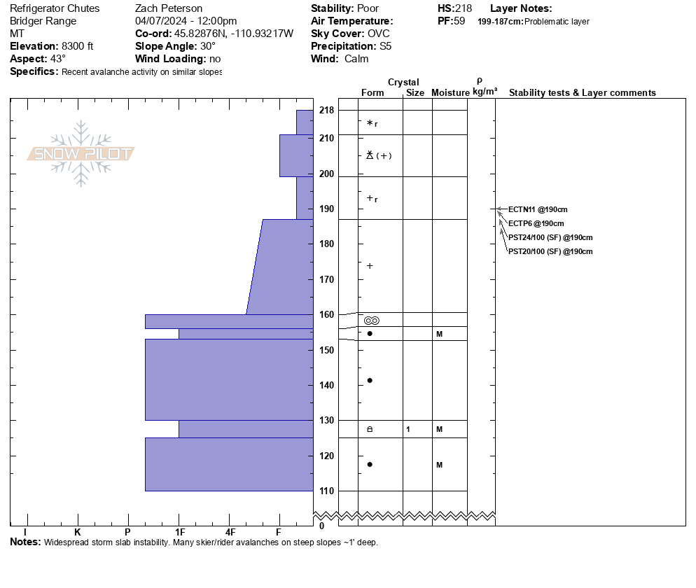
We toured up to Flanders Mtn and saw a big, deep 2-6' deep avalanche that broke 300-500' wide in weak snow at the bottom of the snowpack. It broke across two separate start zones and included a lower angle ridge (still around 30 degrees) in between that slid. E-NE aspect at 9,800'. HS-N-R3-D3-O. Photo: GNFAC
-
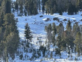
Skiers on 03/29/2024 saw this small avalanche on Hyalite Peak that had likely happened early that morning or the day before. Photo: W. Hubbard
-

From obs: "Spotted this big guy on the east face of Blackmore today. Seemingly natural and I believe it occurred in the last 36 hours or so. Debris had last nights snow on it. I’d estimate it at D2." Photo: E. Heiman
-
From obs: "Spotted this big guy on the east face of Blackmore today. Seemingly natural and I believe it occurred in the last 36 hours or so. Debris had last nights snow on it. I’d estimate it at D2. " Photo E. Heiman
-
Skiers on 03/29/2024 saw this avalanche on the N face of Hyalite Peak from Divide Cirque. This avalanche likely occurred in the last 24 hours. Photo: E. Webb
-
On 03/29/2024 skiers saw this recent avalanche on a NE aspect in the Divide Cirque at 9800'. This likely happened in the last 24 hours. Photo: E. Webb
-
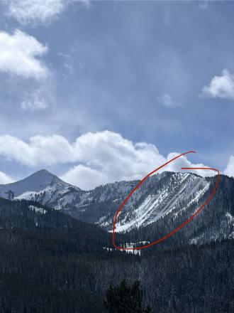
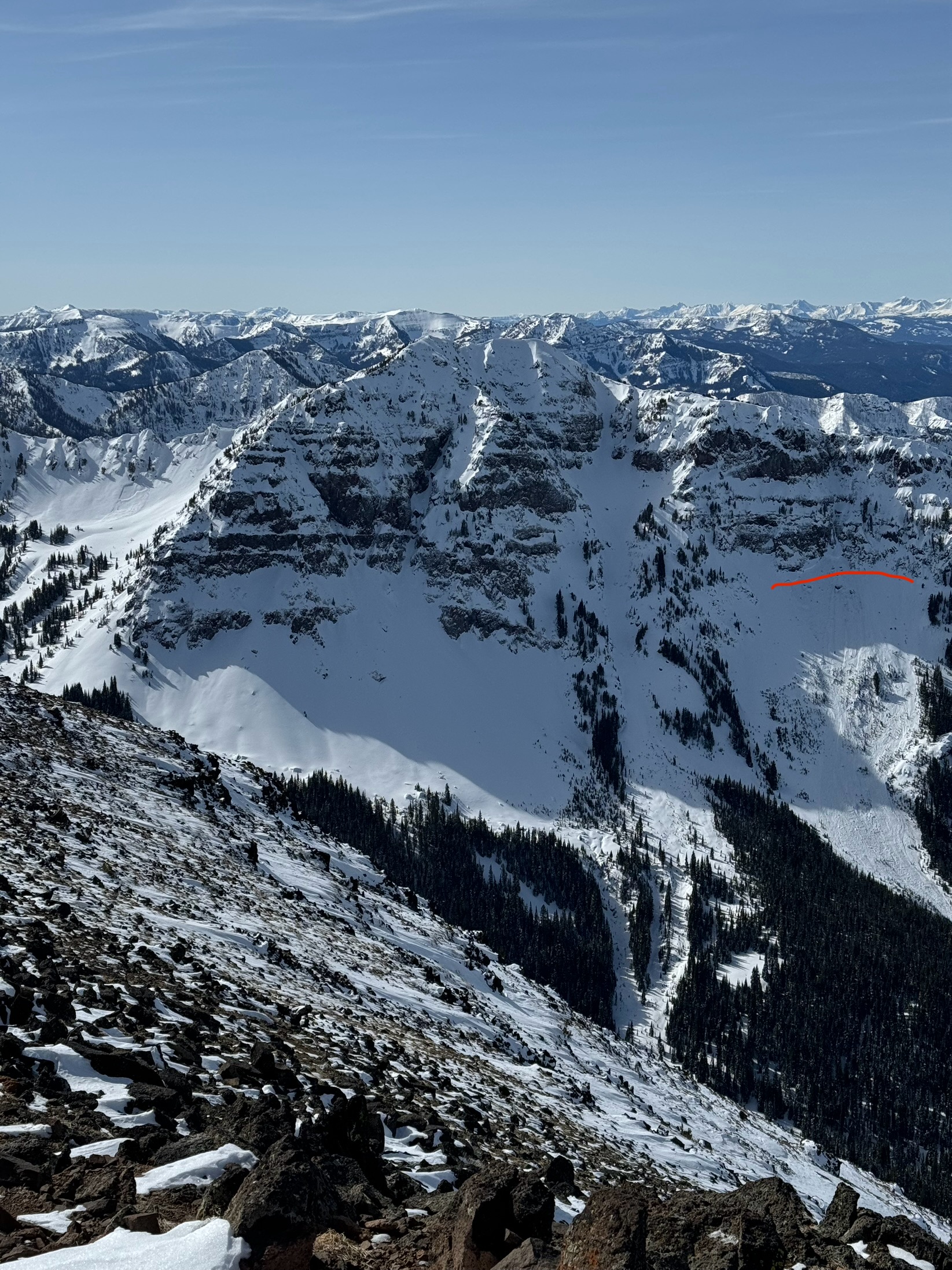
The avalanche occurred on the northernmost ridgeline in the Mt. Blackmore system near the waypoint at the top of the image. GNFAC/ Gaia
-
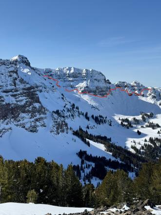
Two skiers were ascending a northeast-facing avalanche path on the northernmost ridgeline of Mount Blackmore around 1 PM when they triggered a large, dry slab avalanche that failed 3 feet deep, 150 feet wide, and ran 500 feet vertical. Debris piled up 4-8 feet deep and broke a number of mature trees. Photo: GNFAC
-

Two skiers were ascending a northeast-facing avalanche path on the northernmost ridgeline of Mount Blackmore around 1 PM when they triggered a large, dry slab avalanche that failed 3 feet deep, 150 feet wide, and ran 500 feet vertical. Debris piled up 4-8 feet deep. This photo captures the first area to avalanche on the climber's right side of the path. Photo: GNFAC
-
Two skiers were ascending a northeast-facing avalanche path on the northernmost ridgeline of Mount Blackmore around 1 PM when they triggered a large, dry slab avalanche that failed 3 feet deep, 150 feet wide, and ran 500 feet vertical. Debris piled up 4-8 feet deep. One skier was carried to the bottom left of the runout zone. Photo: GNFAC
-
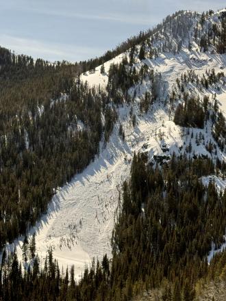
Two skiers were ascending a northeast-facing avalanche path on the northernmost ridgeline of Mount Blackmore around 1 PM when they triggered a large, dry slab avalanche that failed 3 feet deep, 150 feet wide, and ran 500 feet vertical. Debris piled up 4-8 feet deep. Photo: GNFAC
-

My partner and I were approaching Responsible FamilyMan via Avalanche Gulch early yesterday morning (3/18), and once we broke through the trees into the runout zone, we stumbled across a pretty large wet avalanche debris field. The debris terminated within ~50 yards of the max runout zone. Photo: R. Parsons
-
My partner and I were approaching Responsible Family Man via Avalanche Gulch early yesterday morning (3/18), and once we broke through the trees into the runout zone, we stumbled across a pretty large wet avalanche debris field. The debris terminated within ~50 yards of the max runout zone. Photo: R. Parsons
-
A wet loose snow avalanche on the southeast aspect on Mt Blackmore at 9700 to 9800 feet elevation. Photo: C Daniels
-
Skiers a few days ago saw several deep natural avalanches near the head of Swan Creek. These avalanches broke 2-5' deep, 2000' wide, and ran "full track". The exact date of when these avalanches happened is unknown but they likely happened over a week ago in the first few days of March. Photo: S. Reinsel
-

Skiers noted a large natural avalanche on the North face of Mt Blackmore that broke overnight. The crown was around 8 feet deep. Photo: E. Roman
-
Skiers noted a large natural avalanche on the North face of Mt Blackmore that broke overnight. The crown was around 8 feet deep. Photo: E. Roman
-
Skiers noted a large natural avalanche on the North face of Mt Blackmore that broke overnight. The crown was around 8 feet deep. Photo: E. Roman
-
One of several natural avalanches in the upper South Cottonwood drainage that skiers saw while in Hyalite. Photo: L. Gabrielson
-

One of several natural avalanches in the upper South Cottonwood drainage that skiers saw while in Hyalite. Photo: L. Gabrielson
-
One of several natural avalanches in the upper South Cottonwood drainage that skiers saw while in Hyalite. Photo: L. Gabrielson
-

This large avalanche was observed on Sunday, 03/03/2024 by riders in Portal Creek. Photo taken today, 03/07/2024. Photo: G. Edwards
-
Skiers from History Rock saw a few recent natural avalanches on Mt. Blackmore that likely happened during or near the end of a storm on 03/02-03/03. Photo: E. Webb
-
From obs: "Shot from the top of Flanders, ~1400 this afternoon, 3/3/2024. Big slide(s) on Arden and in Maid of the Mist. Looks like the skin track and ski track between the two slides got taken out. At first glance from across the way it looked like the skin track was crossing over the debris, but when zoomed in it looks like the debris overran the skin track and the ski track." Photo: M. Zia
-
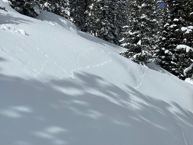
Skiers experienced widespread cracking and collapsing while touring in Hyalite. The largest of which shot 100' out in front of them. Photo: S. Lowe
-
Skiers on 03/02/2024 observed several natural avalanches that likely happened in the last 24 hours. Photo: Anonymous
-

Skies on 03/02/2024 observed several natural avalanches that likely happened in the last 24 hours. Photo: Anonymous
-
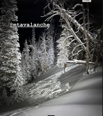
Photo from IG, slide occurred night of 3/1.


Videos- Northern Gallatin
WebCams
Bozeman Pass, Looking SE


Weather Stations- Northern Gallatin
Weather Forecast Northern Gallatin
Extended Forecast for14 Miles SE Gallatin Gateway MT
Today

High: 49 °F
Mostly Sunny
Tonight

Low: 36 °F
Mostly Cloudy
Sunday
High: 50 °F
Chance
Rain/Snow
then ShowersSunday Night

Low: 28 °F
Snow Showers
Monday

High: 34 °F
Snow and
BreezyMonday Night
Low: 25 °F
Chance Snow
and Breezy
then Slight
Chance SnowTuesday

High: 34 °F
Snow Likely
and BreezyTuesday Night

Low: 24 °F
Snow Likely
and BlusteryWednesday

High: 32 °F
Snow
The Last Word
We began daily forecasts on December 7. 130 daily forecasts and 464 reported avalanches later, we wrapped up our daily forecasting season on April 14th. Read our SEASON SUMMARY to look back at the 2023-24 avalanche forecasting season.
Thank you to everyone that sent in observations, read the advisories, took an avalanche class, or donated money, time or gear. Our success is directly related to support from the community and the Forest Service. Have a safe spring and summer!