|
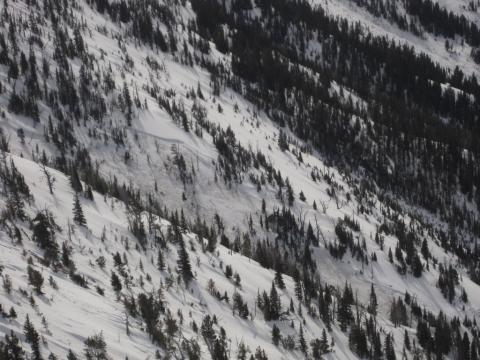
Bridger Range, 2012-03-25 A poor snowpack structure and multiple days without freezing temperatures has created unstable conditions in the Bridger Range. This wet slab released naturally and failed on facets near the ground. Photo Alex Merienthal
|

|
Bridger Range, 2012-03-24 The slide that occurred in the northern Bridgers broke on facets near the ground. Temperatures well above freezing combined with a terrible snowpack structure will keep the avalanche danger elevated. Photo GNFAC
|
|
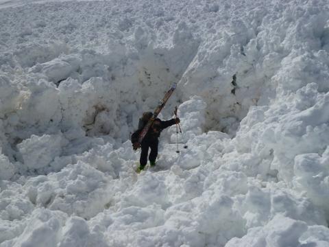
Bridger Range, 2012-03-24 A large human triggered slide north of Ross Peak left piles of debris up to 15 feet thick. Mark Staples hikes out of a large hole in the center of the debris pile. Fortunately the rider who triggerd this slide was not caught. Photo GNFAC
|
|
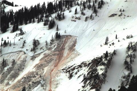
Bridger Range, 2012-03-23 This slide was human triggered. Fortunately the rider escaped unharmed. Photo Ross
|
|
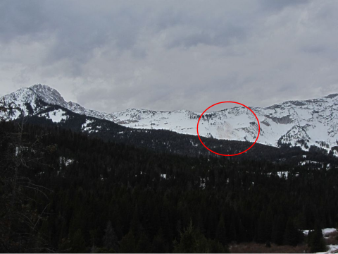
Bridger Range, 2012-03-23 This human triggered slide occurred between Ross Peak and the Throne in the northern Bridgers. Photo Alex van Herwijnen
|
|
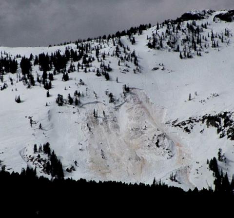
Bridger Range, 2012-03-23 This slide occurred in the northern Bridgers and was triggered by a snowmobiler. The rider triggered the slide on his way up and fortunately avoided being caught. Both the rider and the sled went over the crown. The rider escaped unharmed but the sled was totaled. Photo Alec van Herwijnen
|
|
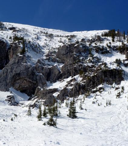
Bridger Range, 2012-03-21 The slide that occurred on the Football Field sent debris soaring over these large cliffs. It's important to remember what's below you when skiing on the Football Field and surrounding terrain. Photo GNFAC
|
|
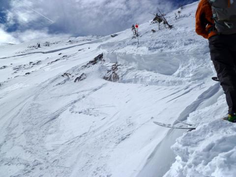
Bridger Range, 2012-03-21 The slide that occurred on the Football Field just outside of the ski area boundary took out the entire seasons snowpack. The slide also took out countless ski tracks that have been put down throughout the winter. This is a great reminder that sidecountry is backcountry, and even slopes just outside the ski area boundary are prone to avalanches. Photo GNFAC
|
|
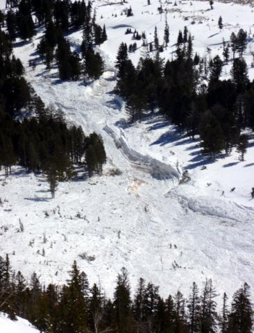
Bridger Range, 2012-03-21 The debris from the slide in Argentina Bowl broke mature trees and gouged the landscape. This slide propagated hundreds of yards wide and ran nearly full track. Photo GNFAC
|
|
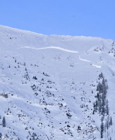
Bridger Range, 2012-03-20 |
|
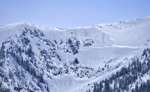
Bridger Range, 2012-03-20 |

|
Bridger Range, 2012-03-20 Numerous large and destructive hard slab avalanches released naturally overnight. The Football Field to the north of Saddle Peak was at least 4-5 feet deep. These avalanches broke near the ground on facets. Photo: N. Hillenbrand
|

|
Bridger Range, 2012-03-20 The crown of the football field avalanche stopped right at the south boundary of the Bridger Bowl Ski Area. This slope has traditionally been very popular becuase it is next to the boundary and seems safe when the reality is that it is drastically different. Photo: A. Marienthal
|
|
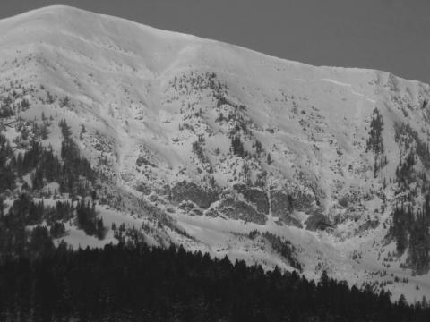
Bridger Range, 2012-03-20 This avalanche happened sometime Monday (3/19) night or very early Tuesday (3/20) morning. The debris ran far into the relatively flat terrain below the cliffs. The powder cloud/air blast shook large mature trees and blew the snow off their limbs. Photo: GNFAC
|
|
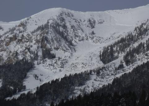
Bridger Range, 2012-03-20 |
|
, 2012-03-20
|

|
Southern Madison, 2012-03-19 My partner and I triggered this slide from the ridgetop. We heard a huge collapse and watched cracks propagate alonfg the ridge before avalanching the cornices and slope below. The slide propagated up and down the ridge about 1,000 feet. The crown was 3-5 feet deep and was a hard slab that pulled out trees. It was a north to northeast aspect at 9,500 feet. It ran about 600 feet vertical . Check out the video of the aftermath. Photo: GNFAC
|

|
Southern Madison, 2012-03-19 This photo was taken from the Wilderness Boundary looking into the head of Beaver Creek. This continuous crown line was very, very long and likely broke sometime this morning. Photo: GNFAC
|

|
Southern Madison, 2012-03-19 This climax avalanche on the east face of Ernest Miller Ridge ran full path. This likely released early Sunday (3/18). Ernie Miller is located to the west of Bacon Rind in the southern Madison Range. Photo: D. Wykoff
|

|
Bridger Range, 2012-03-18 This avalanche was on the west side of the Bridger Range on a path called Saint Lawrence. It broke at the ground and ran over 1,000 vertical feet. Photo: P. Carse
|