Photos
|
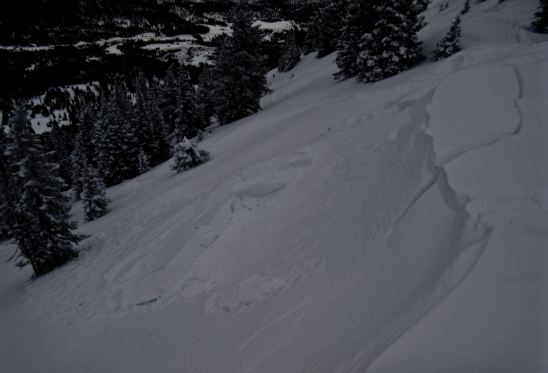
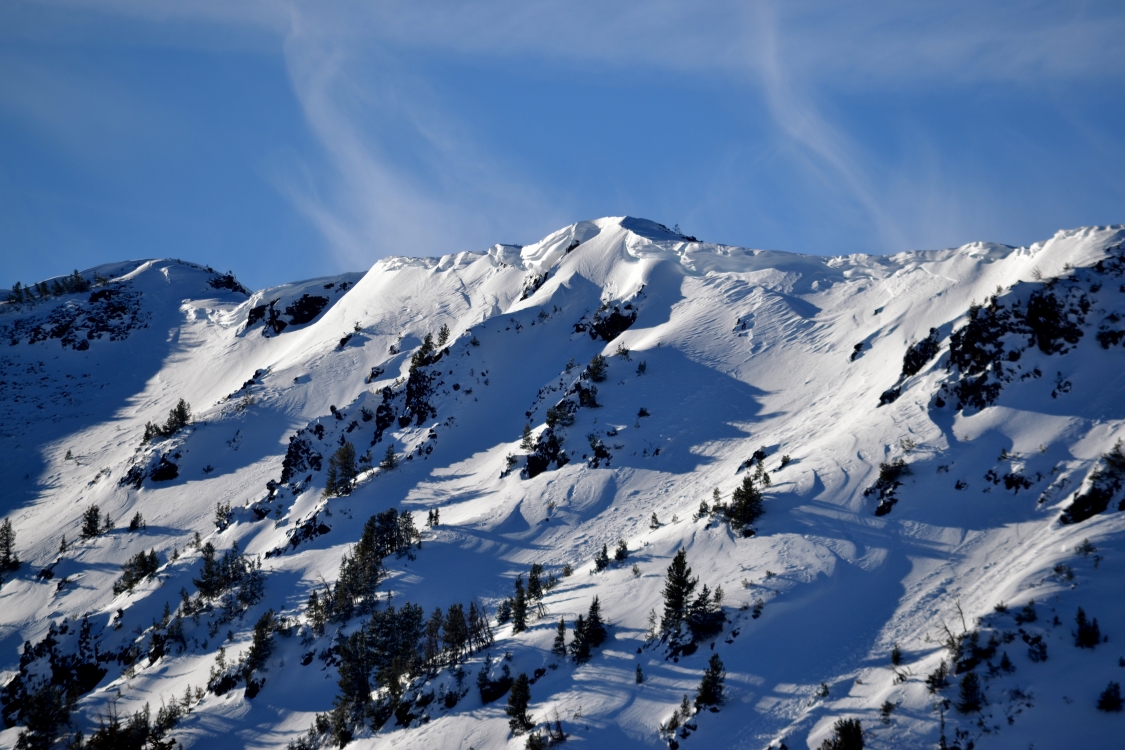
Bridger Range, 2017-12-18 Fresh wind slabs 2-3 feet thick were easily triggered near ridgelines in the Bridger and northern Gallatin Range yesterday (12/17). Photo: GNFAC |
|
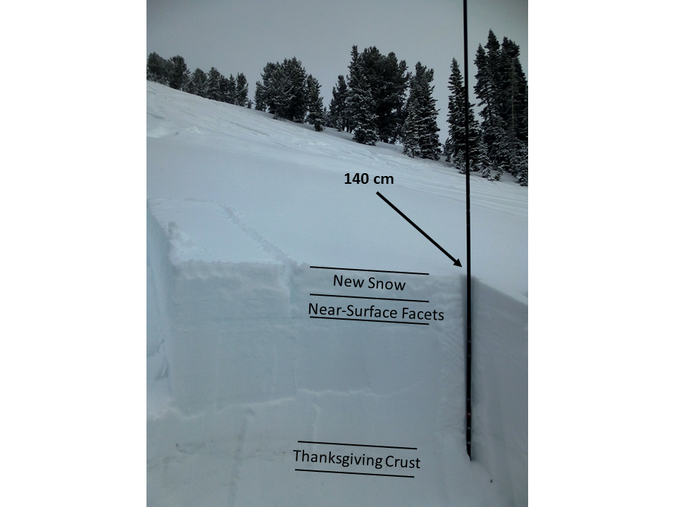
Cooke City, 2017-12-17 Riding around Cooke City on all aspects we found a weak layer of near-surface facets buried under the new snow. This layer may persist for a while and with additional weight (new snow or wind-loading) it could avalanche in the coming weeks. This picture shows the top 80 cm of the snowpack. Photo: GNFAC |
|
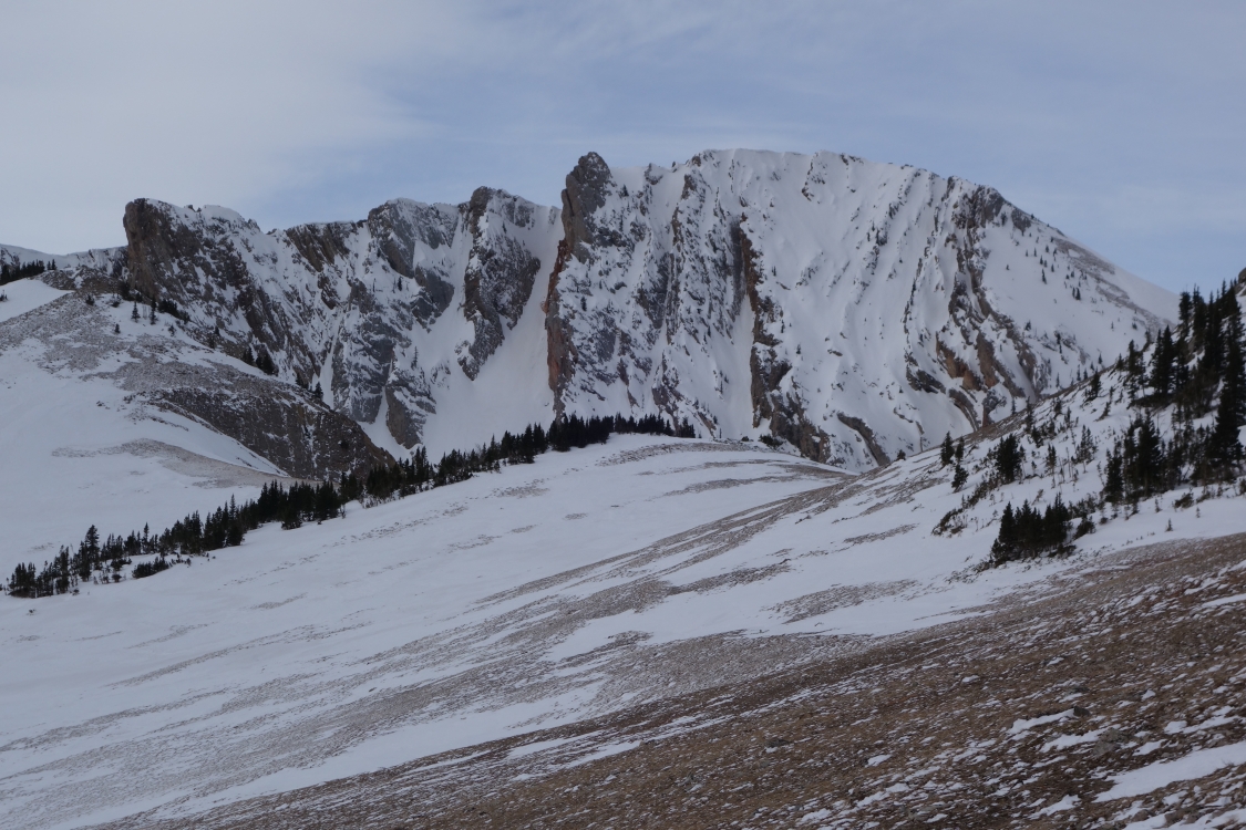
Bridger Range, 2017-12-17 Strong wind last week scoured southerly slopes to bare ground near Frazier Basin and Fairy Lake. Photo: P. Honsinger |
|
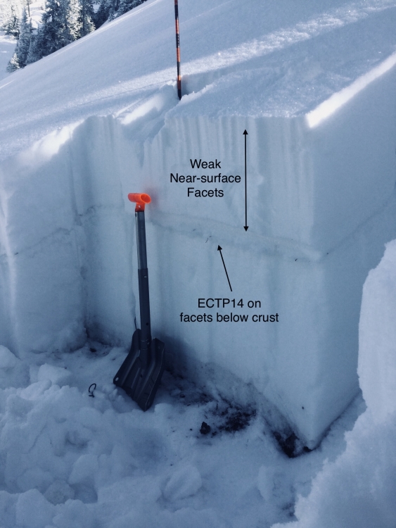
Bridger Range, 2017-12-15 We found unstable test results on weak facets below the Thanksgiving crust on the west side of the Bridger Range. WNW aspect at 8100'. This instability is not widespread, but worth digging to look for before riding steep terrain. We found mostly stable conditions on slightly different slopes nearby. Weak, sugary facets above the crust will be the main concern when more snow falls. Photo: GNFAC |
|
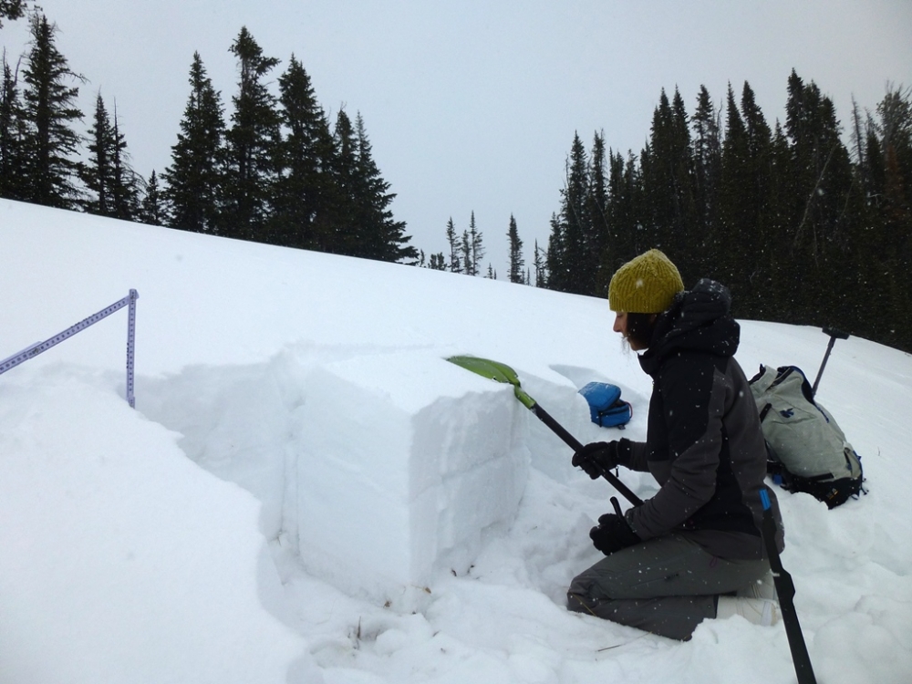
Southern Madison, 2017-12-13 Stable and weak. Dug a pit on an E aspect (HS 69cm) near Pika Point. Pit composition was fairly uniform, with multiple layers of different sized facets/rounding facets. Had a clean break, CT13, Q2 on facets beneath the Thanksgiving crust, though did not propagate (ETCN21). Found a 2 inch layer of near-surface facets, which will likely cause some problems with more precipitation on the way later in the week. Photo: GNFAC |
|
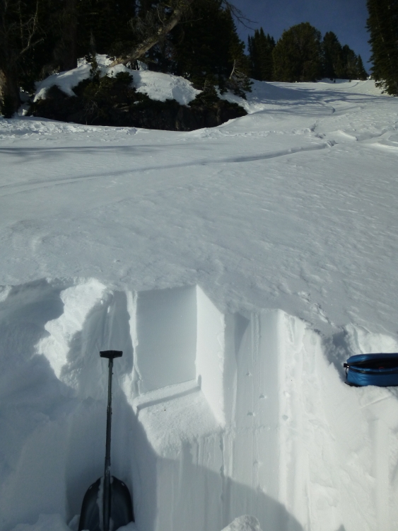
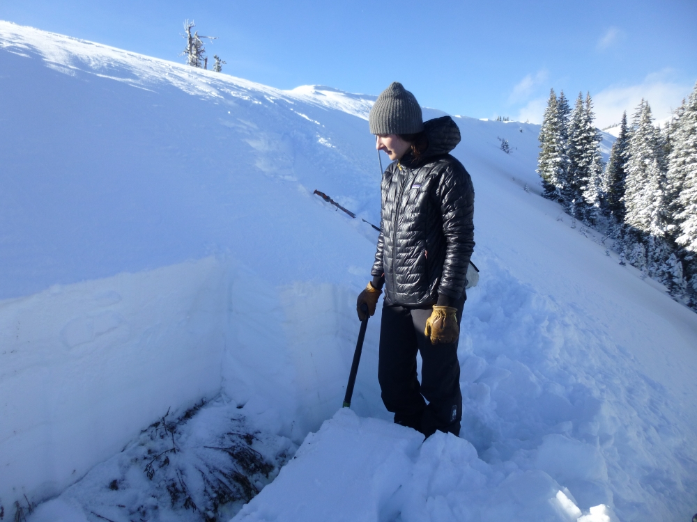
Northern Gallatin, 2017-12-11 Even during times of LOW Danger we recommend doing a quick stability test before going into avalanche terrain. You do not need to dig to the ground, just to the ice crust that was formed in Thanksgiving, shown here about 1.5' from the snow surface. The snowpit was on Divide Peak, east facing, about 9400'. Photo: GNFAC |
|
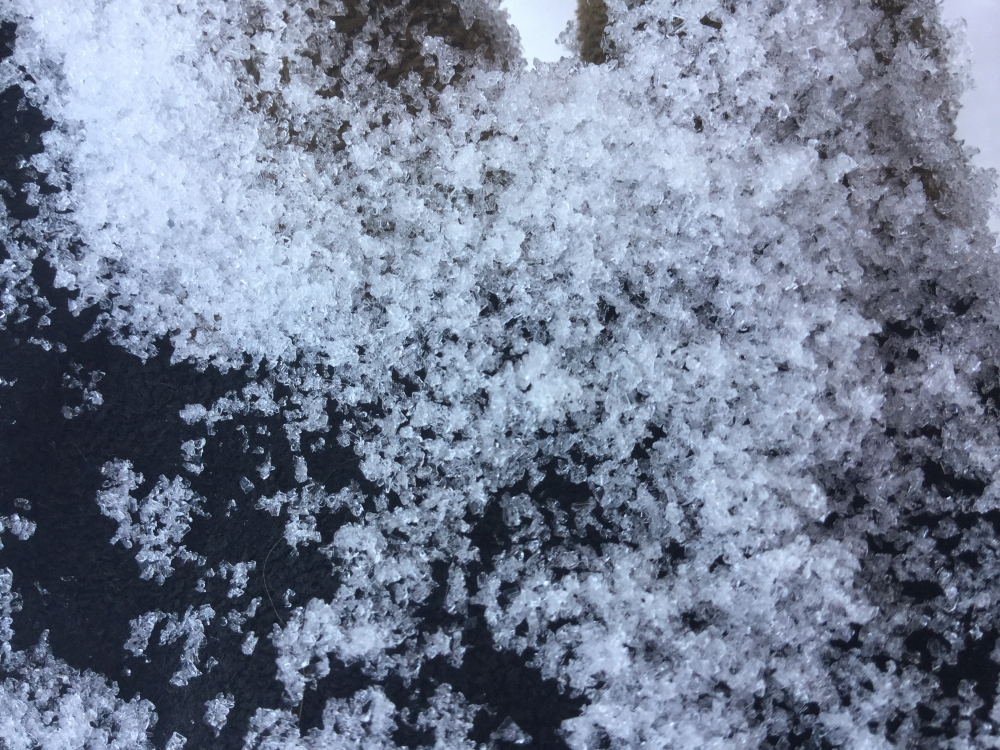
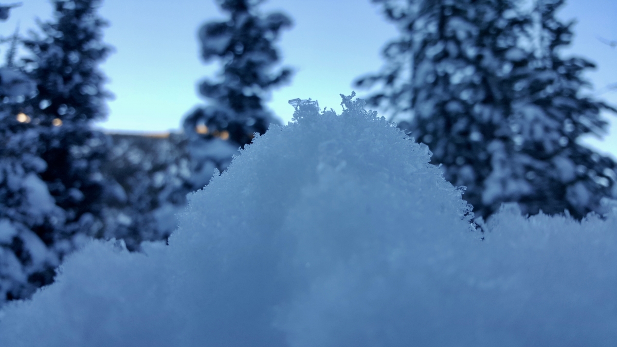
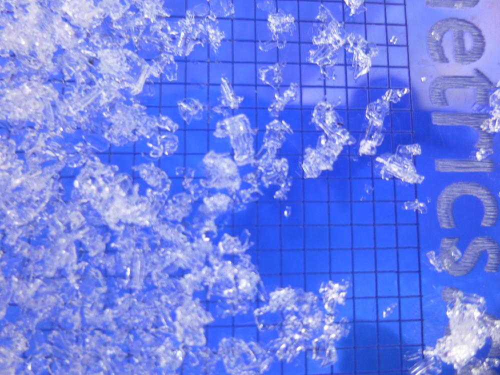
, 2017-12-11 Weak, faceted snow is forming on the surface of the snowpack during current high pressure. Cold nights and clear skies create a strong temperature gradient at the surface of the snowpack. The snow surface is much colder than snow just a few inches below, which promotes a rapid transfer of moisture between snow crystals and grows them into angular, weak, sugary facets. These weak facets will be buried by the next snowfall, and we’ll have to be cautious and carefully assess stability before venturing into avalanche terrain. Crystals in this photo are .5-1.5 mm big. Photo: GNFAC |
|
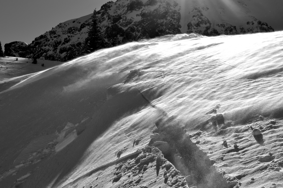
Bridger Range, 2017-12-11 Strong winds drifted snow into slabs across mid-elevation terrain in the Bridger Range. Cross-loaded terrain features like this should be approached with caution or avoided altogether. Especially where a small slide has high consequences, like over cliffs. Photo: GNFAC |
|
Northern Gallatin, 2017-12-09 Calm and clear nights are creating perfect conditions to grow surface hoar. This photo was taken up Flanders drainage in Hyalite. This will likely be our next weak layer once we get more snow. Photo: G. Antonioli |

|
Cooke City, 2017-12-09 Small wet loose slides were observed on sunny aspects outside of Cooke City. These slides weren't big, but they're an indicator that instability with sunny skies and above freezing temps. Photo: B. Fredlund |
|
Northern Madison, 2017-12-08 Skiers triggered some small wet loose avalanches on sunny, southwest aspects in Beehive Basin during sunny days this week. These slides are small, but could be hazardous over the wrong terrain (like cliffs). Photo: GNFAC |
|
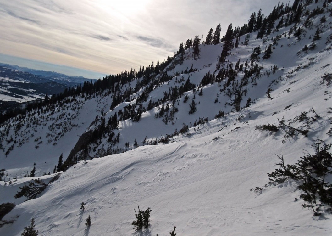
Northern Madison, 2017-12-04 The cornices grew further and almost are reaching a full curl. A foot of new snow and strong winds in the last 24 hours fed the snow overhangs. Photo: GNFAC |
|
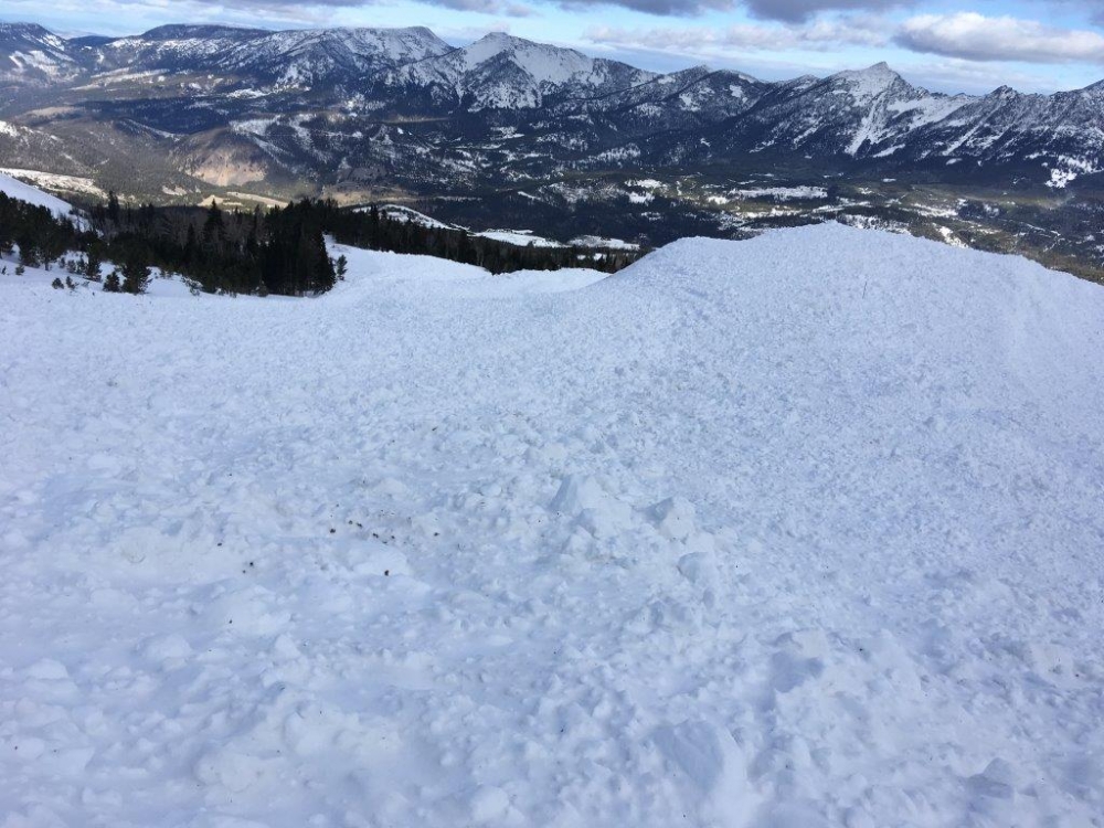
Northern Madison, 2017-12-02 Big Sky ski patrol triggered this R5-D4 hard slab on a north aspect around 10,000' with explosives on Thursday 11/30. It was a 5-10 foot deep hard slab that failed on old, persistent weak layers from September or October. Photo: BSSP |
|
Northern Madison, 2017-12-02 Big Sky ski patrol triggered this R5-D4 hard slab on a north aspect around 10,000' with explosives on Thursday 11/30. It was a 5-10 foot deep hard slab that failed on old, persistent weak layers from September or October. Photo: BSSP |
|
Northern Madison, 2017-12-02 Big Sky ski patrol triggered this R5-D4 hard slab on a north aspect around 10,000' with explosives on Thursday 11/30. It was a 5-10 foot deep hard slab that failed on old, persistent weak layers from September or October. Photo: BSSP |
|
Cooke City, 2017-11-30 A skier outside of Cooke City triggered this small wind slab on Wednesday, Nov. 29th. Strong and steady winds transported new snow and loaded leeward slopes in many locations. Photo: B. Fredlund |
|
Northern Gallatin, 2017-11-29 A skier up Hyalite triggered a windslab that was 1' deep x 25' wide well below the ridgeline on an east facing slope. Light to moderate winds continued to load slopes in the last 24 hours. Photo: B. VandenBos |
|
Northern Gallatin, 2017-11-29 Wind loading at upper elevations created wind slabs, and cornices grew large for this early in the season. Photo: B. VandenBos |
|
Lionhead Range, 2017-11-28 This stability test broke and propagated (ECTP17) on a 5cm layer of moist facets at the ground. These facets have not been causing widespread problems, but should not be ruled out. Photo: GNFAC |
|
Lionhead Range, 2017-11-28 A small layer of moist facets found on the ground at Lionhead Ridge.This layer propagated during our stability tests (ECTP17), but likely won't last long. Photo: GNFAC |