Photos
|
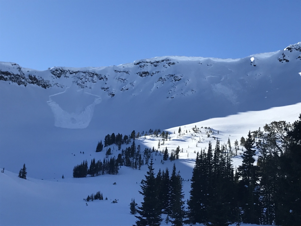
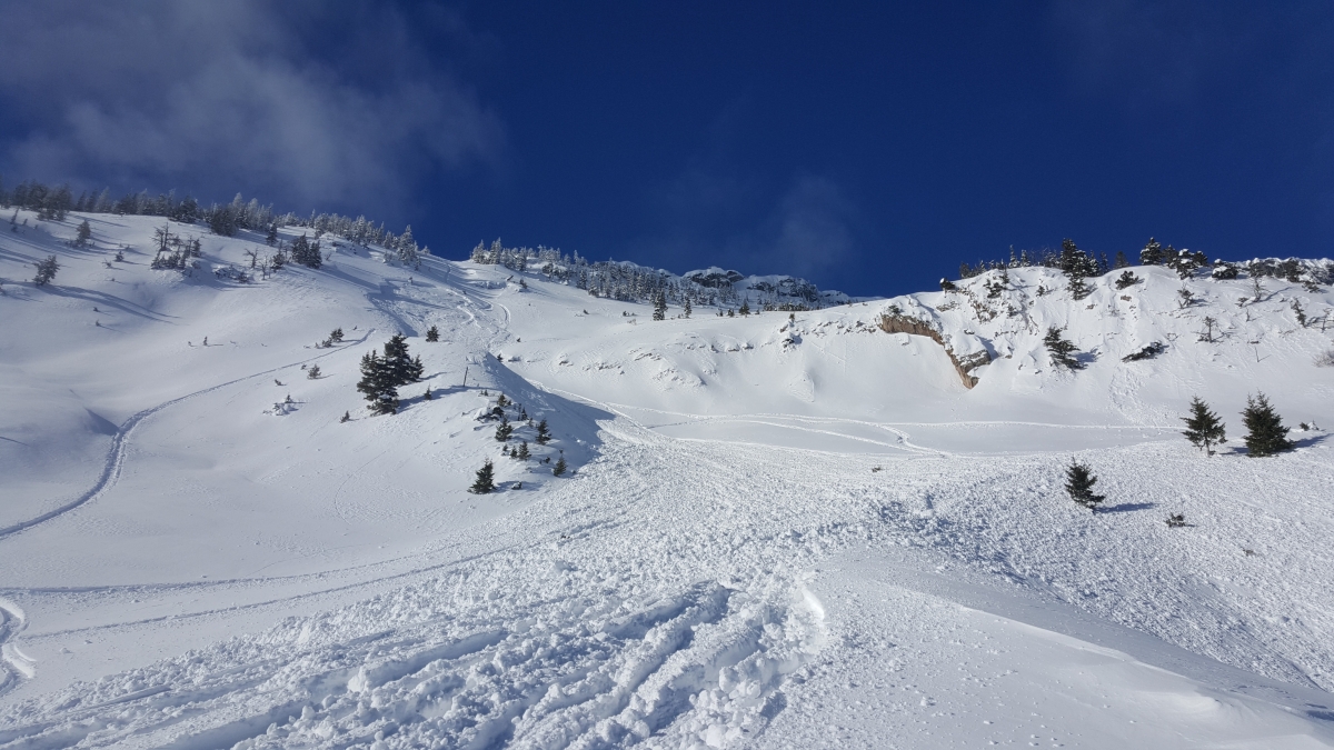
Bridger Range, 2018-01-20 This wind slab was remotely triggered by skiers in the northern Bridger Range near Fairy Lake. Photo: M. Taylor |
|
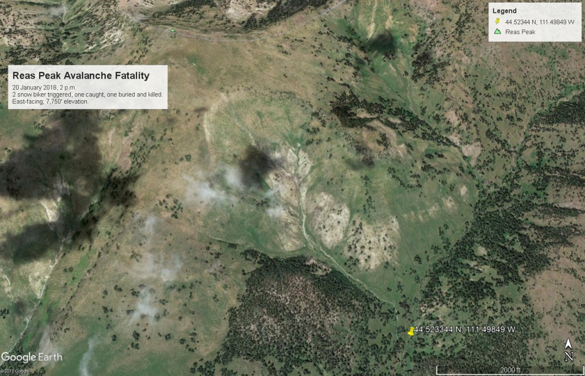
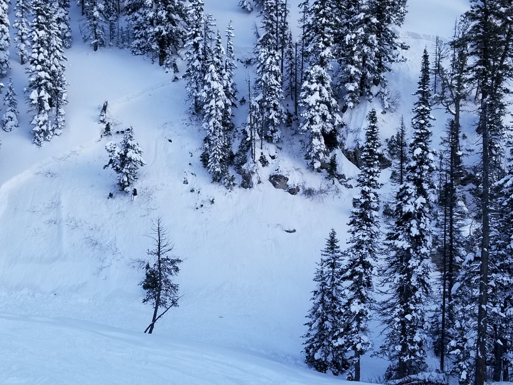
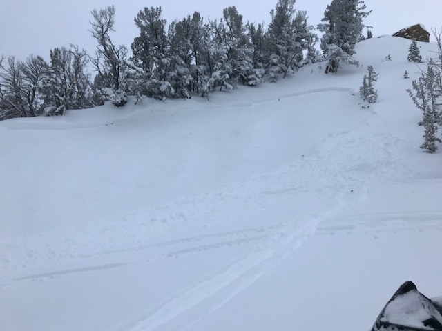
, 2018-01-20 Location of the avalanche that caught and killed a snow biker. |
|
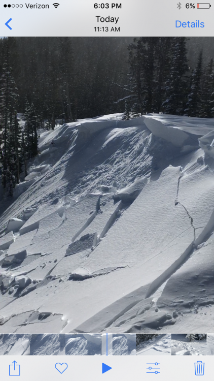
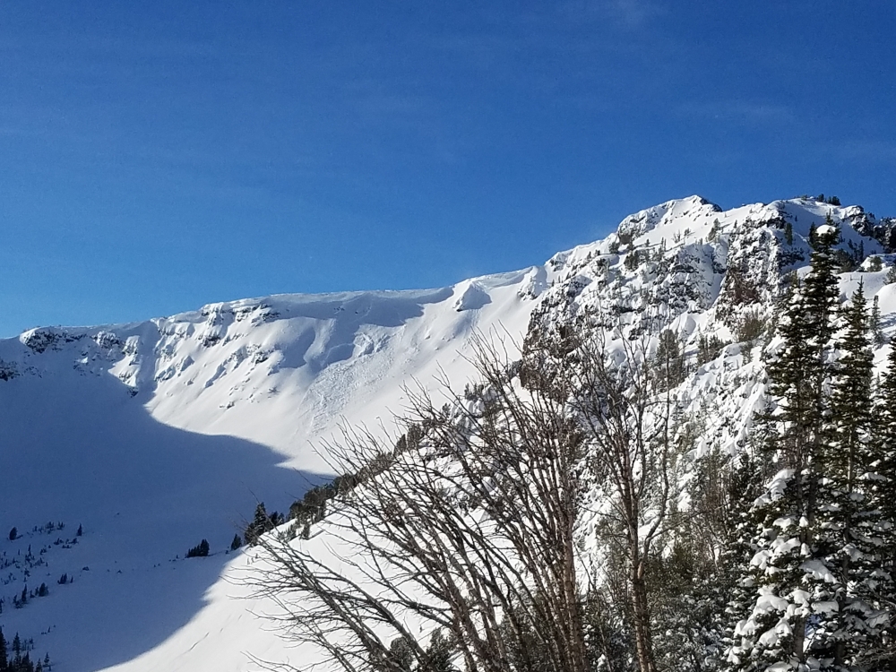
, 2018-01-20 The avalanche was estimated to be up to 2.5 feet deep, 600' wide and 2-300' slope distance. Photo: GNFAC |
|
, 2018-01-20 Location of the victim. The avalanche came from the slopes to the left. Photo: GNFAC |
|
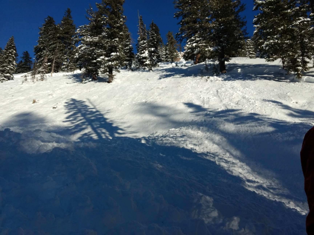
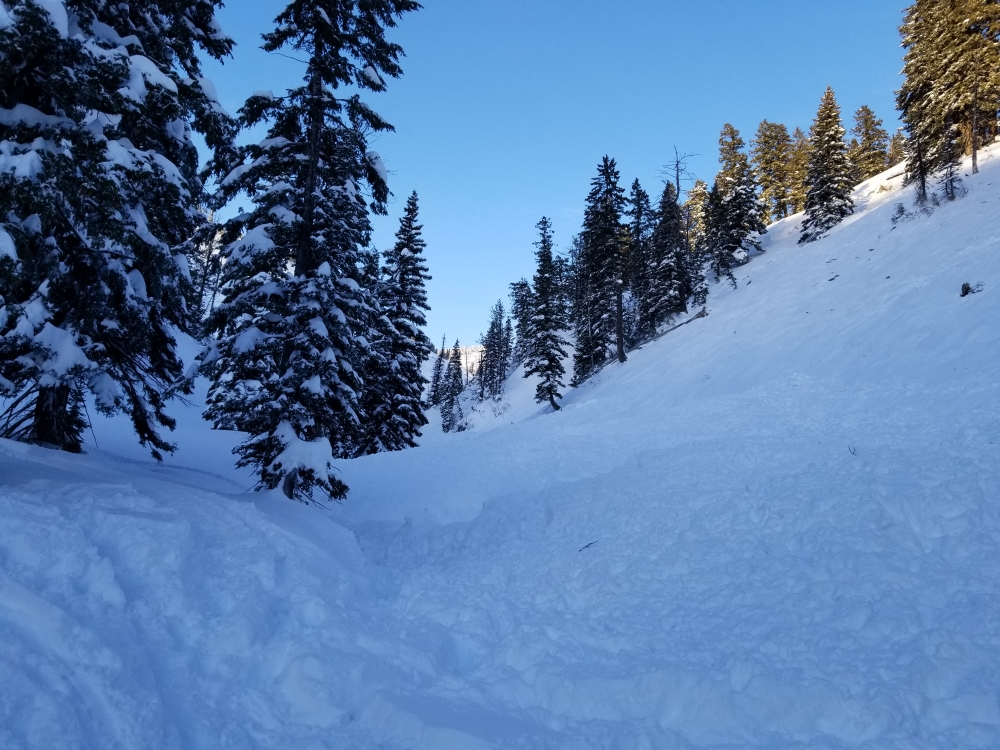
, 2018-01-20 The crown and flanks of the avalanche are visible. All the debris ended up in the gully. Photo: R. Gravatts |
|
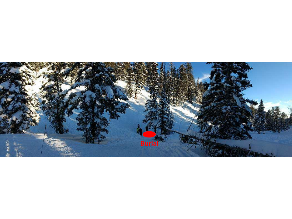
, 2018-01-20 This gully is where the rider was buried 6' deep. It's a terrain trap and the snow piled up deeply here. Photo: R. Gravatts |
|
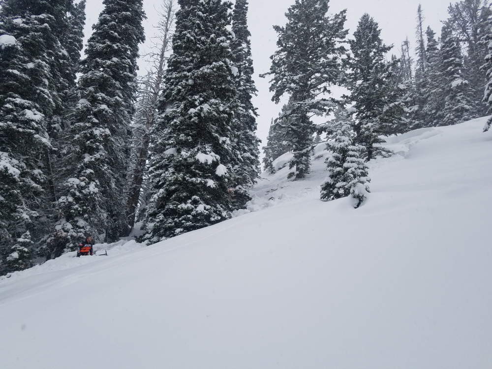
Lionhead Range, 2018-01-20 A snowmobiler remotely triggered this slide in the Lionhead area near West Yellowstone. Heavy snow combined with a weak and unstable snowpack is creating very dangerous conditions in the Lionhead area. Photo: L. Read |
|
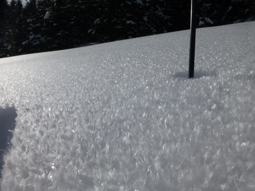
Northern Madison, 2018-01-18 Surface hoar was observed on sheltered slopes north of the Big Sky. This layer doesn't exist on all slopes, but should be looked for when traveling in steep, sheltered terrain. Photo: GNFAC |
|
Northern Gallatin, 2018-01-17 This photo was taken yesterday and the wind slabs likely released after the storm ended on Saturday. This is the cirque behind Maid of the Mist up Hyalite. Photo: Pyper Dixon |
|
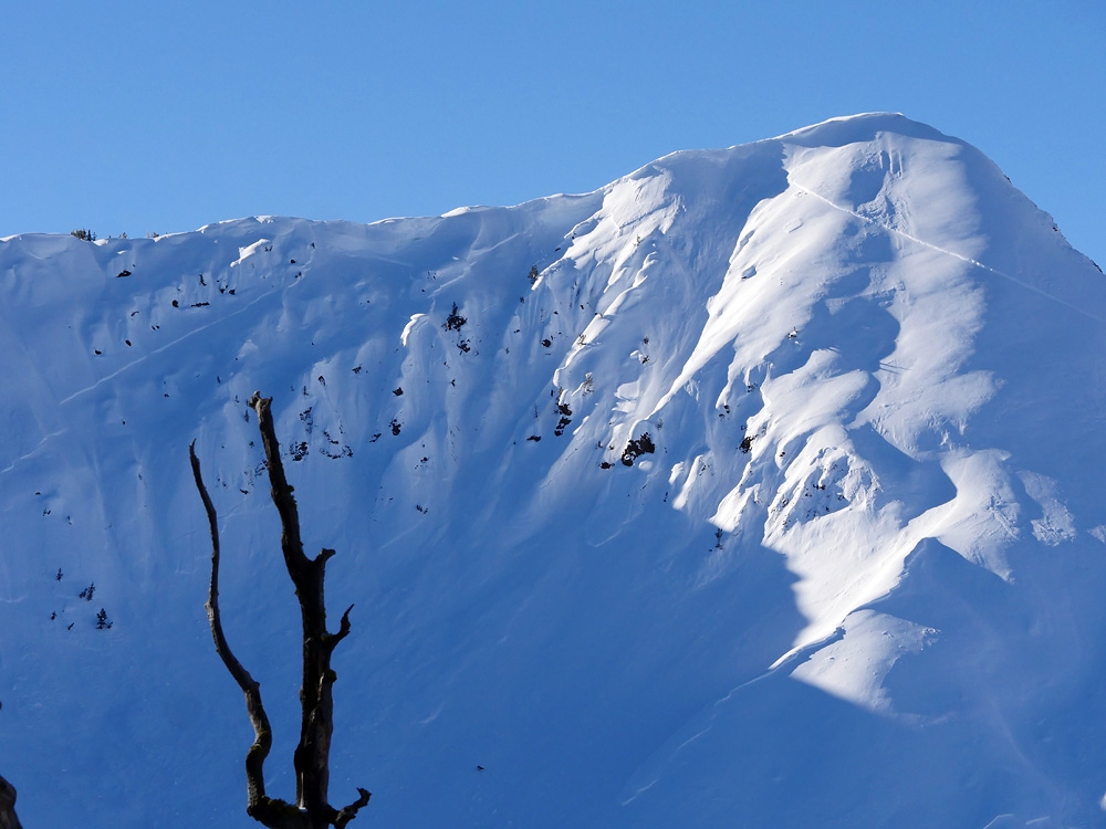
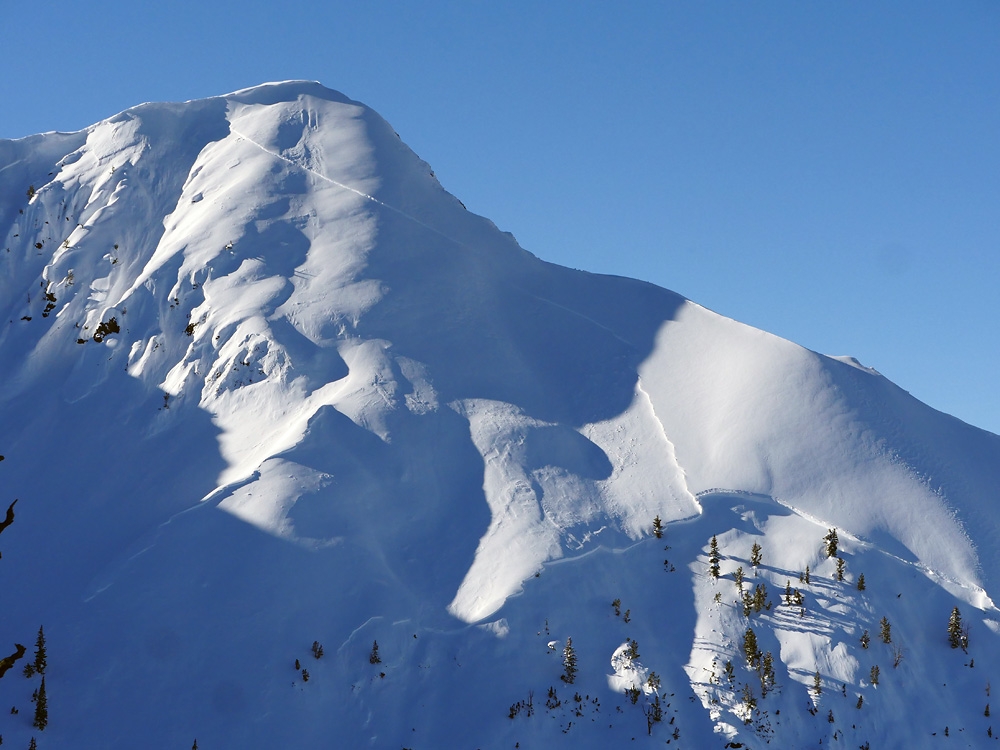
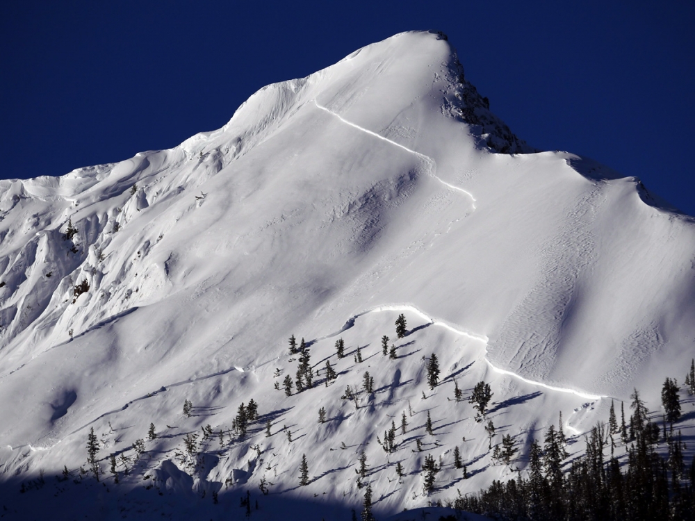
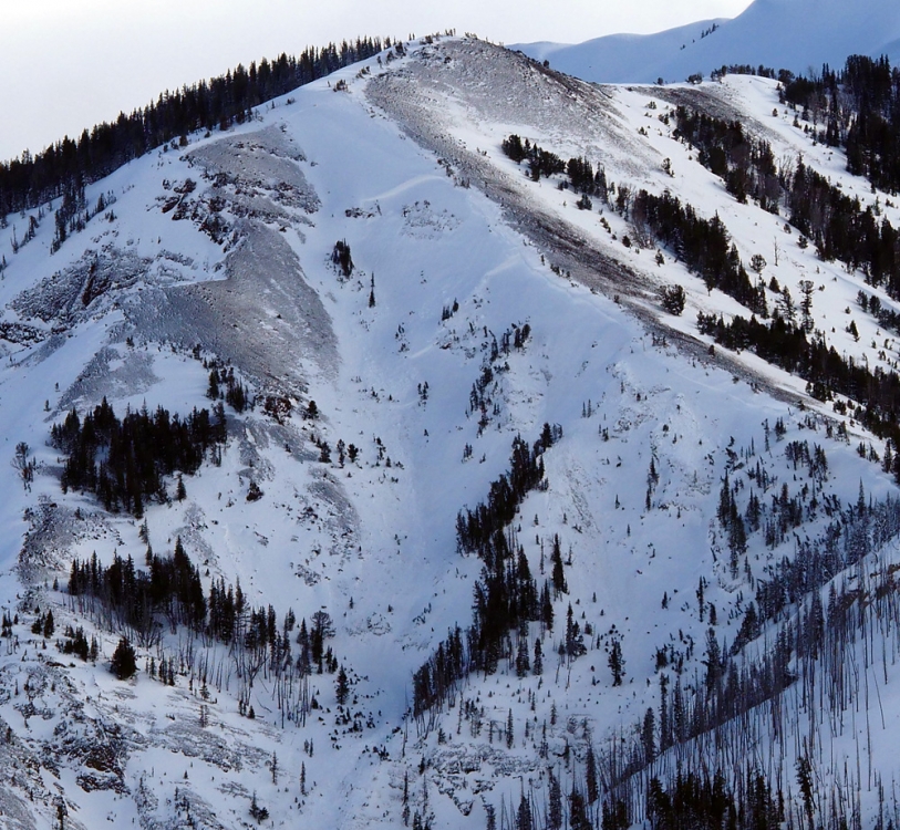
Cooke City, 2018-01-16 This avalanche likely released on Jan 12 and is estimated to be 3' deep near the top of the slope and 8' deep lower down. Photo: B. Fredlund |
|
Cooke City, 2018-01-16 This avalanche likely released on Jan 12 and is estimated to be 3' deep near the top of the slope and 8' deep lower down. Photo: B. Fredlund |
|
Cooke City, 2018-01-16 This avalanche likely released on Jan 12 and is estimated to be 3' deep near the top of the slope and 8' deep lower down. Photo: B. Fredlund |
|
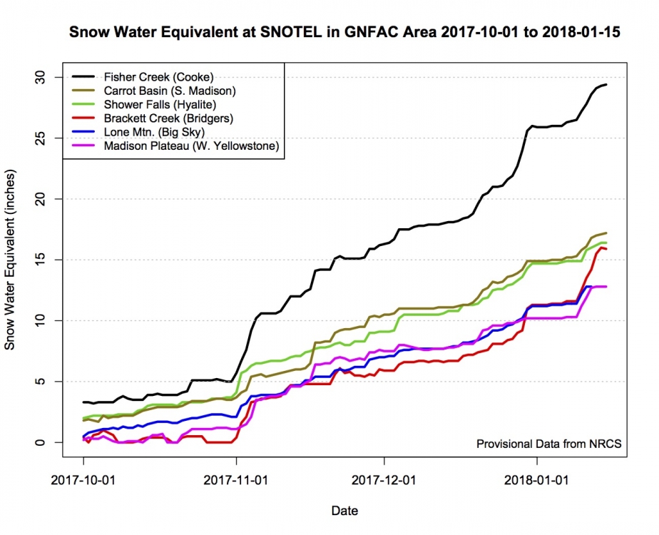
, 2018-01-16 More snow = more avalanches. Graphic is snowpack change in inches of water since 10/1/17. The storm that ended Saturday is the steep increase at the end of each line. Large avalanches were triggered during and after that storm and remain possible for a few days. |
|
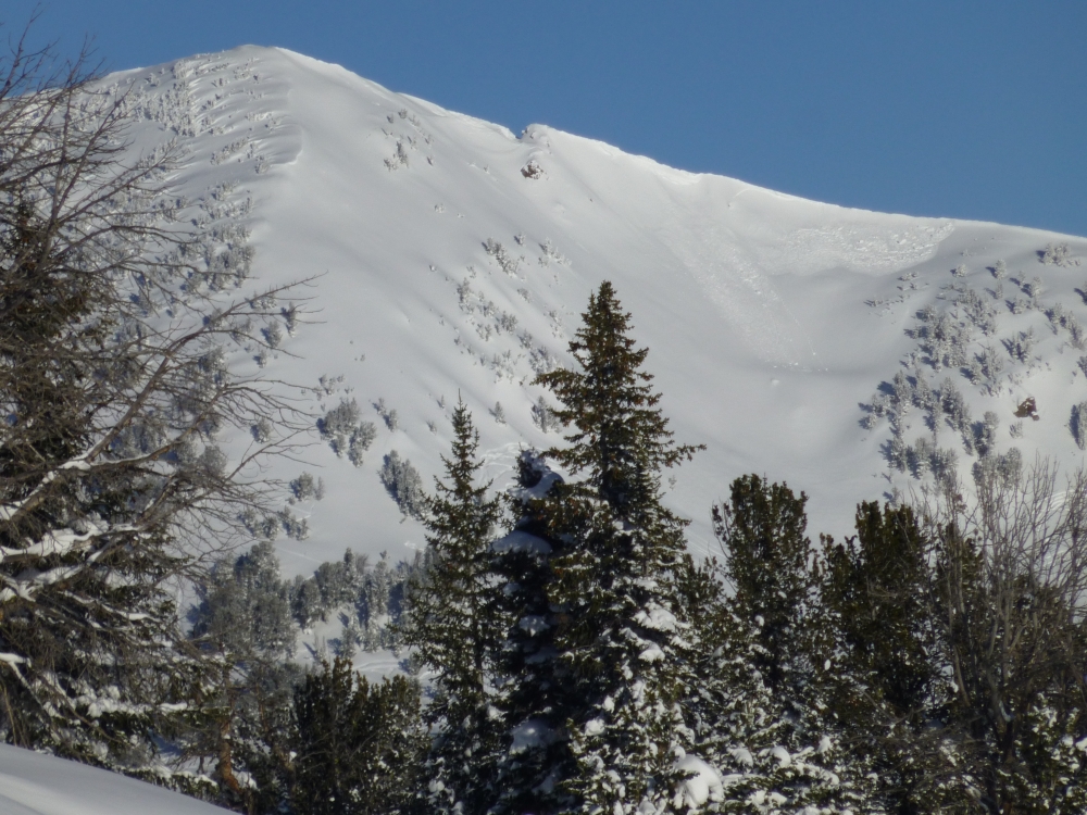
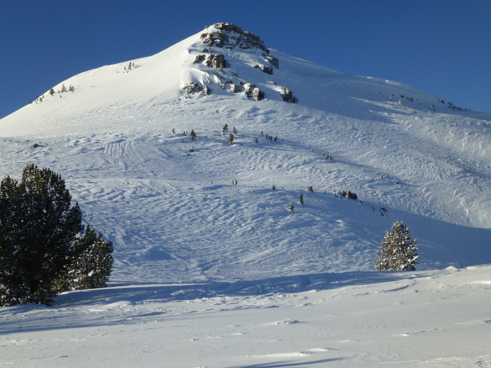
Cooke City, 2018-01-15 Strong wind on Sunday night loaded a few slopes. This avalanche released off Scotch Bonnet on a southwest facing slope. Photo: GNFAC |
|
Cooke City, 2018-01-15 Strong wind (NW) Sunday night scoured some slopes and loaded others. The slopes above Henderson Bench were raked clean of powder. Photo: GNFAC |
|
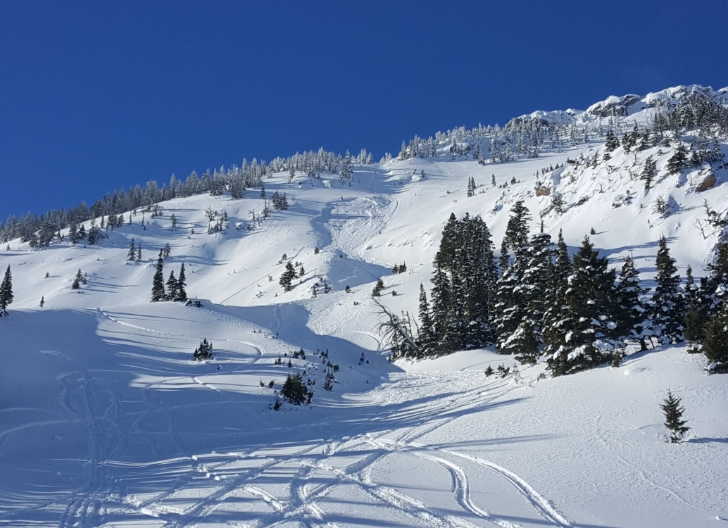
Bridger Range, 2018-01-15 This avalanche was triggered by a snowmobiler on Sunday 1/14. |
|
Bridger Range, 2018-01-15 This avalanche was observed on Sunday 1/14 north of Ross Peak in the northern Bridgers. It was triggered by a snowmobiler on Sunday 1/14. |
|
Northern Madison, 2018-01-15 This slide was observed Saturday, 1/13 and looked to have been recently triggered by a snowmobiler. It is near McAtee Basin by Buck Ridge. Photo: A. Norlander |
|
Northern Gallatin, 2018-01-15 Natural wind slabs were observed below ridgelines in Hyalite on 1/14. Photo: K. Jamieson |
|
Cooke City, 2018-01-15 Photo: B. Fredlund |