Photos
|
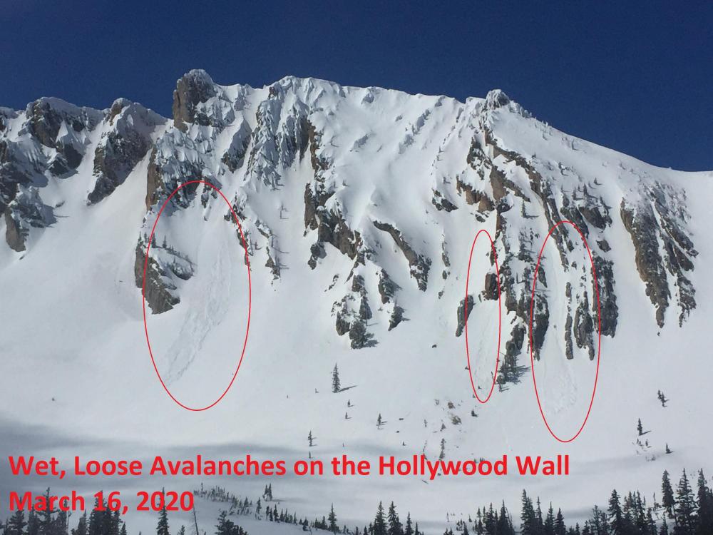
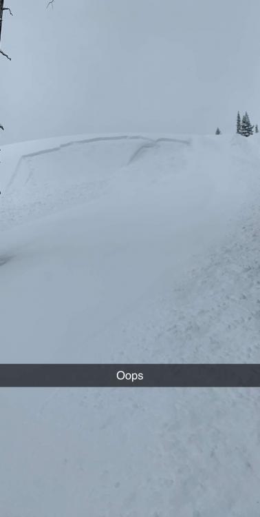
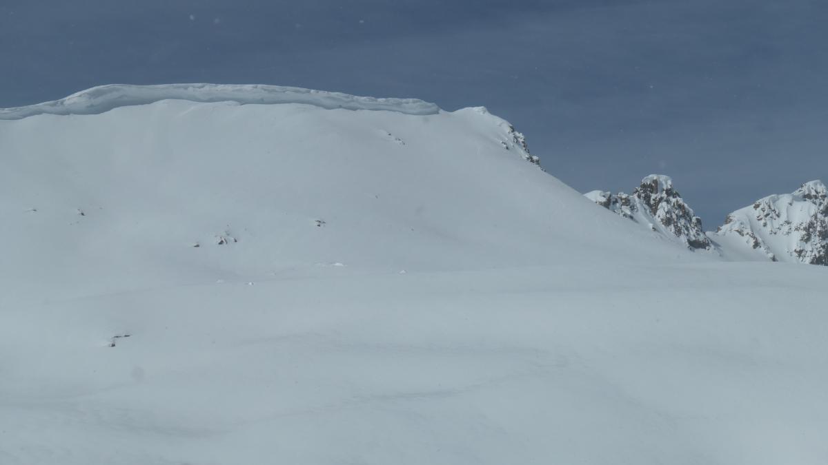
Bridger Range, 2020-03-17 We observed 7 wet, loose snow avalanches today in the Northern Bridger Range. All avalanches were in the R1, D1-1.5 size range. They would be consequential in the steep, technical terrain where they occurred. Photo: GNFAC Link to Avalanche Details |
|
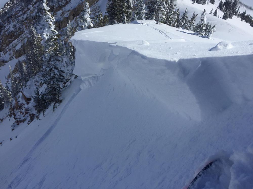
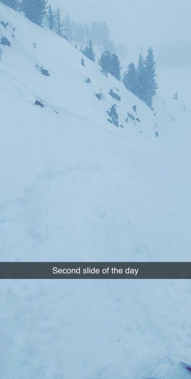
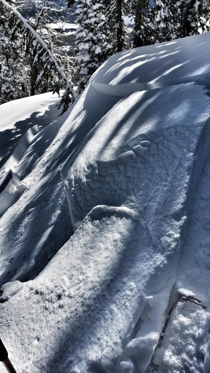
Bridger Range, 2020-03-17 We intentionally triggered a small wind slab and cornice before committing to a north-facing line in Frazier Basin. Photo: GNFAC Link to Avalanche Details |
|
Cooke City, 2020-03-16 Small slab avalanche in the upper Republic Valley, a northeast aspect around 10,000'. Photo: B Fredlund Link to Avalanche Details |
|
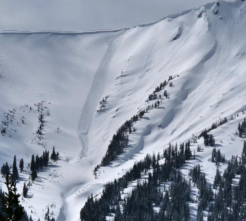
Northern Gallatin, 2020-03-16 From the Blackmore/Elephant saddle, I observed what looked to be a less than a day old cornice break which triggered a loose wet slide in front of it. The cornice debris was large, about the size of a VW beetle. I also observed some surface hoar on the north side of the saddle. Photo: B. Gordon Link to Avalanche Details |
|
Cooke City, 2020-03-16 Snowmobile triggered avalanche near Lulu Pass. Photo: Anonymous Link to Avalanche Details |
|
Cooke City, 2020-03-16 Snowmobile triggered avalanche near Lulu Pass. Photo: Anonymous Link to Avalanche Details |
|
Cooke City, 2020-03-16 From e-mail on 3/15/20: "At around 1230pm today, everything that was steeper than 35 degrees in star Creek simultaneously slid on east, north, south aspects. Soft slab 6-12" in thickness. Prior to that, it had been snowing S5 for three hours." Photo: B. Zavora Link to Avalanche Details |
|
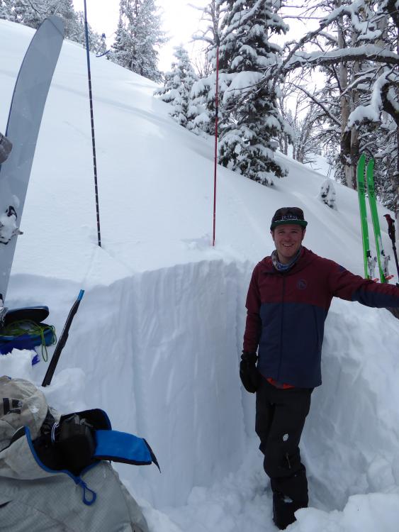
Southern Madison, 2020-03-15 Spencer Jonas, GNFAC intern, in a snowpit in Beehive Basin. We found over 6 feet of snow and just dug our the top 4 feet to assess the stability. The new snow is bonding well and there were no signs of instability. Photo: GNFAC |
|
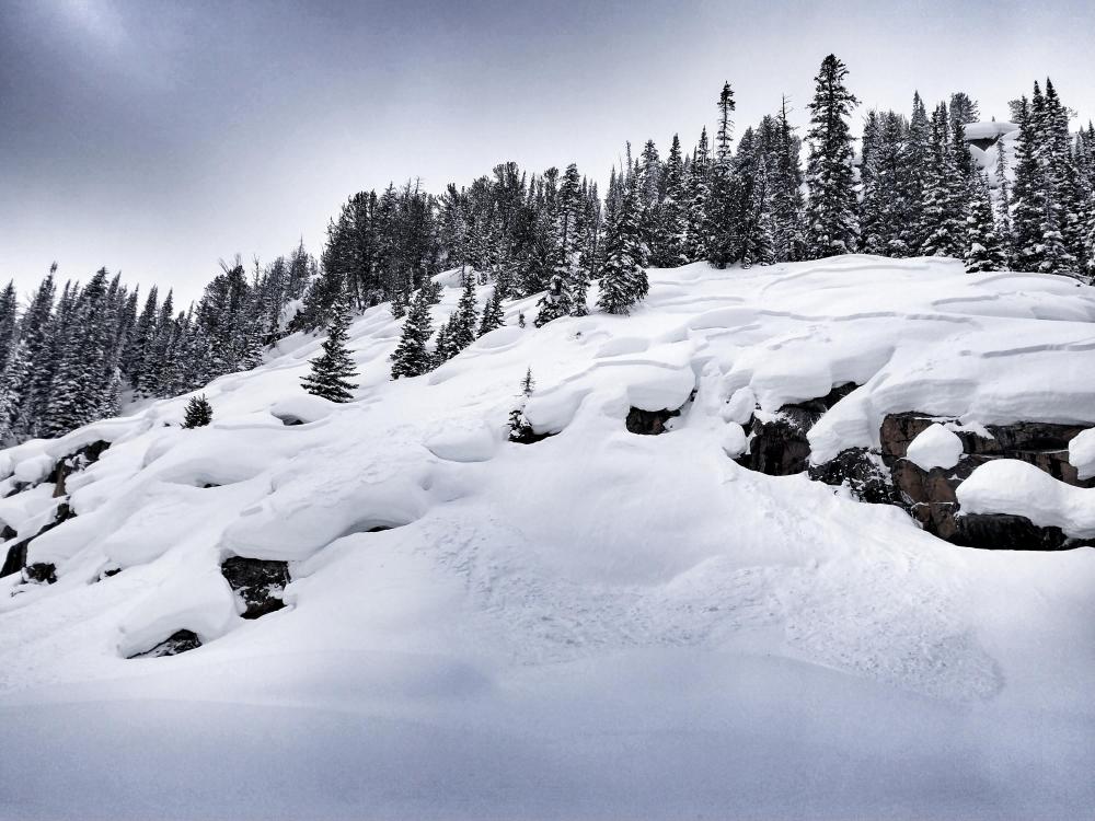
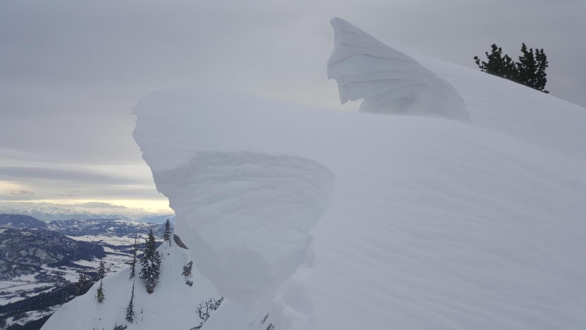
Cooke City, 2020-03-13 Cornices are growing to immense sizes in Cooke City. Try to minimize your time underneath these monsters and stay far away from the edge if you are on ridge tops. Photo: GNFAC |
|
Bridger Range, 2020-03-13 From obs. on 3/10/2020: "Really touchy windslab formation throughout the day. 6-12 in slabs running on freeze crust." Photo: D. Wyckoff Link to Avalanche Details |
|
Bridger Range, 2020-03-12 Cornices have grown rapidly in the last few days. These will be susceptible to breaking and could trigger pillows of wind slabs under them. Photo: Bridger Bowl Ski Patrol |

|
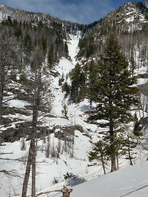
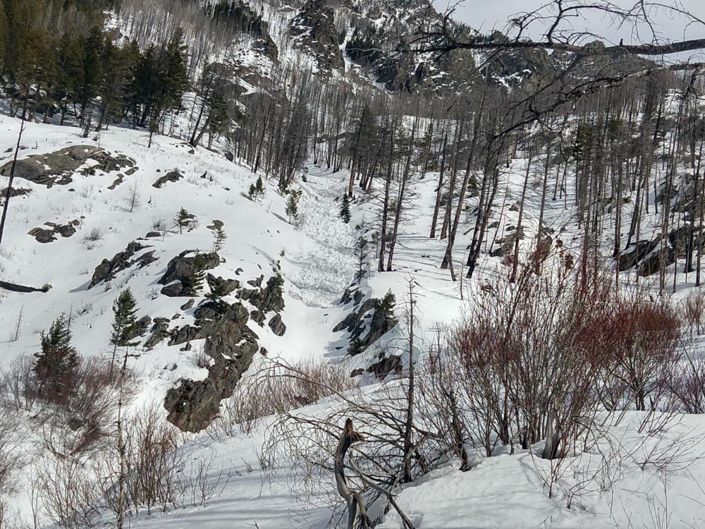
Out of Advisory Area, 2020-03-11 "My partner and I were snowshoeing to Pine Creek Lake on Saturday 3/7 when we came across a large amount of avalanche debris piled up in the creek bed/gully of the north fork of Pine Creek." Photo: Ben Polk Link to Avalanche Details |
|
Out of Advisory Area, 2020-03-11 "My partner and I were snowshoeing to Pine Creek Lake on Saturday 3/7 when we came across a large amount of avalanche debris piled up in the creek bed/gully of the north fork of Pine Creek." Photo: Ben Polk Link to Avalanche Details |
|
Out of Advisory Area, 2020-03-11 "My partner and I were snowshoeing to Pine Creek Lake on Saturday 3/7 when we came across a large amount of avalanche debris piled up in the creek bed/gully of the north fork of Pine Creek." Photo: Ben Polk Link to Avalanche Details |
|
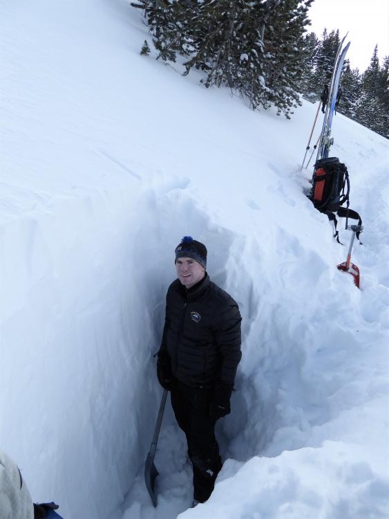
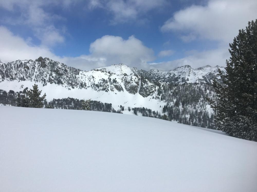
Cooke City, 2020-03-11 Mike Thom, Gardiner District Ranger, stands in a 7-foot deep snowpit at 9900' on Woody Ridge to the south of Cooke City. We found wind-loading to be our primary concern. Facets were still present at the base of the snowpack, but they are stable for now. Photo: GNFAC |
|
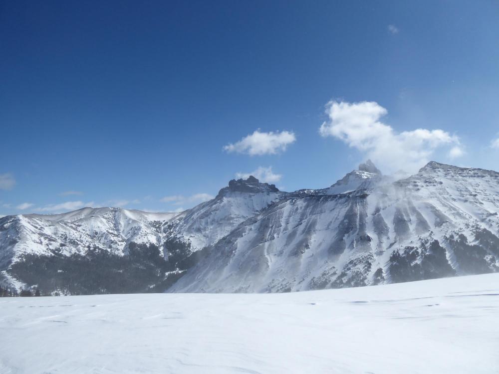
Cooke City, 2020-03-11 Strong wind stripped snow off many slopes above treeline. Photo: GNFAC |

|
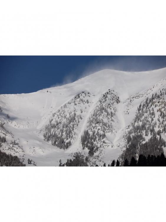
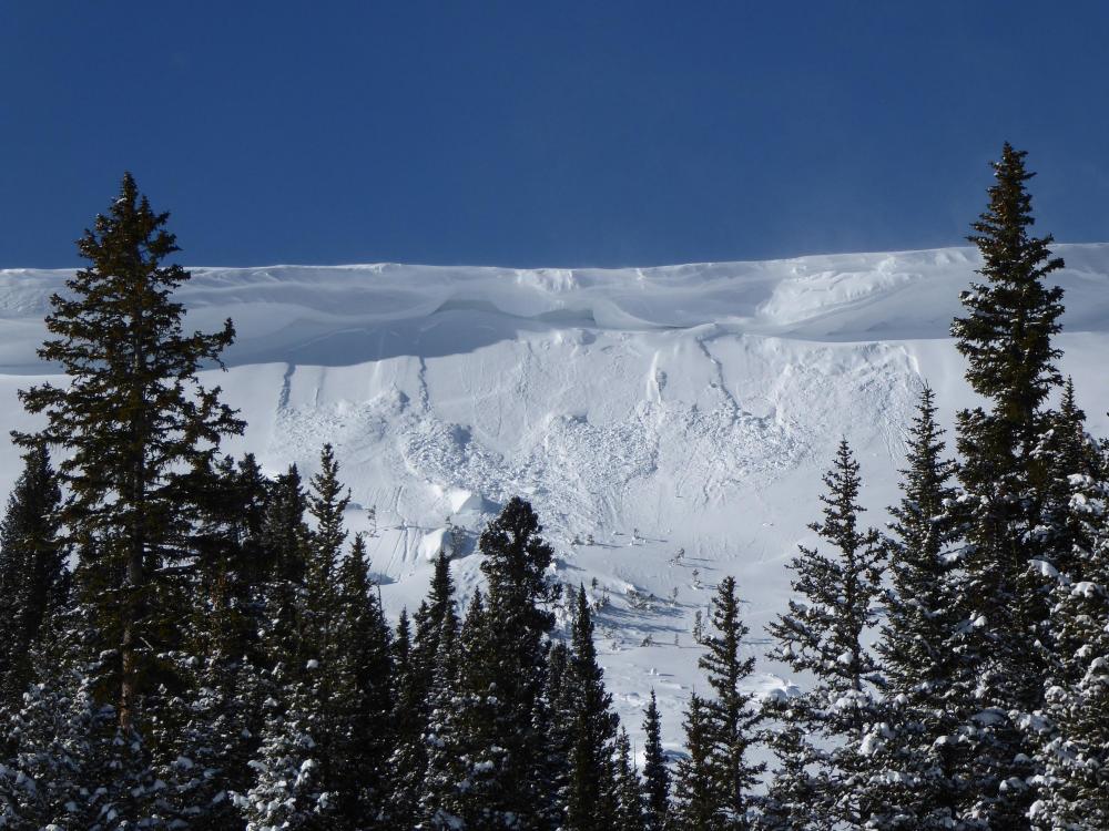
Cooke City, 2020-03-11 This naturally triggered avalanche likely happened Tuesday morning. Strong wind loaded slopes and made huge cornices. Photo: GNFAC Link to Avalanche Details |
|
Bridger Range, 2020-03-11 The winds blew the new new into wind slabs that avalanched naturally yesterday. This photo was taken at 9:30 a.m. on Tuesday (3/10) by Evan Schock. Link to Avalanche Details |
|
Northern Madison, 2020-03-10 Very small avalanches in the new snow at Buck Ridge, seen on the morning of 3/10/2020. These slides were <6" deep and around 10' wide. Photo: GNFAC |
|
Northern Madison, 2020-03-09 After a jump turn into a ski cut to one of those protected spots, my partner triggered a storm slab about 4” thick that propagated from the edge of our boot pack on one wall of the chute to the other wall about 20/30’ across and then ran the rest of the chute onto the apron about 300’ below us. No one was caught or injured. We skied out of the chute on the crust bed surface and spent the rest of the day enjoying some low angle trees. The chute was around 40° at 9,000’-9,500’ and west facing. Photo: C. Oshiro-Leavitt Link to Avalanche Details |