Photos
|
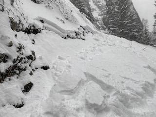
Northern Gallatin, 2021-12-06 From email (12/5/21) : "Small avalanche triggered while approaching ice climb in East fork of Hyalite basin. Photo: A. Schoening Link to Avalanche Details |
|
Out of Advisory Area, 2021-12-03 From obs (12/2/21): "Climbed Emigrant Peak from the Gold Prize trailhead via the NW Ridge. As with the rest of the advisory zones, it is dry in the Absarokas. Snow still remains lower in the trees from past storms and, on the ridge, certain pockets have over two feet of wind blown snow. Yet the ridge itself as well as common ski descents to the NW and SE are both quite rocky. Poked around at about 9750 ft on the leeward side of the NW ridge and found an expected wind slab layer with faceted snow underneath it. Lower down at 9200 ft at treeline, I found a shallow snowpack with two distinct crusts near the ground. Both crusts had faceted snow above and below them." Photo: H. Darby |
|
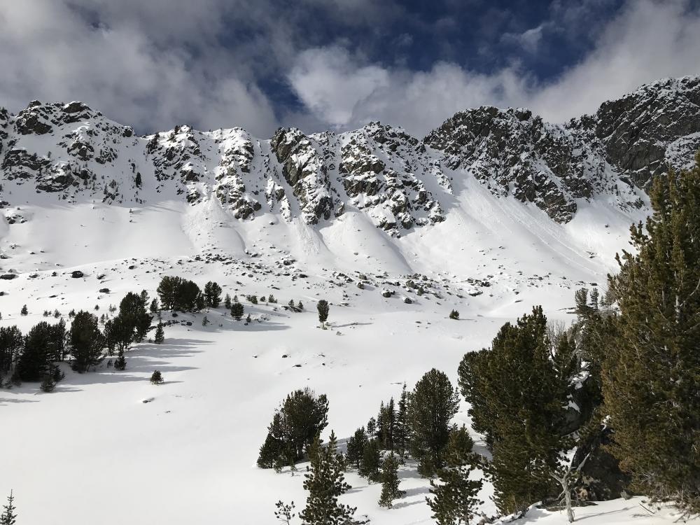
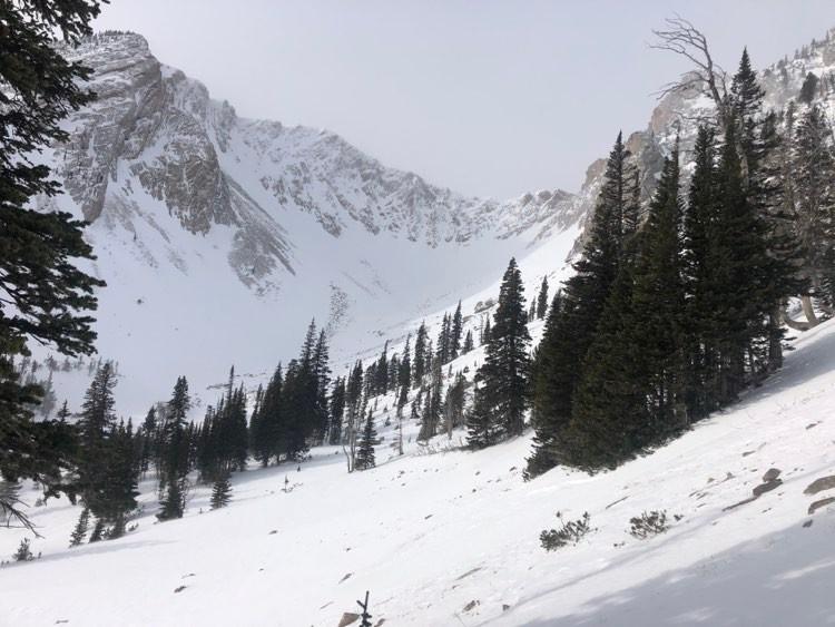
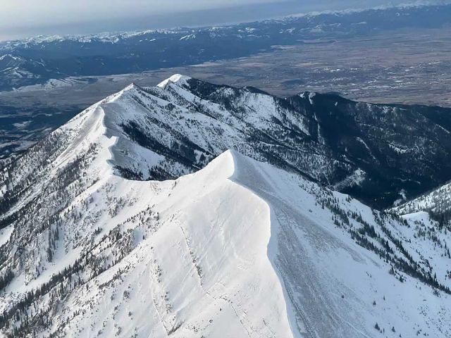
Northern Gallatin, 2021-11-28 Skiers in Hyalite Canyon observed a small wind slab avalanche just below the ridgeline in Divide Cirque (below cornice on the peak in the center of the photo). Photo: T. Saulnier |
|
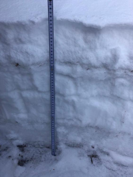
Bridger Range, 2021-11-28 Skiers near Bridger Bowl reported a thin snowpack with "a distinct crust at around 21 cm with a loose, semi-sugary layer of snow just above it from 21-27cm above the ground." Photo: H. Darby |

|
Northern Madison, 2021-11-28 Skiers in Beehive Basin observed pin wheels on a south-facing slope that are consistent with this weekend's warm temperatures. Unusual for late November in Montana! Photo: Dorje |
|
Northern Madison, 2021-11-28 Skiers in Beehive Basin observed a small slab avalanche and pin wheels on a south-facing slope. Photo: Dorje |
|
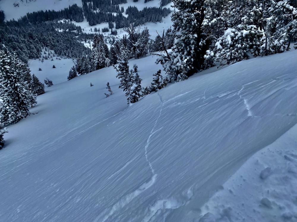
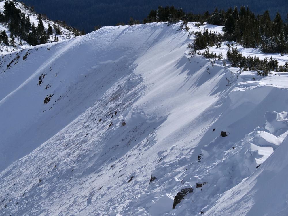
Northern Gallatin, 2021-11-27 Skiers on Mount Blackmore observed cracking within the freshly wind-loaded snow on a southeast-facing slope just below the ridge (11/24/21). Photo: J Schack Link to Avalanche Details |
|
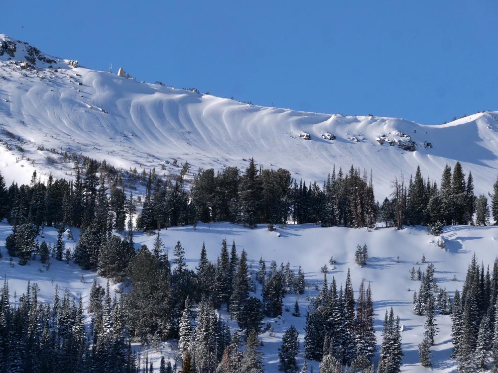
Out of Advisory Area, 2021-11-22 This powder cloud from a large avalanche was seen on Black Mountain, up Pine Creek outside Livingston. Located outside our advisory area it is a sign of unstable snow, likely from wind-loading, that can be found throughout southwest Montana. Photo: Anon Link to Avalanche Details |
|
Bridger Range, 2021-11-21 Skiers found a shallow snowpack and very windy conditions today. Snow was moving and loading slopes. Photo: H. Darby |
|
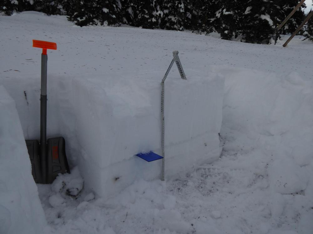
Bridger Range, 2021-11-21 From an obsevation: Skied up towards Arrowhead Bowl from Fairy Lake road. Snowpack is still very thin in the trees as you ascend towards the ridge. Strong westerly winds and exposed rocks deterred us from skiing the bowl itself. Down low we found variable conditions ranging from a few cm of graupel to a few cm of windboard and ice in places. We dug a pit at 8140 feet, 143º SE. The snowpack is 55 cm deep with a very distinct knife hard crust layer from 0-20cm above the ground, we were thinking that could be due to a rain on snow event that fell on top of the October snow. There is also a distinct knife crust 40 cm above the ground with new snow/wind blown snow on top of that. Weather today was mostly clear with a few scattered clouds and consistent winds, with very strong gusts from the west. Photo: H. Darby |
|
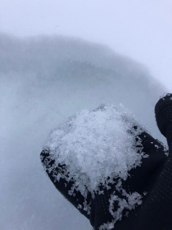
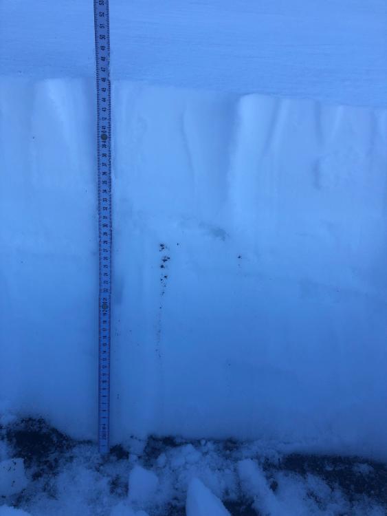
Island Park, 2021-11-17 The snow was breaking 1 foot off the ground in the layer at the blue crystal card. Weak, sugary snow broke and propagated in the extended column test with 18 and 21 taps. We anticipate this weakness to get worse in the coming weeks. Photo: GNFAC |
|
Island Park, 2021-11-17 There was almost 2 feet of snow (60 cm) at 8800' on NE aspect of Sawtelle Peak. Weak snow (facets) is forming a foot off the ground and were breaking consistently in stability tests. Photo: GNFAC |
|
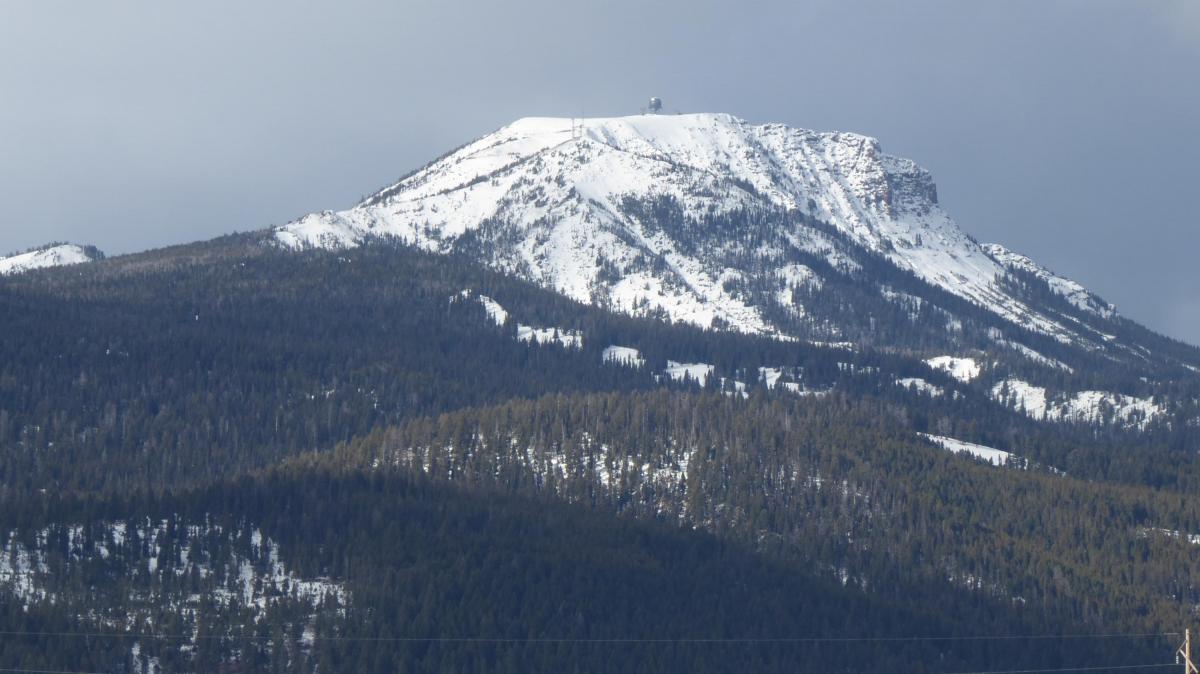
Lionhead Range, 2021-11-17 Snowcover on Lionhead ridge begins at about 7,000' in elevation on 11/16. Snowmobiling or skiing from Targhee Pass looks very thin and patchy. Photo: GNFAC |
|
Island Park, 2021-11-17 Taken on 11/16, consistent snow on all aspects begins around 7,000 feet. 1.5-2 feet of snow is found above 8.500'. Photo: GNFAC |
|
Cooke City, 2021-11-16 From e-mail 11/15/21: "east Henderson had a fresh slab avalanche- on a NE aspect around 10,000'. It appeared to have failed on a weak layer near the ground, and I'd guess it was about 2-3' deep and 300'+ wide." Photo: B. Fredlund Link to Avalanche Details |
|
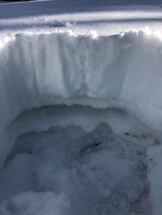
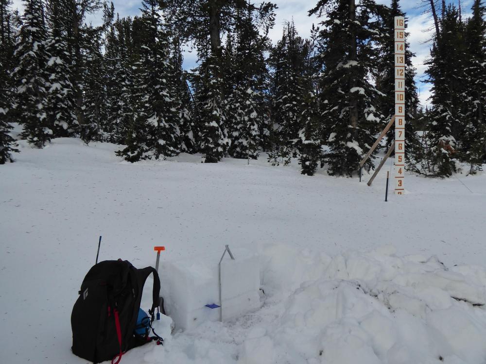
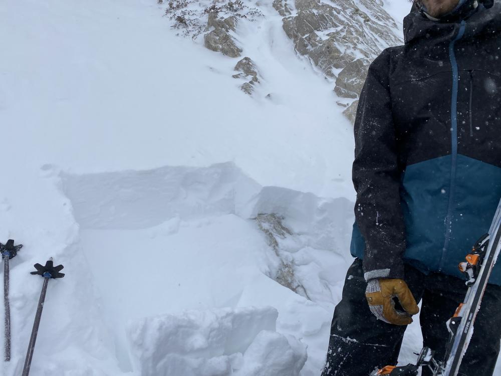
Bridger Range, 2021-11-12 From obs 11/11/21: "Dug a snow pit at 8,280ft adjacent to a chute. It was NW aspect. We found a ~35cm 1 finger windslab sitting on top of a ~25cm knife hard slab. We got CT 12 on the first slab and CT 15 on the deeper slab. On the ECT, we got a slight fracture at 15 taps and a full fracture at 17 (ECTP+2). This layer seemed to be on all aspects we looked at above tree line on NW faces. Bellow treeline, the snowpack was shallower and seem to lack these slabs." Photo: J. Krause |
|
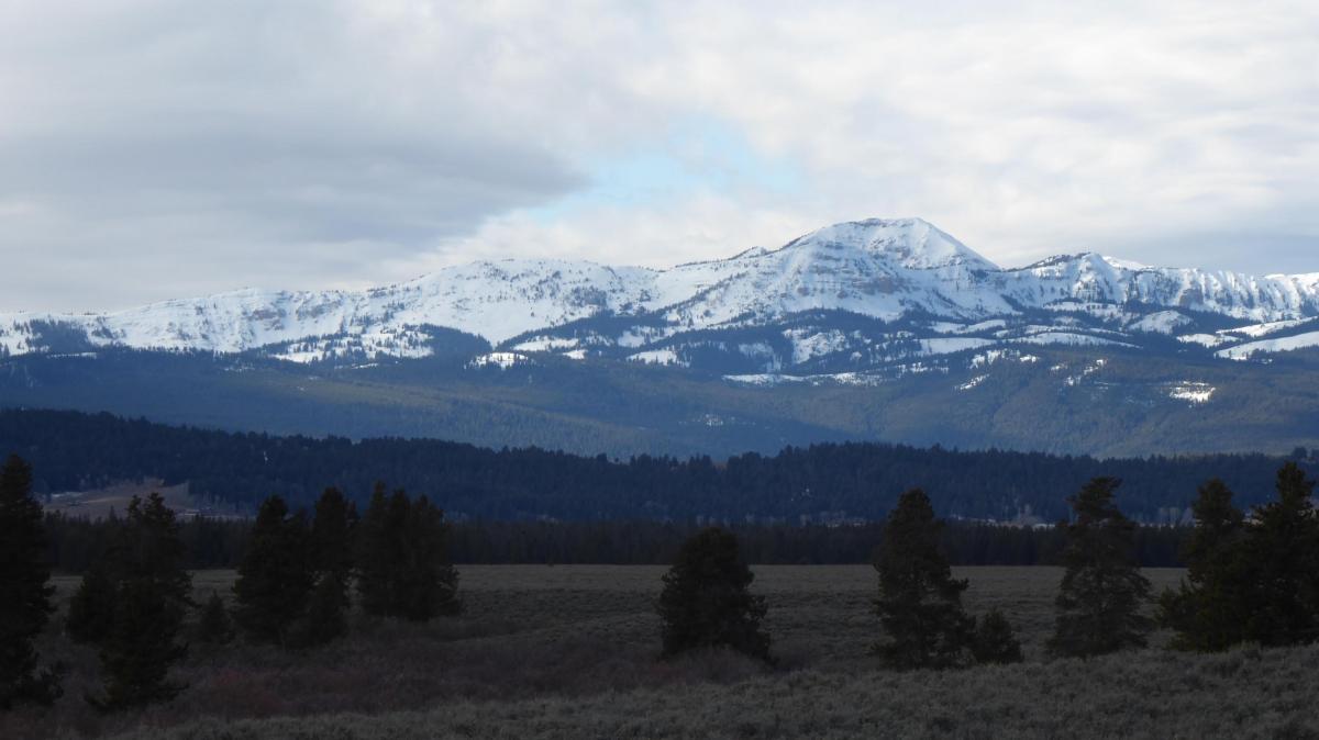
Bridger Range, 2021-11-12 Snow cover on the southern end of the Bridger Range on 11/11/21. Photo: T. Tumolo |
|
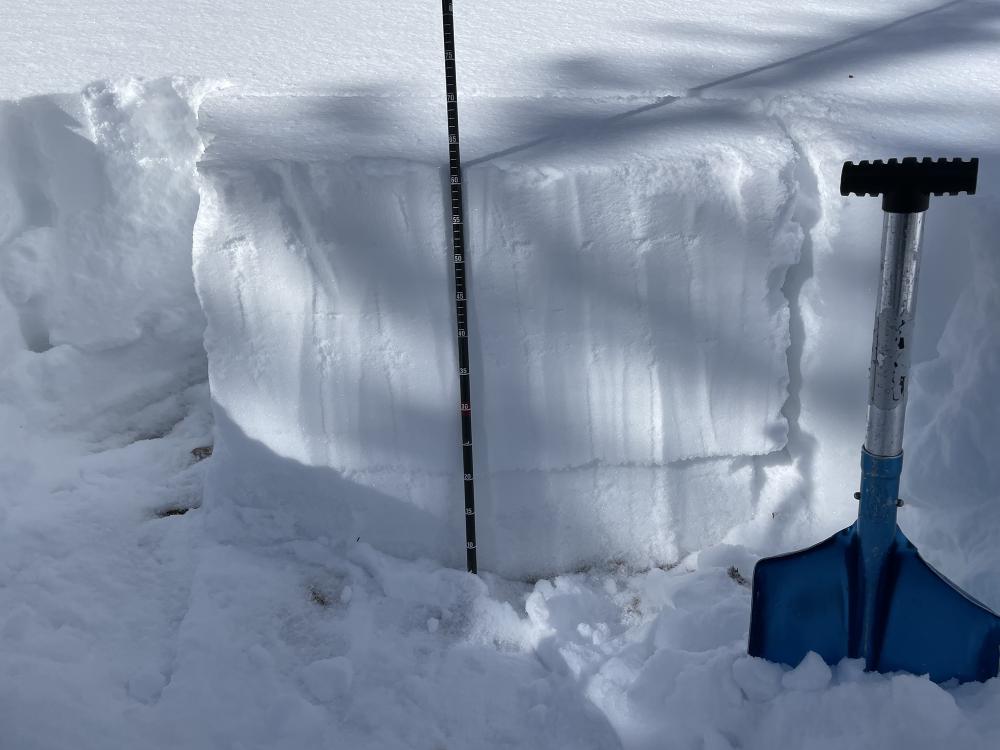
Cooke City, 2021-11-11 From e-mail 11/10/21: "an east aspect around 9900'. HS 63cms. ECTV on facets at 19cms." In this snowpit the slab collapsed above the weak layer when the observer isolated the column to perform an extended column test (ECT), hence the score ECTV (ECT-very easily collapsed and propagated). Photo: B. Fredlund
|
|
Cooke City, 2021-11-11 From email 11/10: "Wind effect: significant in most upper elevation exposed locations. Westerly winds were moving a lot of snow off the high peaks all day today." Photo: B. Fredlund |