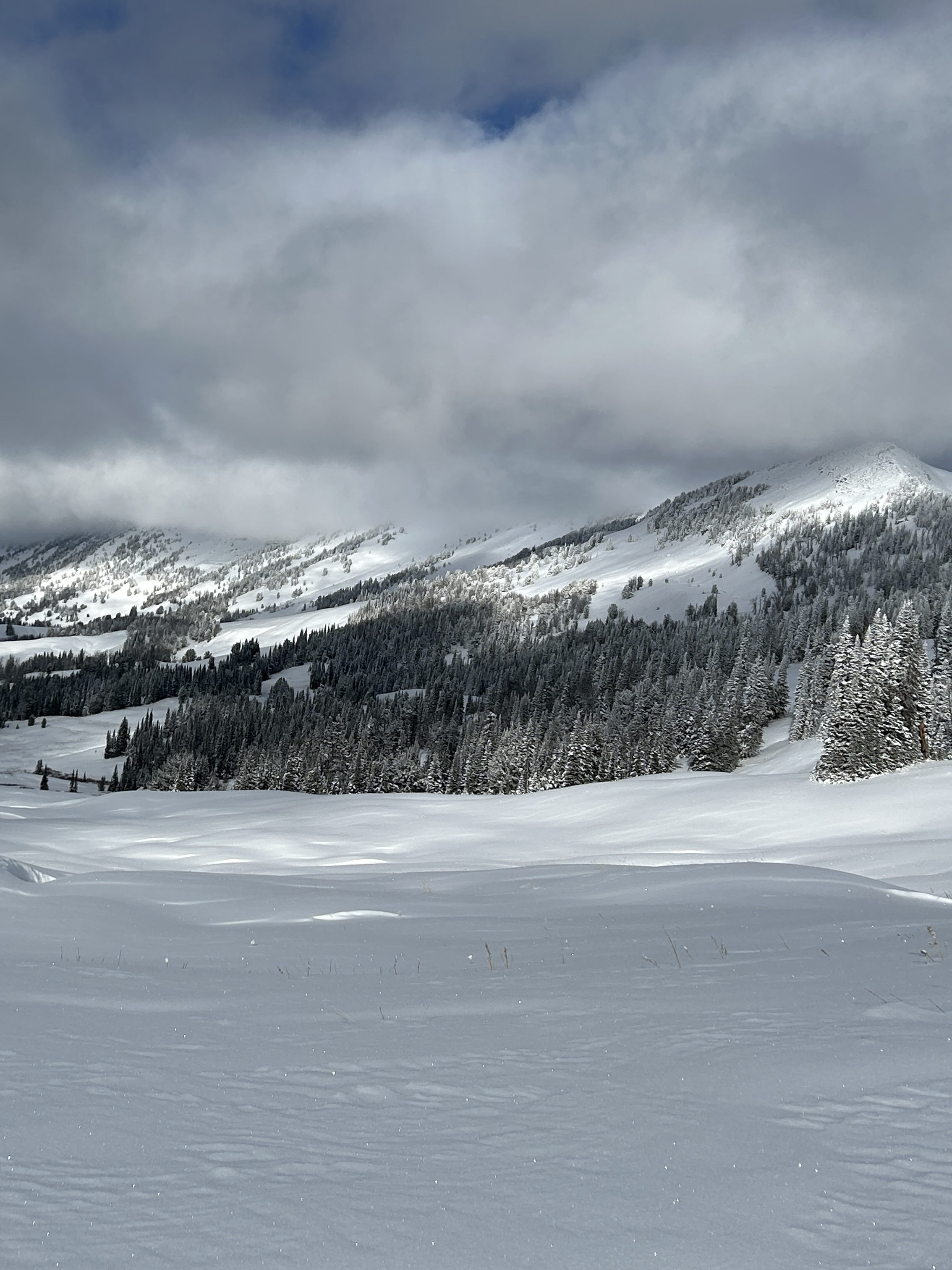
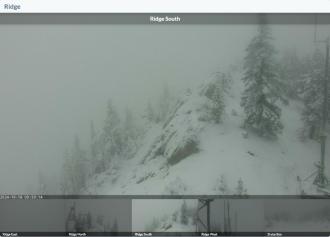
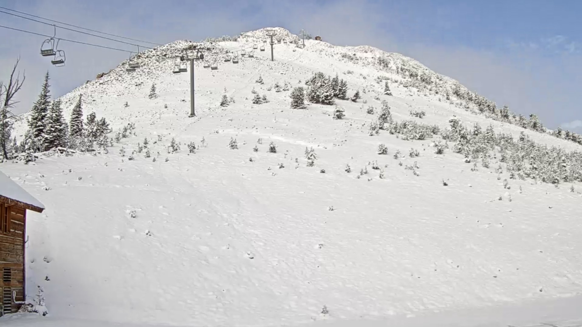
Cabin Creek snow cover
Trip Planning for Island Park

Primary Problem: None
Bottom Line: Spring weather can be highly variable and create a mix of avalanche problems to watch out for. Snow conditions and snow stability can change drastically from day to day or hour to hour. Anticipate rapid change and plan accordingly. Plenty of snowfall over the winter with more spring snow to come makes avalanches possible into summer.Past 5 Days
Mon Apr 21

None
None
Fri Apr 25
None
None
Mon Apr 28
None
None
Fri May 2
None
None
Mon May 5
None
None
Relevant Photos
Displaying 41 - 53
-
-
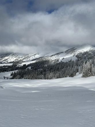
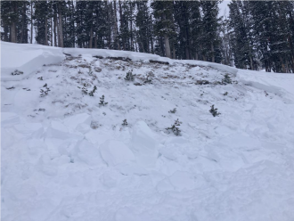
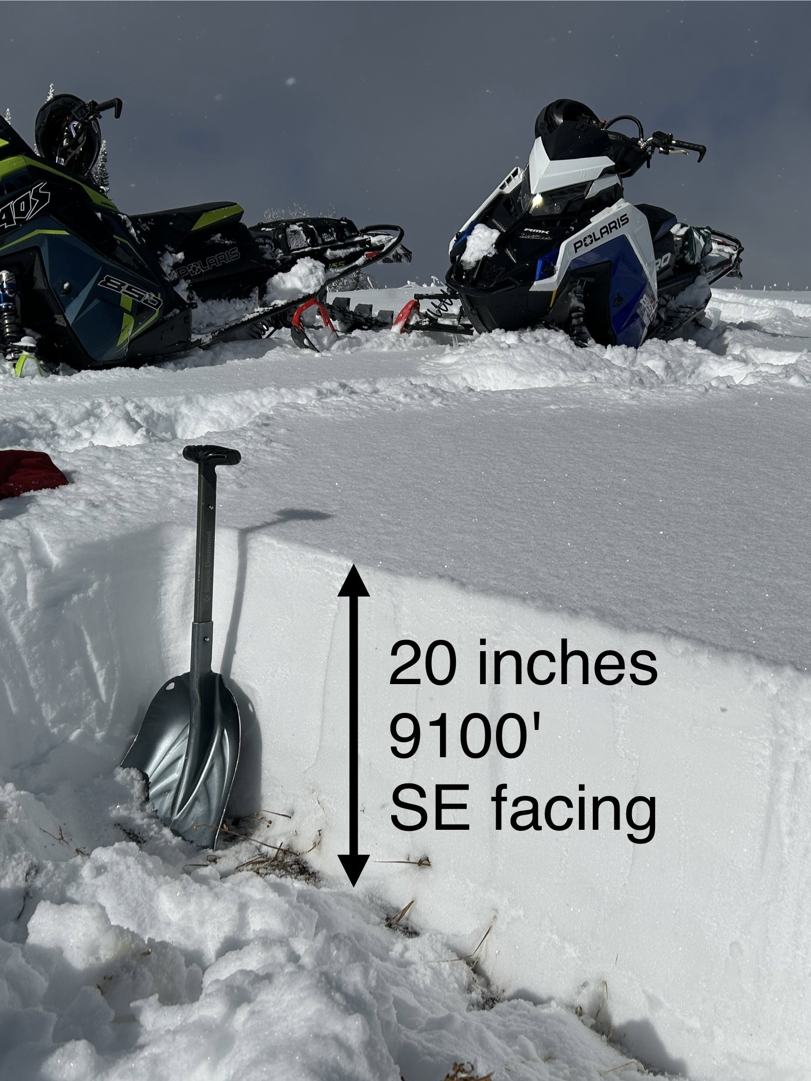
SE facing snow Cabin Creek
-

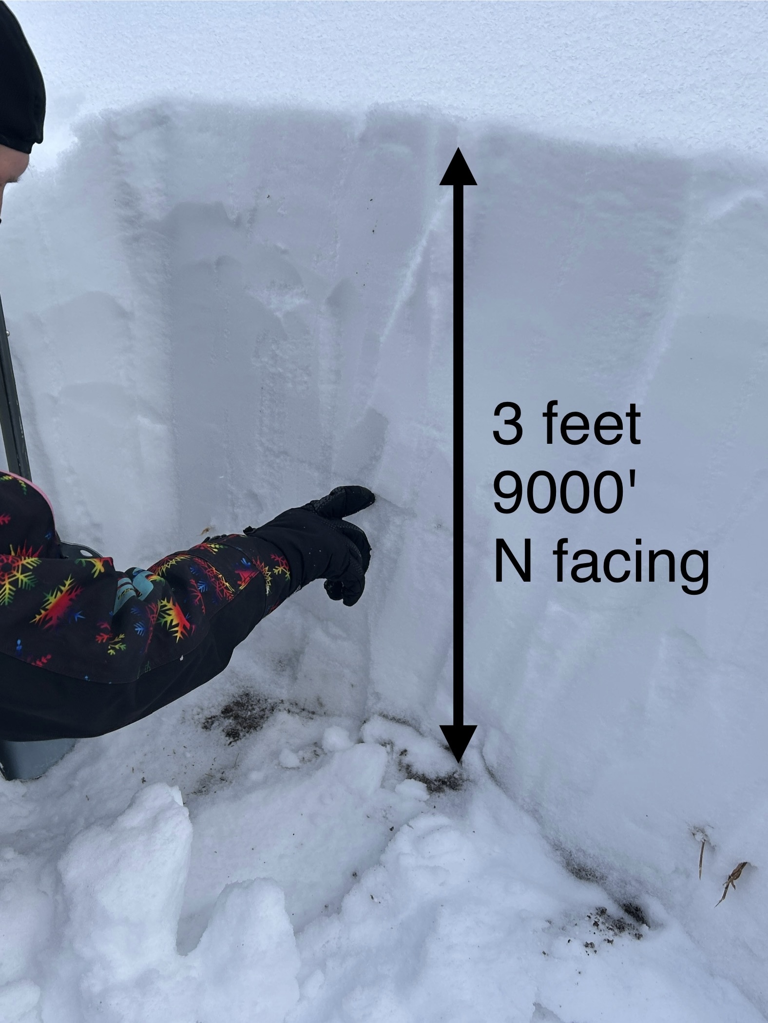
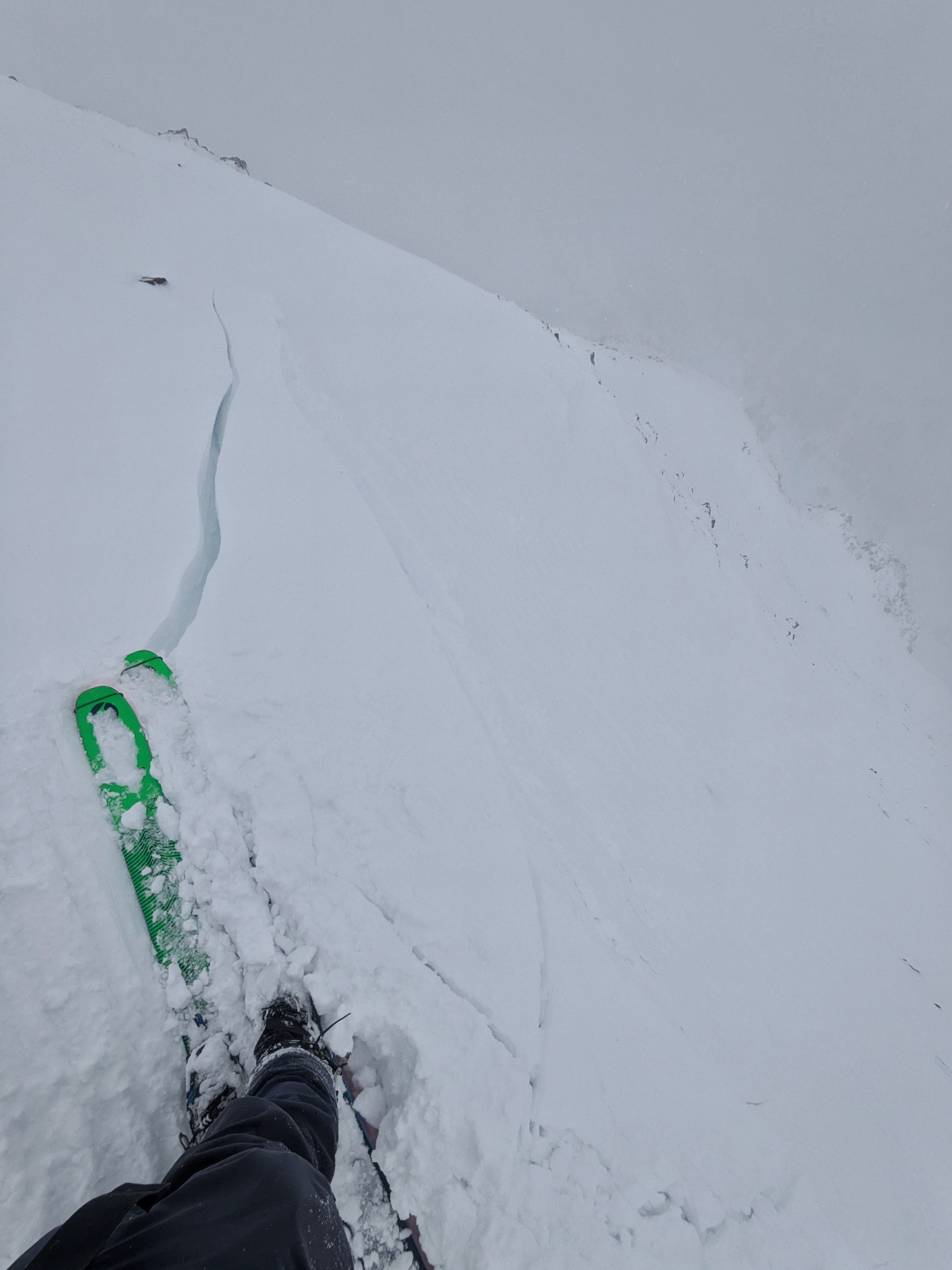
N facing snow Cabin Creek, 9000 ft
-

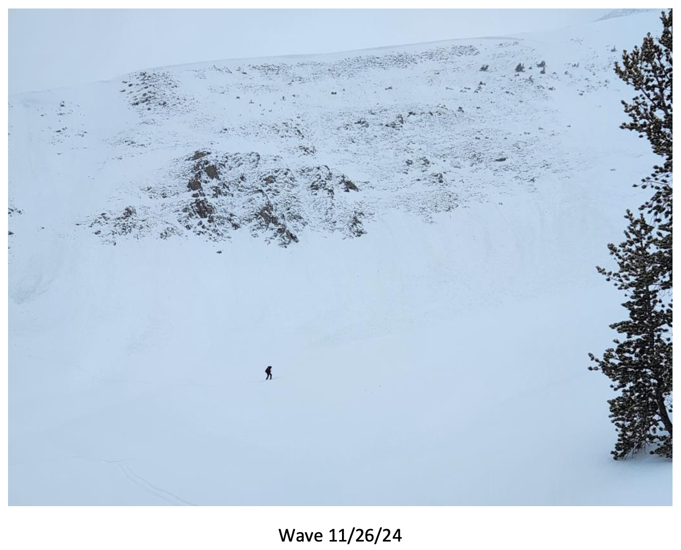
Big Sky Ski Patrol triggered this avalanche during mitigation work in The Wave on 11/26/24... "2-3' deep on an ice crust just above the ground with a 2# shot in the Upper rodeo. Volume was limited as most of the snow was loaded just underneath the cornice, but still produced a sizeable size 2... Other paths in the Lenin region ran meaty wind slabs, full track with no significant step downs." Photo: BSSP
-
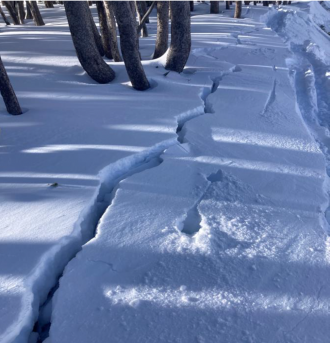
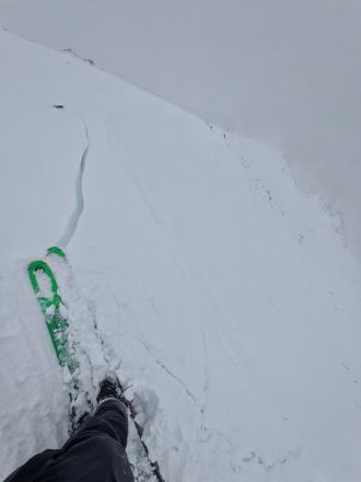
Cracking on old, faceted, October snow hundreds of feet long. North facing near treeline. Photo: BSSP
-
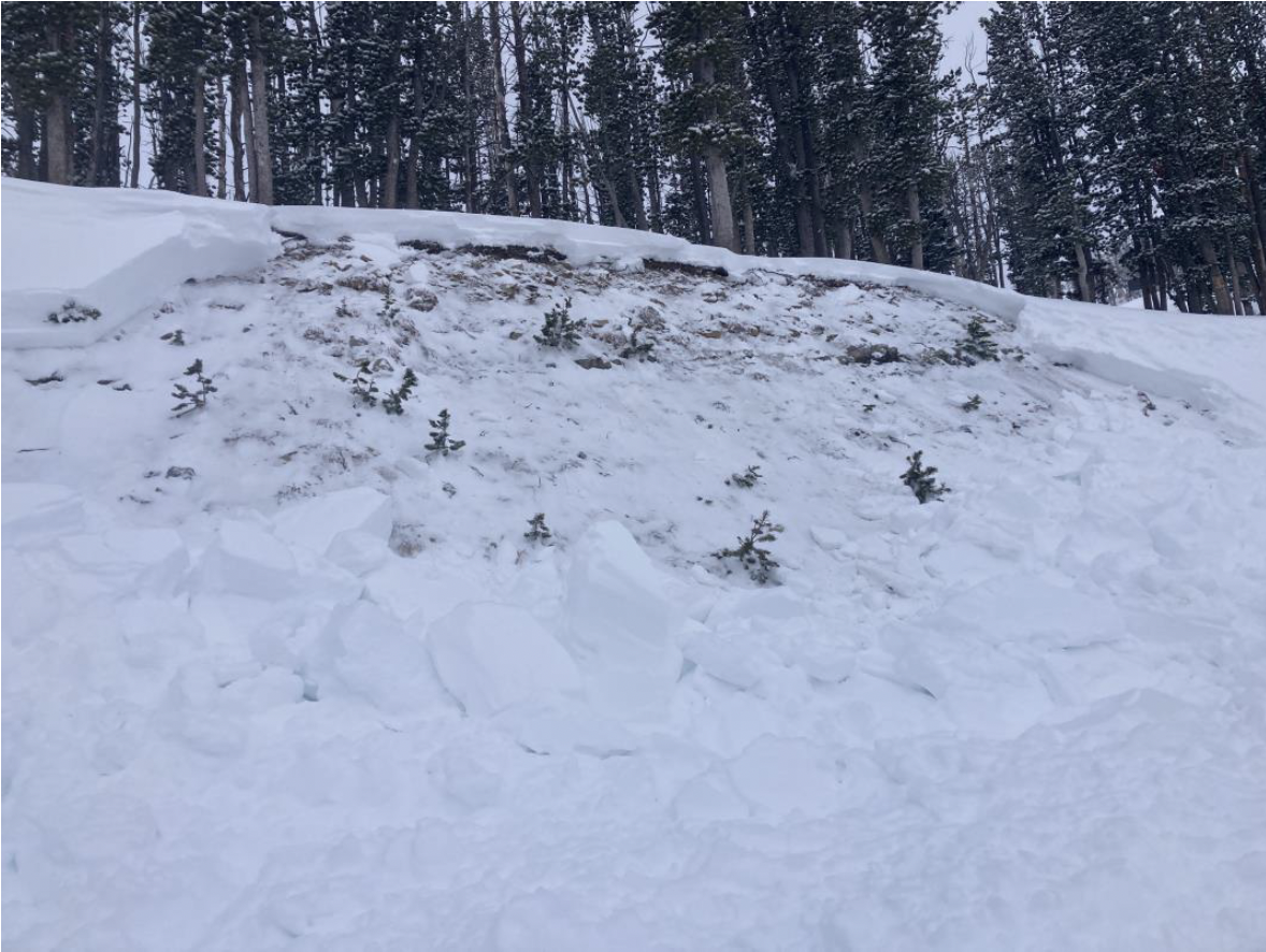
Intentional, human-triggered avalanche by a ski patrol breaking at the ground on a north facing slope near treeline. Photo: BSSP
-
Sawtelle snowpack. Photo: GNFAC
-
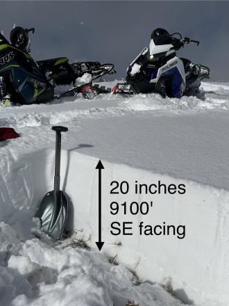
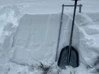
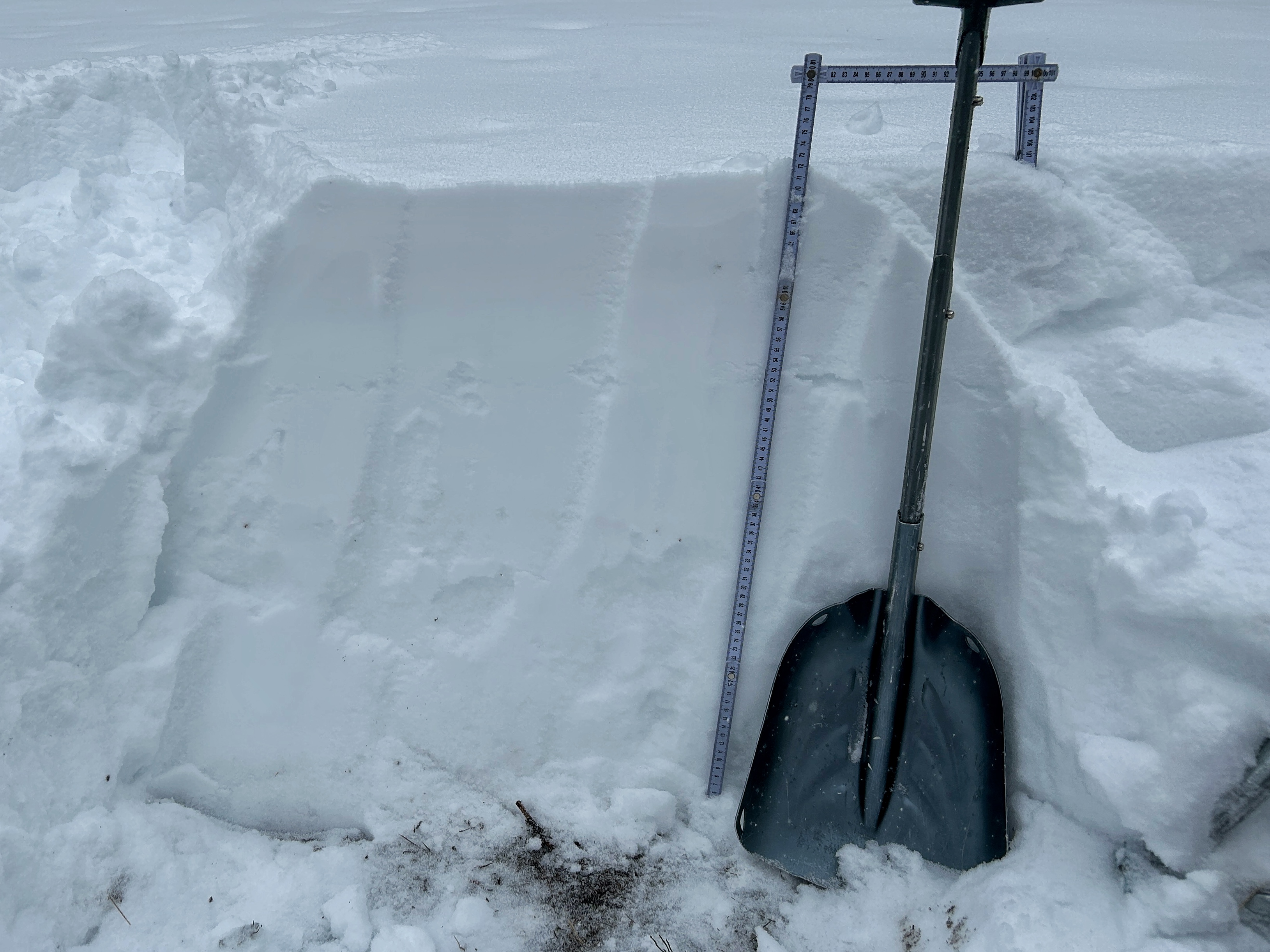
Snowpit at Bridger Bowl on 11/5. Photo: B. VandenBos
-
From e-mail: "Photo attached from near top of hyalite peak, 11/2. Cracking in recent hard wind slab, I had to really jump hard to make this. Walked on many other hard slabs that were well bonded. Highly variable snowpack. I think you'd be most likely to get into trouble by popping out a small hard slab pocket like this and getting magic carpeted into some thinly covered terrain." Photo: B. VandenBos
-

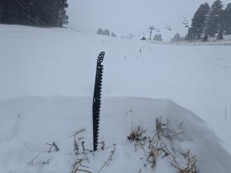
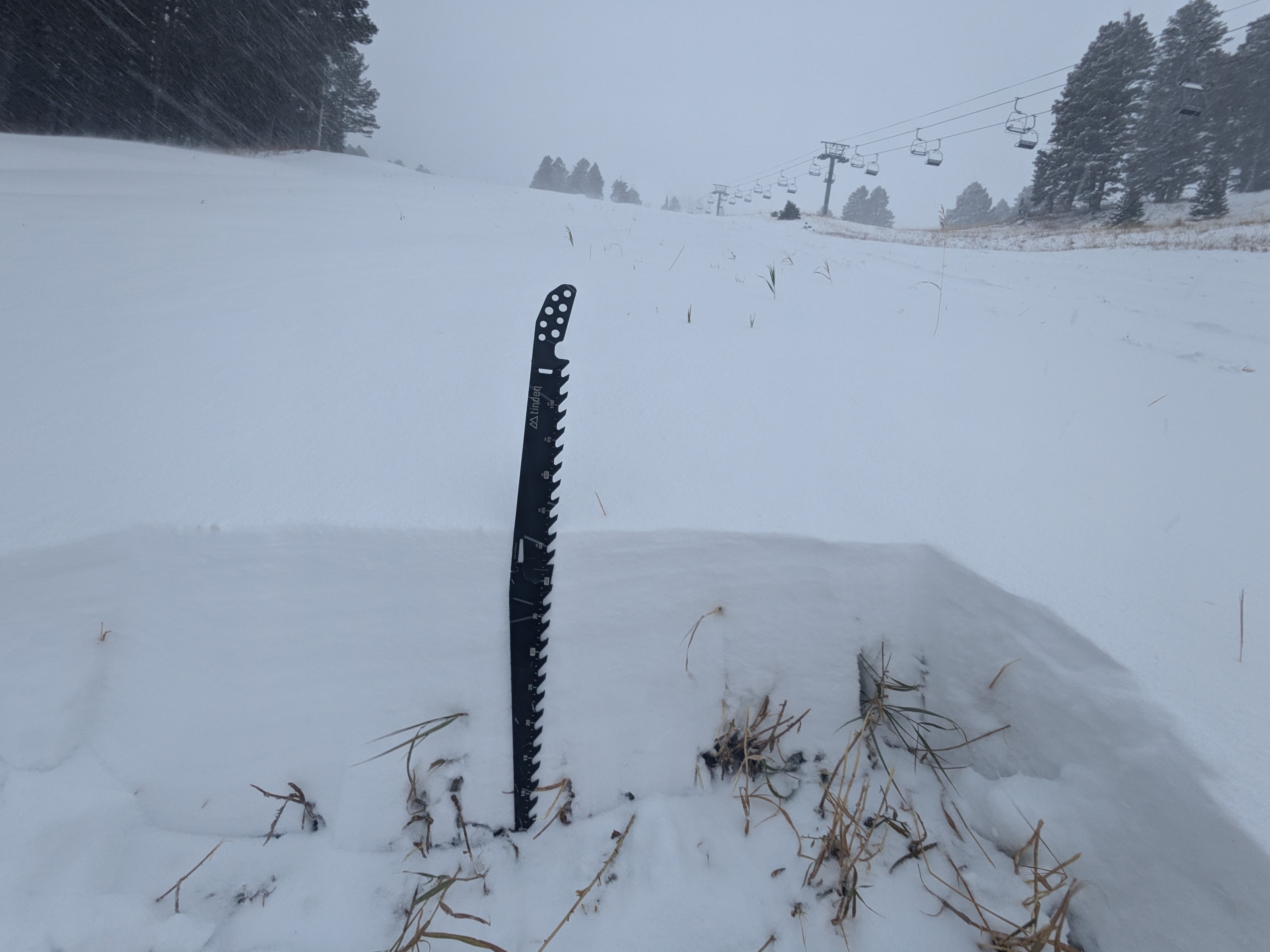
From obs: "1-3 mm faceting in front of the Montage. Clear skys and mid 20 temps"
-

On October 17, rain turned to snow and blanketed the mountains of southwest Montana with a fresh coat of snow. Photo: Yellowstone Club Webcam
-
On October 17, rain turned to snow and blanketed the mountains of southwest Montana with a fresh coat of snow. Photo: Bridger Bowl Webcams
-
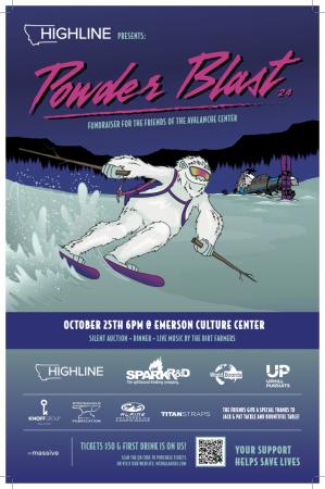
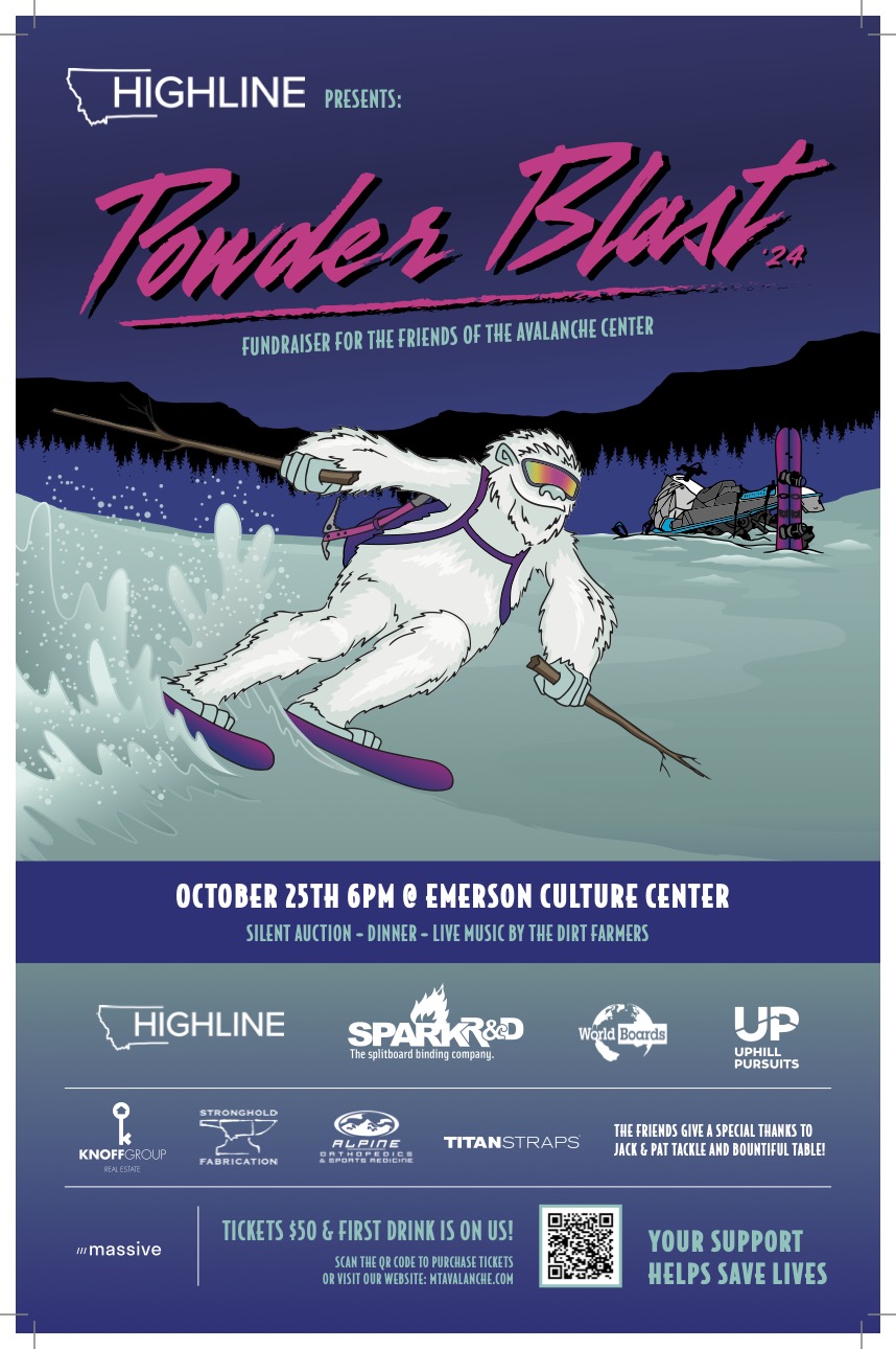
The 26th annual fundraiser for the Friends of the GNFAC is October 25 at the Emerson Cultural Center. More info and tickets at: https://events.eventgroove.com/event/Powder-Blast-2024-101627


Videos- Island Park
Weather Stations- Island Park
Weather Forecast Island Park
Extended Forecast for10 Miles ESE Lakeview MT
Overnight

Low: 48 °F
Mostly Clear
Saturday

High: 75 °F
Sunny
Saturday Night
Low: 51 °F
Mostly Clear
Sunday
High: 78 °F
Sunny
Sunday Night
Low: 53 °F
Mostly Clear
Monday
High: 77 °F
Sunny
Monday Night
Low: 51 °F
Slight Chance
T-storms then
Mostly ClearTuesday
High: 73 °F
Slight Chance
Showers then
Chance
T-stormsTuesday Night
Low: 46 °F
Chance
T-storms then
Partly Cloudy
The Last Word
We ended our 35th winter in operation after 141 forecasts and ZERO avalanche fatalities, the second winter in a row with no avalanche deaths. The last time this happened was 1988 and 1989. It’s been an incredible season.
Thank you for all your support! Our success is directly related to support from our community and the Forest Service. Thanks to the readers of the forecast, everyone that sent in observations, took an avalanche class, or donated money, time or gear. Have a safe spring and summer!